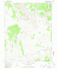
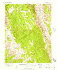
1964 Map of Red Breaks
USGS Topo · Published 1981About this map
The Escalante River carves through a landscape of elevated plateaus and deep incisions, a characteristically isolated portion of Garfield County as it appeared in the mid-1960s. High plateaus such as Big Spencer Flats, Brigham Tea Bench, and Big Bown Bench dominate the higher elevations, while drainage systems like Harris Wash and The King Gulch define the lower topography. Human presence is limited to the Old Sheffield Road (Jeep) and various unnamed jeep trails, reflecting the area's role as a remote wilderness accessible primarily by specialized vehicles. Notable geological features, including a Natural Arch and the distinctive formation known as the Red Breaks, suggest a terrain shaped by long-term erosion and complex drainage patterns, with smaller landmarks like Allen Dump and Death Hollow providing specific points of interest for historical navigation.
Find a feature on this map
18 named features on this map. Tap any name to fly to it.
Don’t see what you’re looking for? This feature index may not catch every label — zoom into the map to look around manually.
Map Details
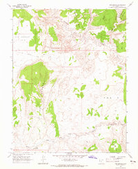
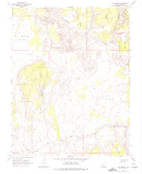
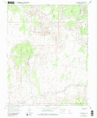
Editions of this 1964 Red Breaks Map
4 editions found
Other maps of this area

1886 · Escalante
USGS Topo · 1:250,000

1953 · Circle Cliffs 4 NW
USGS Topo · 1:24,000

1953 · Circle Cliffs 1 SW
USGS Topo · 1:24,000

1953 · Circle Cliffs 4 SW
USGS Topo · 1:24,000

1953 · Moody Creek
USGS Topo · 1:62,500
1953 · Wagon Box Mesa
USGS Topo · 1:62,500

1956 · Escalante
USGS Topo · 1:250,000

1960 · Escalante
USGS Topo · 1:250,000

1964 · Sunset Flat
USGS Topo · 1:24,000

1964 · Tenmile Flat
USGS Topo · 1:24,000