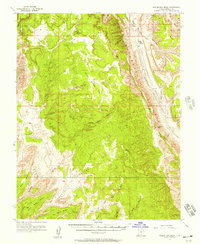
1953 Map of Wagon Box Mesa
USGS Topo · Published 1957About this map
Wagon Box Mesa stands as a central geologic feature in this mid-century survey of Garfield County, Utah. The landscape is defined by the massive Waterpocket Fold and the jagged Oyster Shell Reef running along the eastern edge, showing a terrain shaped by dramatic tectonic shifting. To the west, the Circle Cliffs rise above the drainage of Death Hollow and the Wolverine Bench. While much of the area within the Dixie National Forest boundary remains undeveloped, the map records signs of early exploration and livestock use, such as Onion Flats Seep and a remote Prospect near Lamp Stand. The intricate network of canyons, including White Canyon and Wolverine Canyon, illustrates the complex erosion patterns that characterize this portion of the Colorado Plateau.
Find a feature on this map
37 named features on this map. Tap any name to fly to it.
Don’t see what you’re looking for? This feature index may not catch every label — zoom into the map to look around manually.
Map Details
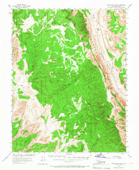
Editions of this 1953 Wagon Box Mesa Map
2 editions found
Other maps of this area

1885 · San Rafael
USGS Topo · 1:250,000

1885 · Fish Lake
USGS Topo · 1:250,000

1886 · Escalante
USGS Topo · 1:250,000

1886 · Henry Mountains
USGS Topo · 1:250,000

1892 · Henry Mountains
USGS Topo · 1:250,000

1896 · Fish Lake
USGS Topo · 1:250,000

1952 · Notom 4 SE
USGS Topo · 1:24,000

1952 · Notom 4 SW
USGS Topo · 1:24,000

1952 · Notom 3 SE
USGS Topo · 1:24,000

1952 · Grover
USGS Topo · 1:62,500