
1953 Map of Circle Cliffs 1 SW
USGS Topo · Published 1954About this map
Town Bench rises as a prominent high-ground feature within this 1950s survey of the Garfield County interior. The landscape is defined by the complex drainage systems of White Canyon and Horse Canyon in the north, while the southern portion is marked by the winding course of Death Hollow. This preliminary study, based on 1952 aerial photography, captures the intricate topography of the Horse Peaks before more formal 15-minute quadrangles were completed for the region. The absence of developed roads or settlements highlights the isolation of this corner of Utah, where the only orientation is provided by landmarks like the North Fork and the sheer vertical relief of the sandstone canyons. Researchers can observe the natural water patterns and unnamed tributary creeks that shaped the settlement possibilities and travel routes of this era.
Find a feature on this map
7 named features on this map. Tap any name to fly to it.
Don’t see what you’re looking for? This feature index may not catch every label — zoom into the map to look around manually.
Map Details
Editions of this 1953 Circle Cliffs 1 SW Map
This is the sole edition of this map. No revisions or reprints were ever made.
Other maps of this area

1886 · Escalante
USGS Topo · 1:250,000

1953 · Circle Cliffs 1 SE
USGS Topo · 1:24,000

1953 · Circle Cliffs 2 NE
USGS Topo · 1:24,000

1953 · Circle Cliffs 4 NW
USGS Topo · 1:24,000
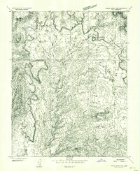
1953 · Circle Cliffs 1 NW
USGS Topo · 1:24,000
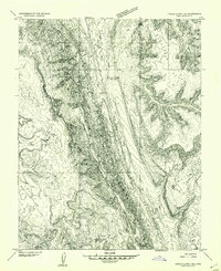
1953 · Circle Cliffs 1 NE
USGS Topo · 1:24,000

1953 · Circle Cliffs 4 NE
USGS Topo · 1:24,000

1953 · Moody Creek
USGS Topo · 1:62,500
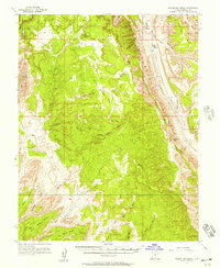
1953 · Wagon Box Mesa
USGS Topo · 1:62,500

1956 · Escalante
USGS Topo · 1:250,000