
1953 Map of Circle Cliffs 1 SE
USGS Topo · Published 1954About this map
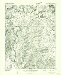
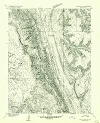
Circle Cliffs dominates this 1953 topographic study of the Utah interior, revealing a landscape defined by sharp drainage patterns and significant elevation changes. The intricate network of Muley Twist Canyon and Hall Creek illustrates the complex erosion of the Colorado Plateau, while Oyster Ridge serves as a prominent vertical marker in the eastern portion of the quadrangle. Geologic formations like Swap Mesa provide a flat-topped contrast to the surrounding dissected terrain. Notable for its lack of human settlement during the early 1950s, the map indicates sparse infrastructure, with The Post being a rare named point of interest. A solitary Dam along Moody Creek suggests small-scale water management in an otherwise arid environment. This preliminary edition, based on 1952 aerial photography, captures the region's physical character before more modern roads and accessibility changed the nature of this backcountry area.
Find a feature on this map
9 named features on this map. Tap any name to fly to it.
Don’t see what you’re looking for? This feature index may not catch every label — zoom into the map to look around manually.
Map Details
Editions of this 1953 Circle Cliffs 1 SE Map
This is the sole edition of this map. No revisions or reprints were ever made.
Other maps of this area

1886 · Escalante
USGS Topo · 1:250,000

1886 · Henry Mountains
USGS Topo · 1:250,000

1892 · Henry Mountains
USGS Topo · 1:250,000

1953 · Mt Pennell
USGS Topo · 1:62,500

1953 · Circle Cliffs 4 NW
USGS Topo · 1:24,000

1953 · Circle Cliffs 1 SW
USGS Topo · 1:24,000

1953 · Mt Pennell 3 NW
USGS Topo · 1:24,000
1953 · Circle Cliffs 1 NW
USGS Topo · 1:24,000
1953 · Circle Cliffs 1 NE
USGS Topo · 1:24,000

1953 · Mt Pennell 2 SW
USGS Topo · 1:24,000