2000s (21st Century) Maps of Alton, Utah
Explore 11 historic maps of Alton from the 2000s (21st Century). These maps offer a rare glimpse into what life looked like during the 2000s — showing old roads, neighborhoods, homes, and landmarks that have changed or disappeared over time.
Whether you're researching your family's past, planning a metal detecting trip, or studying how Alton's landscape evolved across the 2000s, these high-resolution maps are a powerful tool for exploring the history of this region.
- Focus on a specific era: All maps on this page are from the 2000s, giving you a focused view of this time period.
- See what’s changed: Compare century-old streets, trails, and buildings to today's modern landscape using overlays and satellite layers.
- Research with precision: Use these maps for genealogy, historical research, land use analysis, or educational projects.
- View, download, or print: Maps are fully viewable online in high resolution, and can be downloaded or printed for your own records.
Start exploring Alton's history through authentic maps from the 2000s. This is your window into the past.
Alton, UT maps
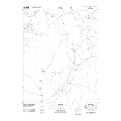
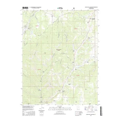
(11)- 2002 Map of Long Valley Junction, 2005 Print
 2002 Long Valley Junction2005 Print · USGSThe high plateau country of Kane County comes into focus at the turn of the millennium, centered on the strategic crossroads of Long Valley Junction. Researchers can trace the headwaters of the East Fork Virgin River and locate remote high-country features like Mc Donald Lake and Gravel Spring.
 - 2011 Map of Long Valley Junction, 2011 Print
 2011 Long Valley Junction2011 Print · USGSCovers Alton, including Glendale, Long Valley Junction, and other nearby areas
 - 2011 Map of Alton, 2011 Print
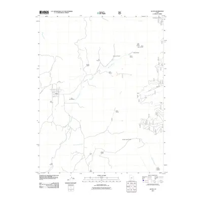 2011 Alton2011 Print · USGSCovers Alton, including Kane County, United States, and other nearby areas
 - 2014 Map of Alton, 2014 Print
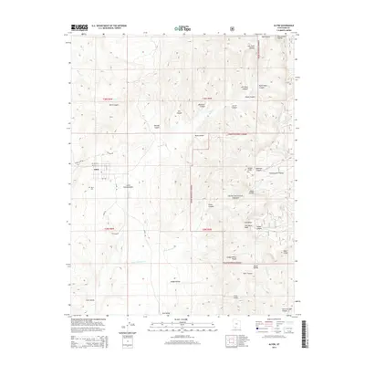 2014 Alton2014 Print · USGSCovers Alton, including Kane County, United States, and other nearby areas
 - 2014 Map of Long Valley Junction, 2014 Print
 2014 Long Valley Junction2014 Print · USGSCovers Alton, including Glendale, Long Valley Junction, and other nearby areas
 - 2017 Map of Long Valley Junction, 2017 Print
 2017 Long Valley Junction2017 Print · USGSCovers Alton, including Glendale, Long Valley Junction, and other nearby areas
 - 2017 Map of Alton, 2017 Print
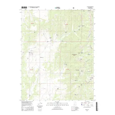 2017 Alton2017 Print · USGSCovers Alton, including Kane County, United States, and other nearby areas
 - 2020 Map of Long Valley Junction, 2020 Print
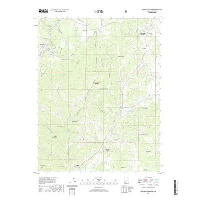 2020 Long Valley Junction2020 Print · USGSCovers Alton, including Glendale, Long Valley Junction, and other nearby areas
 - 2020 Map of Alton, 2020 Print
 2020 Alton2020 Print · USGSCovers Alton, including Kane County, United States, and other nearby areas
 - 2023 Map of Alton, 2023 Print
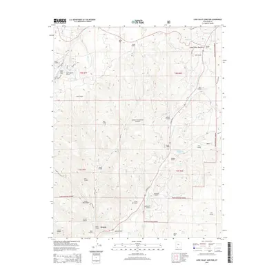
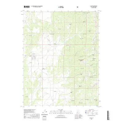
 2023 Alton2023 Print · USGSAlton sits at the base of the Paunsaugunt Plateau in this recent look at Kane County. Researchers can trace family history at Alton Cem or the Roundy / Johnson Cem and explore the rugged geology of the Pink Cliffs and Sunset Cliffs.
 - 2023 Map of Long Valley Junction, 2023 Print
 2023 Long Valley Junction2023 Print · USGSSouthern Utah's high plateau country is mapped here in the early twenty-first century, showcasing the remote headwaters of the East Fork Virgin River. Trace the rural landscape between Long Valley Junction and Alton, featuring named springs like Howdy Spring and the distinctive Pink Cliffs.
End of results
Showing maps 1-11 of 11
Top cities near Alton
Frequently asked questions
- What are the different types of historical maps available for Alton?
- What is the oldest map of Alton?
- Where can I purchase historical maps of Alton for my home or office?
- Where can I download high-res historical maps of Alton?
- Are there historical topographic maps available for Alton?
- Is there historical aerial imagery available for Alton?
- Where are historical maps of Alton sourced from?