2000s (21st Century) Maps of Kanab, Utah
Explore 10 historic maps of Kanab from the 2000s (21st Century). These maps offer a rare glimpse into what life looked like during the 2000s — showing old roads, neighborhoods, homes, and landmarks that have changed or disappeared over time.
Whether you're researching your family's past, planning a metal detecting trip, or studying how Kanab's landscape evolved across the 2000s, these high-resolution maps are a powerful tool for exploring the history of this region.
- Focus on a specific era: All maps on this page are from the 2000s, giving you a focused view of this time period.
- See what’s changed: Compare century-old streets, trails, and buildings to today's modern landscape using overlays and satellite layers.
- Research with precision: Use these maps for genealogy, historical research, land use analysis, or educational projects.
- View, download, or print: Maps are fully viewable online in high resolution, and can be downloaded or printed for your own records.
Start exploring Kanab's history through authentic maps from the 2000s. This is your window into the past.
Kanab, UT maps
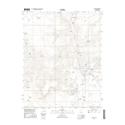
(10)- 2011 Map of Kanab, 2011 Print
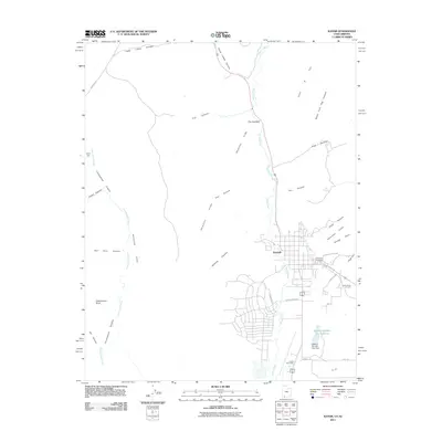 2011 Kanab2011 Print · USGSCovers Kanab, including Kaibab, Fredonia, and other nearby areas
 - 2011 Map of Thompson Point, 2011 Print
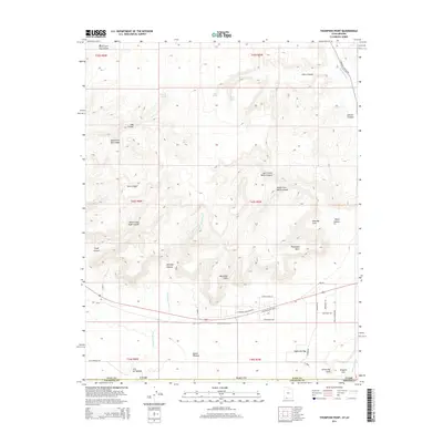
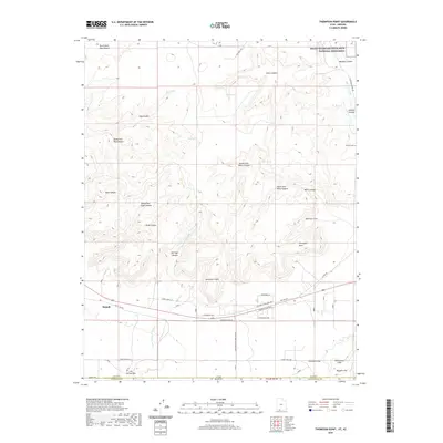
 2011 Thompson Point2011 Print · USGSCovers Kanab, including Coconino County, Kane County, and other nearby areas
 - 2014 Map of Thompson Point, 2014 Print
 2014 Thompson Point2014 Print · USGSCovers Kanab, including Coconino County, Kane County, and other nearby areas
 - 2014 Map of Kanab, 2014 Print
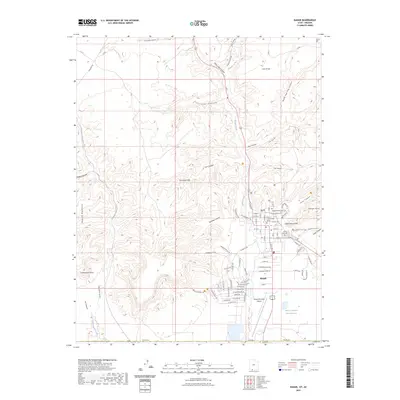
 2014 Kanab2014 Print · USGSCovers Kanab, including Kaibab, Fredonia, and other nearby areas
 - 2017 Map of Thompson Point, 2017 Print
 2017 Thompson Point2017 Print · USGSCovers Kanab, including Coconino County, Kane County, and other nearby areas
 - 2017 Map of Kanab, 2017 Print
 2017 Kanab2017 Print · USGSCovers Kanab, including Kaibab, Fredonia, and other nearby areas
 - 2020 Map of Kanab, 2020 Print
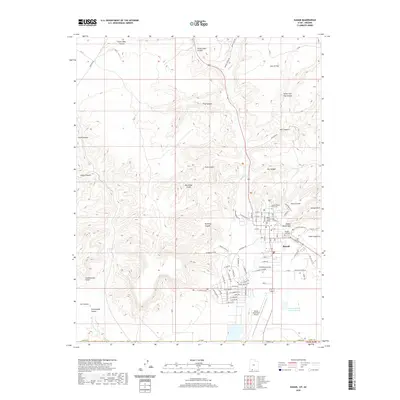 2020 Kanab2020 Print · USGSCovers Kanab, including Kaibab, Fredonia, and other nearby areas
 - 2020 Map of Thompson Point, 2020 Print
 2020 Thompson Point2020 Print · USGSCovers Kanab, including Coconino County, Kane County, and other nearby areas
 - 2023 Map of Kanab, 2023 Print
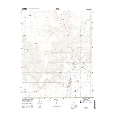
 2023 Kanab2023 Print · USGSSouthern Utah's canyon country is documented here in the early twenty-first century, centered on the settlement of Kanab. Genealogists and historians can trace local landmarks like the Kane County Court House, Kanab City Cem, and the Indian Dance Hall.
 - 2023 Map of Thompson Point, 2023 Print
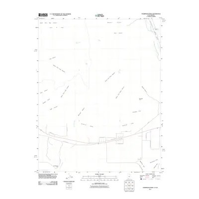
 2023 Thompson Point2023 Print · USGSSouthern Utah's dramatic desert terrain is captured here in the contemporary era as the city of Kanab meets the towering Vermilion Cliffs. Genealogists and historians can trace the early pioneers through the Johnson Cem and explore named landmarks like Eightmile Gap and Muggins Flat.
End of results
Showing maps 1-10 of 10
Top cities near Kanab
Top neighborhoods of Kanab
Frequently asked questions
- What are the different types of historical maps available for Kanab?
- What is the oldest map of Kanab?
- Where can I purchase historical maps of Kanab for my home or office?
- Where can I download high-res historical maps of Kanab?
- Are there historical topographic maps available for Kanab?
- Is there historical aerial imagery available for Kanab?
- Where are historical maps of Kanab sourced from?