2000s (21st Century) Maps of Old La Sal, Utah
Explore 6 historic maps of Old La Sal from the 2000s (21st Century). These maps offer a rare glimpse into what life looked like during the 2000s — showing old roads, neighborhoods, homes, and landmarks that have changed or disappeared over time.
Whether you're researching your family's past, planning a metal detecting trip, or studying how Old La Sal's landscape evolved across the 2000s, these high-resolution maps are a powerful tool for exploring the history of this region.
- Focus on a specific era: All maps on this page are from the 2000s, giving you a focused view of this time period.
- See what’s changed: Compare century-old streets, trails, and buildings to today's modern landscape using overlays and satellite layers.
- Research with precision: Use these maps for genealogy, historical research, land use analysis, or educational projects.
- View, download, or print: Maps are fully viewable online in high resolution, and can be downloaded or printed for your own records.
Start exploring Old La Sal's history through authentic maps from the 2000s. This is your window into the past.
Old La Sal, UT maps
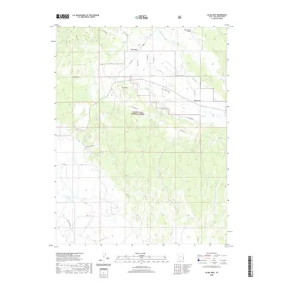
(6)- 2001 Map of La Sal East, 2004 Print
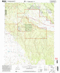 2001 La Sal East2004 Print · USGSSan Juan County's high-country ranching and mining roots are visible in this late-century survey of the La Sal Mountains. Genealogists and historians can trace the shift from Old La Sal to the newer settlement of La Sal, while locating historic operations like the Snowball Mine and Pandora Mine.
 - 2011 Map of La Sal East, 2011 Print
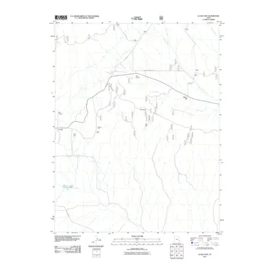 2011 La Sal East2011 Print · USGSCovers Old La Sal, including La Sal, San Juan County, and other nearby areas
 - 2014 Map of La Sal East, 2014 Print
 2014 La Sal East2014 Print · USGSCovers Old La Sal, including La Sal, San Juan County, and other nearby areas
 - 2017 Map of La Sal East, 2017 Print
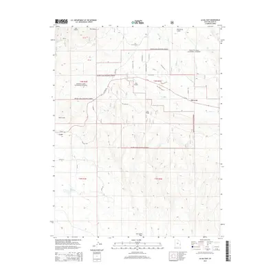
 2017 La Sal East2017 Print · USGSCovers Old La Sal, including La Sal, San Juan County, and other nearby areas
 - 2020 Map of La Sal East, 2020 Print
 2020 La Sal East2020 Print · USGSCovers Old La Sal, including La Sal, San Juan County, and other nearby areas
 - 2023 Map of La Sal East, 2023 Print
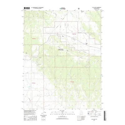
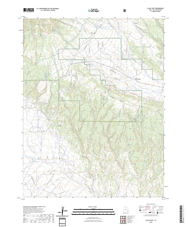 2023 La Sal East2023 Print · USGSSoutheast Utah’s high-country terrain is captured here recently, showing the evolution of the Manti-La Sal National Forest and its surrounding communities. You can trace the shift from the original site at Old La Sal to the current La Sal settlement, while locating remote landmarks like the La Sal Guard and Wilcox Reservoir.
End of results
Showing maps 1-6 of 6
Frequently asked questions
- What are the different types of historical maps available for Old La Sal?
- What is the oldest map of Old La Sal?
- Where can I purchase historical maps of Old La Sal for my home or office?
- Where can I download high-res historical maps of Old La Sal?
- Are there historical topographic maps available for Old La Sal?
- Is there historical aerial imagery available for Old La Sal?
- Where are historical maps of Old La Sal sourced from?