Old Maps of Beaver Dams Summer Homes Area, Utah for Hiking & Exploration
Hike through history with 13 historic maps of Beaver Dams Summer Homes Area. Explore old trails, ghost towns, and forgotten backroads — perfect for outdoor adventurers and local explorers.
- Rediscover forgotten places: Map out old mining camps, roads, and footpaths that no longer exist on modern maps.
- Layer with modern tools: Combine with LiDAR or satellite views to plan hikes through historical terrain.
- Made for exploration: Popular among hikers, overlanders, and local history lovers.
Use these maps to find adventure and explore the hidden past of Beaver Dams Summer Homes Area.
Beaver Dams Summer Homes Area, UT maps
(13)- 1885 Map of Manti
 1885 Manti1885 Print · USGSCentral Utah during the mid-1880s reveals a growing network of agricultural towns and vital rail lines through the high desert. Researchers can trace early family settlements along the San Pete River and locate historic depots like Pleasant Valley Junction or the early township of Nephi.4 unique versions available
 - 1895 Map of Manti, 1921 Print
 1895 Manti1921 Print · USGSSanpete County and the high plateaus of central Utah are captured in the late nineteenth century as irrigation and railroads transformed the valley floor. Genealogists and historians can trace the early layout of Manti, Ephraim, and Nephi, alongside smaller outposts like Fountain Green and Mayfield.
 - 1956 Map of Price, 1968 Print
 1956 Price1968 Print · USGSCentral Utah in the mid-fifties showcases a landscape shaped by coal mining and mountain-fed irrigation. Trace the rail-and-river economy through the Geneva Coal Mine, the Union Pacific line, and settlements like Price and Ephraim.3 unique versions available
 - 1960 Map of Price
 1960 Price1960 Print · USGSCentral Utah in the late fifties was a landscape of coal-hauling railroads and high plateau settlements. Genealogists and local historians can trace the rail-to-river economy from Price to the mountain mining camps of Hiawatha, Dragerton, and Sunnyside.2 unique versions available
 - 1962 Map of Price
 1962 Price1962 Print · USGSCentral Utah during the early sixties shows a landscape balancing high-mountain forestry with valley agriculture and coal mining. Genealogists and historians can trace the Denver and Rio Grande Western rail lines through industrial hubs like Price or locate formerly active sites like Coal City (abandoned).
 - 1965 Map of Fairview Lakes, 1968 Print
 1965 Fairview Lakes1968 Print · USGSSanpete County high country is documented here in the mid-sixties, showing the high-elevation water systems and forest infrastructure. Researchers can locate remote sites like the Mammoth Ranger Sta, Narrows Tunnel, and the engineering at Fairview Lakes.2 unique versions available
 - 1981 Map of Nephi
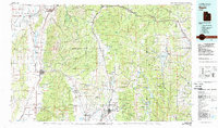 1981 Nephi1981 Print · USGSThe Juab and Sanpete valleys of central Utah are captured here in the early 1980s, during a period of established mountain settlement and rail-based commerce. Researchers can trace the routes of the Union Pacific and visit traditional communities like Nephi, Mount Pleasant, and Scofield.3 unique versions available
 - 2001 Map of Fairview Lakes, 2004 Print
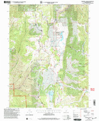 2001 Fairview Lakes2004 Print · USGSHigh in the Sanpete mountains during the early 2000s, this forest survey captures the vital water infrastructure and trail networks of the Wasatch Plateau. Researchers can trace the path of Skyline Drive past Fairview Lakes and locate the historic Mammoth settlement site.
 - 2011 Map of Fairview Lakes, 2011 Print
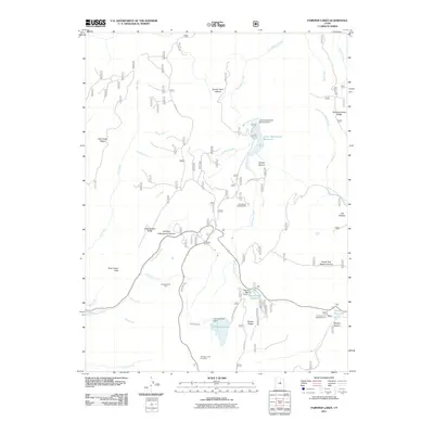 2011 Fairview Lakes2011 Print · USGSSanpete County's high-country reservoirs and recreation areas are captured here during the first decade of the 2000s. Researchers can locate specific infrastructure like the Narrows Tunnel and high-altitude sites such as the Snowland Ski Area or Gooseberry Campground.
 - 2014 Map of Fairview Lakes, 2014 Print
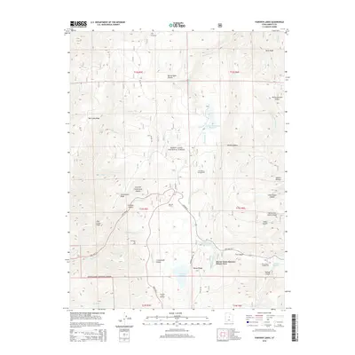 2014 Fairview Lakes2014 Print · USGSSanpete County's high-plateau country is documented here in the mid-2010s, showcasing the high-altitude water systems and summer retreats of the Wasatch. Researchers can locate the Beaver Dams Summer Homes Area and trace historic infrastructure like the Narrows Tunnel and the Snowland Ski Area.
 - 2017 Map of Fairview Lakes, 2017 Print
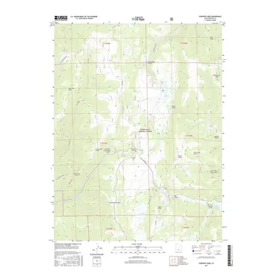 2017 Fairview Lakes2017 Print · USGSHigh on the Wasatch Plateau in the 2010s, this area showcases the essential water infrastructure and mountain corridors of Sanpete County. Researchers can trace the paths of Skyline Dr past Fairview Lakes, Beaver Dam Reservoir, and the Narrows Tunnel.
 - 2020 Map of Fairview Lakes, 2020 Print
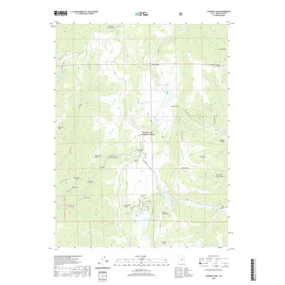 2020 Fairview Lakes2020 Print · USGSThe high Wasatch Plateau comes into focus in this recent survey, showcasing the alpine reservoirs and forest roads of Sanpete County. You can trace the path of Skyline Dr across the ridges or locate specific landmarks like the Narrows Tunnel and Fairview Lakes.
 - 2023 Map of Fairview Lakes, 2023 Print
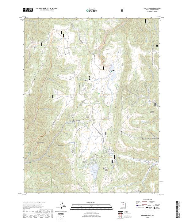 2023 Fairview Lakes2023 Print · USGSThe high peaks of the Utah Wasatch Plateau are captured here in the early twenty-first century as a landscape of reservoirs and forest trails. Researchers can trace high-altitude water systems at Fairview Lakes or navigate the ridgelines of Cottonwood Ridge and Bean Ridge.
End of results
Showing maps 1-13 of 13
Top cities near Beaver Dams Summer Homes Area
- Mount Pleasant historical maps
- Fairview historical maps
- Spring City historical maps
- Scofield historical maps
Frequently asked questions
- What are the different types of historical maps available for Beaver Dams Summer Homes Area?
- What is the oldest map of Beaver Dams Summer Homes Area?
- Where can I purchase historical maps of Beaver Dams Summer Homes Area for my home or office?
- Where can I download high-res historical maps of Beaver Dams Summer Homes Area?
- Are there historical topographic maps available for Beaver Dams Summer Homes Area?
- Is there historical aerial imagery available for Beaver Dams Summer Homes Area?
- Where are historical maps of Beaver Dams Summer Homes Area sourced from?