2000s (21st Century) Maps of Mayfield, Utah
Explore 12 historic maps of Mayfield from the 2000s (21st Century). These maps offer a rare glimpse into what life looked like during the 2000s — showing old roads, neighborhoods, homes, and landmarks that have changed or disappeared over time.
Whether you're researching your family's past, planning a metal detecting trip, or studying how Mayfield's landscape evolved across the 2000s, these high-resolution maps are a powerful tool for exploring the history of this region.
- Focus on a specific era: All maps on this page are from the 2000s, giving you a focused view of this time period.
- See what’s changed: Compare century-old streets, trails, and buildings to today's modern landscape using overlays and satellite layers.
- Research with precision: Use these maps for genealogy, historical research, land use analysis, or educational projects.
- View, download, or print: Maps are fully viewable online in high resolution, and can be downloaded or printed for your own records.
Start exploring Mayfield's history through authentic maps from the 2000s. This is your window into the past.
Mayfield, UT maps
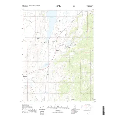
(12)- 2001 Map of Sterling, 2004 Print
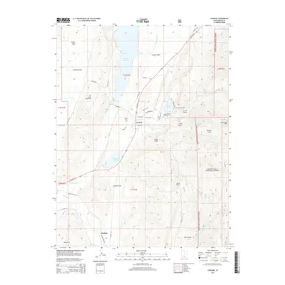
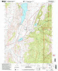 2001 Sterling2004 Print · USGSSanpete County at the turn of the century shows a landscape of mountain-fed reservoirs and deep canyons. Genealogists and historians can trace the irrigation network from Gunnison Reservoir to Sterling, or locate the Morrison Mine and local cemetery.
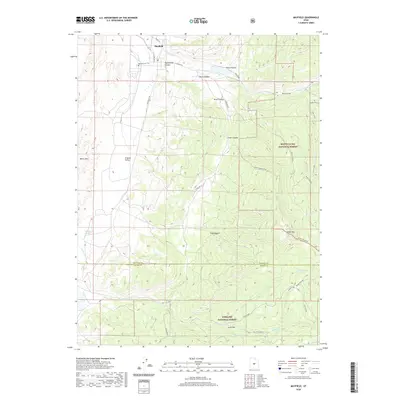
 - 2001 Map of Mayfield, 2004 Print
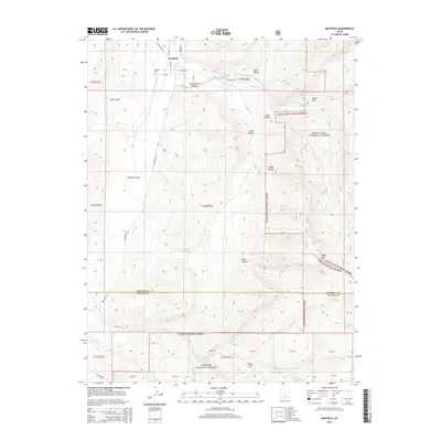
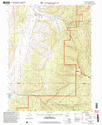 2001 Mayfield2004 Print · USGSMayfield sat at the edge of the central Utah wilderness at the turn of the millennium, where valley farming met the high national forests. Researchers can locate the Mayfield Cem, trace the route of the South Canal, and find remote landmarks like Jacks Flat.
 - 2011 Map of Sterling, 2011 Print
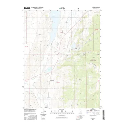
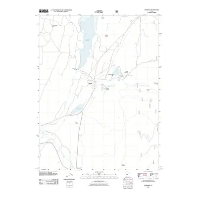 2011 Sterling2011 Print · USGSCovers Mayfield, including Manti, Sterling, and other nearby areas
 - 2011 Map of Mayfield, 2011 Print
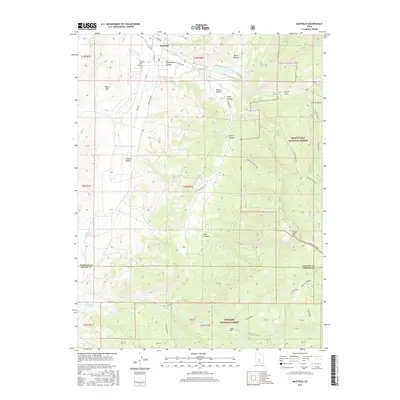
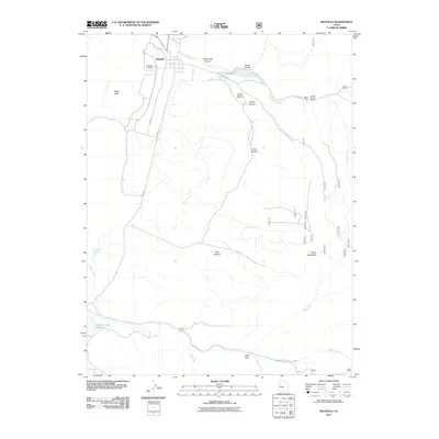 2011 Mayfield2011 Print · USGSCovers Mayfield, including Sanpete County, Sevier County, and other nearby areas
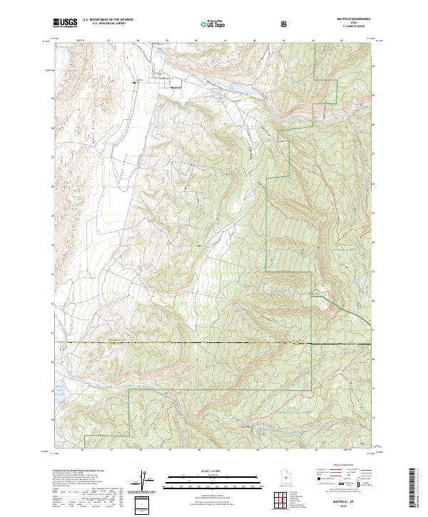
 - 2014 Map of Mayfield, 2014 Print
 2014 Mayfield2014 Print · USGSCovers Mayfield, including Sanpete County, Sevier County, and other nearby areas
 - 2014 Map of Sterling, 2014 Print
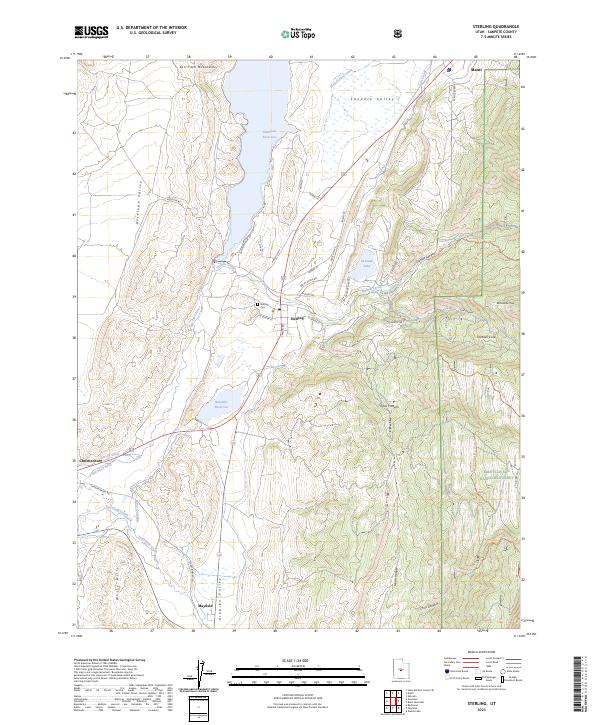
 2014 Sterling2014 Print · USGSCovers Mayfield, including Manti, Sterling, and other nearby areas
 - 2017 Map of Mayfield, 2017 Print
 2017 Mayfield2017 Print · USGSCovers Mayfield, including Sanpete County, Sevier County, and other nearby areas
 - 2017 Map of Sterling, 2017 Print
 2017 Sterling2017 Print · USGSCovers Mayfield, including Manti, Sterling, and other nearby areas
 - 2020 Map of Sterling, 2020 Print
 2020 Sterling2020 Print · USGSCovers Mayfield, including Manti, Sterling, and other nearby areas
 - 2020 Map of Mayfield, 2020 Print
 2020 Mayfield2020 Print · USGSCovers Mayfield, including Sanpete County, Sevier County, and other nearby areas
 - 2023 Map of Mayfield, 2023 Print
 2023 Mayfield2023 Print · USGSMayfield and the Arapien Valley are documented here in 2023, capturing the gateway to the high canyons of central Utah. Genealogists and hikers can trace sites like the Mayfield Cem or the trails through Manti-La Sal National Forest and Fishlake National Forest.
 - 2023 Map of Sterling, 2023 Print
 2023 Sterling2023 Print · USGSThe Sanpete Valley at the southern edge of Manti is mapped here as a network of historic canals and mountain canyons. You can trace early water systems like Larson Ditch and Lake Canal, or locate family sites near Sterling Cem and the settlement of Mayfield.
End of results
Showing maps 1-12 of 12
Top cities near Mayfield
- Ephraim historical maps
- Manti historical maps
- Gunnison historical maps
- Salina historical maps
- Centerfield historical maps
- Aurora historical maps
See more
Frequently asked questions
- What are the different types of historical maps available for Mayfield?
- What is the oldest map of Mayfield?
- Where can I purchase historical maps of Mayfield for my home or office?
- Where can I download high-res historical maps of Mayfield?
- Are there historical topographic maps available for Mayfield?
- Is there historical aerial imagery available for Mayfield?
- Where are historical maps of Mayfield sourced from?