2000s (21st Century) Maps of Oakley, Utah
Explore 15 historic maps of Oakley from the 2000s (21st Century). These maps offer a rare glimpse into what life looked like during the 2000s — showing old roads, neighborhoods, homes, and landmarks that have changed or disappeared over time.
Whether you're researching your family's past, planning a metal detecting trip, or studying how Oakley's landscape evolved across the 2000s, these high-resolution maps are a powerful tool for exploring the history of this region.
- Focus on a specific era: All maps on this page are from the 2000s, giving you a focused view of this time period.
- See what’s changed: Compare century-old streets, trails, and buildings to today's modern landscape using overlays and satellite layers.
- Research with precision: Use these maps for genealogy, historical research, land use analysis, or educational projects.
- View, download, or print: Maps are fully viewable online in high resolution, and can be downloaded or printed for your own records.
Start exploring Oakley's history through authentic maps from the 2000s. This is your window into the past.
Oakley, UT maps
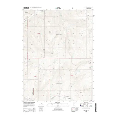
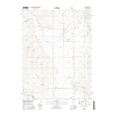
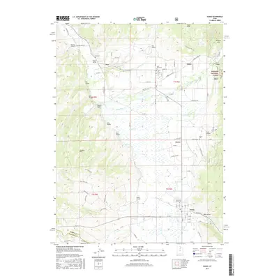
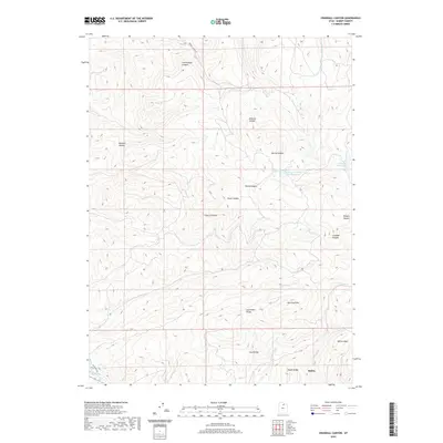
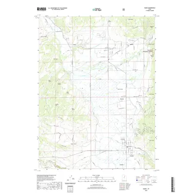
(15)- 2011 Map of Kamas, 2011 Print
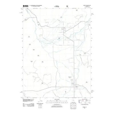 2011 Kamas2011 Print · USGSCovers Oakley, including Kamas, Francis, and other nearby areas
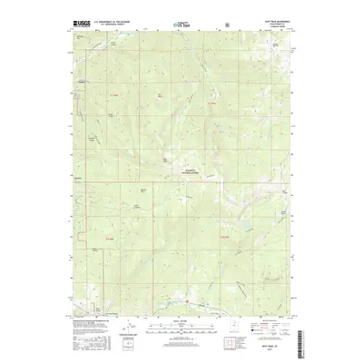
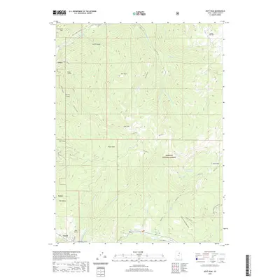
 - 2011 Map of Hoyt Peak, 2011 Print
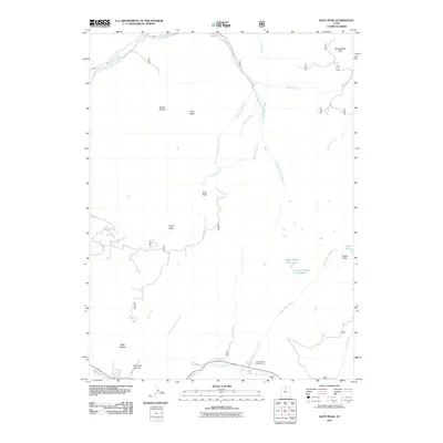 2011 Hoyt Peak2011 Print · USGSCovers Oakley, including Kamas, Summit County, and other nearby areas
 - 2011 Map of Crandall Canyon, 2011 Print
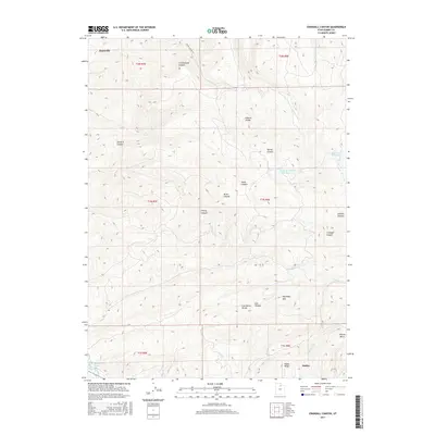
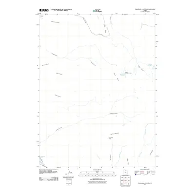 2011 Crandall Canyon2011 Print · USGSCovers Oakley, including Summit County, United States, and other nearby areas
 - 2014 Map of Crandall Canyon, 2014 Print
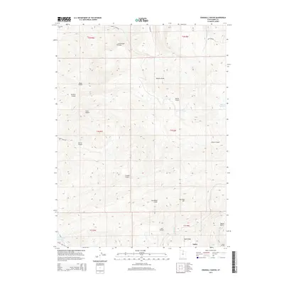 2014 Crandall Canyon2014 Print · USGSCovers Oakley, including Summit County, United States, and other nearby areas
 - 2014 Map of Hoyt Peak, 2014 Print
 2014 Hoyt Peak2014 Print · USGSCovers Oakley, including Kamas, Summit County, and other nearby areas
 - 2014 Map of Kamas, 2014 Print
 2014 Kamas2014 Print · USGSCovers Oakley, including Kamas, Francis, and other nearby areas
 - 2017 Map of Crandall Canyon, 2017 Print
 2017 Crandall Canyon2017 Print · USGSCovers Oakley, including Summit County, United States, and other nearby areas
 - 2017 Map of Kamas, 2017 Print
 2017 Kamas2017 Print · USGSCovers Oakley, including Kamas, Francis, and other nearby areas
 - 2017 Map of Hoyt Peak, 2017 Print
 2017 Hoyt Peak2017 Print · USGSCovers Oakley, including Kamas, Summit County, and other nearby areas
 - 2020 Map of Crandall Canyon, 2020 Print
 2020 Crandall Canyon2020 Print · USGSCovers Oakley, including Summit County, United States, and other nearby areas
 - 2020 Map of Kamas, 2020 Print
 2020 Kamas2020 Print · USGSCovers Oakley, including Kamas, Francis, and other nearby areas
 - 2020 Map of Hoyt Peak, 2020 Print
 2020 Hoyt Peak2020 Print · USGSCovers Oakley, including Kamas, Summit County, and other nearby areas
 - 2023 Map of Crandall Canyon, 2023 Print
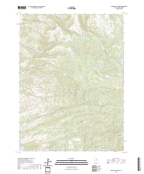 2023 Crandall Canyon2023 Print · USGSSummit County's high-elevation ranching and canyon country is captured here in the contemporary era. Researchers can trace the rugged topography of Big Piney Mtn and the historic settlement patterns around Hoytsville, Peoa, and Oakley.
 - 2023 Map of Hoyt Peak, 2023 Print
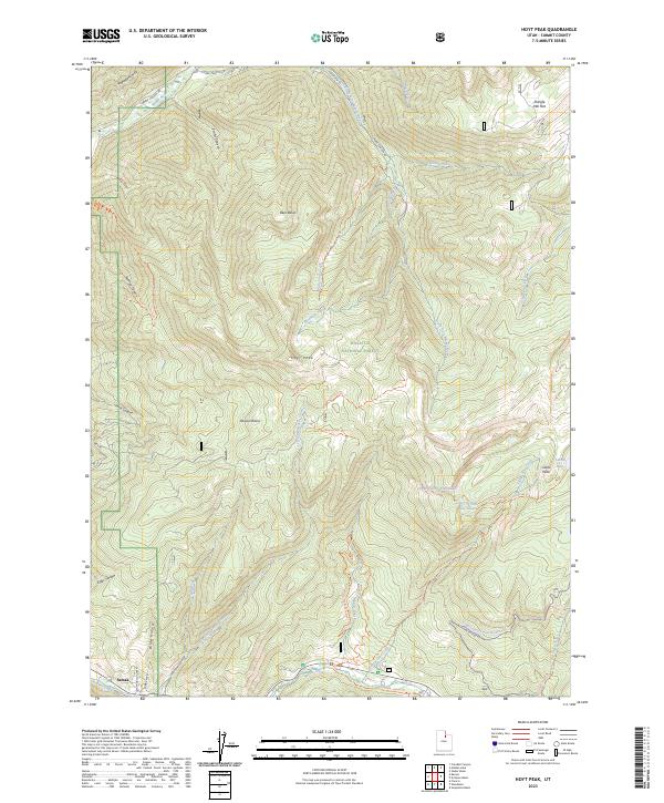 2023 Hoyt Peak2023 Print · USGSSummit County high country is documented here in recent years, centered on the elevations of the Wasatch National Forest. Researchers can trace old mountain routes and backcountry water sources, from the settlement at Samak to high-altitude sites like Castle Lake and Shingle Mill Flat.
 - 2023 Map of Kamas, 2023 Print
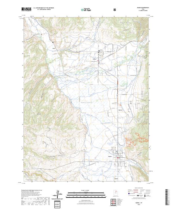 2023 Kamas2023 Print · USGSKamas Valley and its surrounding hills are captured in this modern survey of eastern Utah's ranching and river lands. Genealogists can trace family footprints across several sites like Peoa Cem, Kamas Bible Church, and the town of Oakley.
End of results
Showing maps 1-15 of 15
Top cities near Oakley
- Heber City historical maps
- Park City historical maps
- Midway historical maps
- Kamas historical maps
- Coalville historical maps
- Francis historical maps
Frequently asked questions
- What are the different types of historical maps available for Oakley?
- What is the oldest map of Oakley?
- Where can I purchase historical maps of Oakley for my home or office?
- Where can I download high-res historical maps of Oakley?
- Are there historical topographic maps available for Oakley?
- Is there historical aerial imagery available for Oakley?
- Where are historical maps of Oakley sourced from?