Old Maps of Oakley, Utah for Hiking & Exploration
Hike through history with 28 historic maps of Oakley. Explore old trails, ghost towns, and forgotten backroads — perfect for outdoor adventurers and local explorers.
- Rediscover forgotten places: Map out old mining camps, roads, and footpaths that no longer exist on modern maps.
- Layer with modern tools: Combine with LiDAR or satellite views to plan hikes through historical terrain.
- Made for exploration: Popular among hikers, overlanders, and local history lovers.
Use these maps to find adventure and explore the hidden past of Oakley.
Oakley, UT maps
(28)- 1885 Map of Salt Lake
 1885 Salt Lake1885 Print · USGSThe Wasatch Front and surrounding high valleys appear here in the mid-1880s during a period of rapid mining and rail expansion. Genealogists and historians can trace early town sites and mining camps including Alta, Silver City, and the military grounds of Fort Douglass.7 unique versions available
 - 1900 Map of Coalville, 1955 Print
 1900 Coalville1955 Print · USGSThe high valleys of Summit and Wasatch counties are captured at the turn of the century as the silver and coal industries flourished. Researchers can trace early settlements like Rockport and Hailstone or locate the industrial Ontario Drain Tunnel near Park City.2 unique versions available
 - 1903 Map of Coalville, 1921 Print
 1903 Coalville1921 Print · USGSUpper Utah at the turn of the century reveals a landscape defined by mining corridors and valley settlements. Genealogists and historians can trace the early path of the Union Pacific R. R. through Coalville or locate family-named sites like Rigby's Ranch and the Ontario Drain Tunnel.2 unique versions available
 - 1954 Map of Salt Lake City, 1964 Print
 1954 Salt Lake City1964 Print · USGSThe Wasatch Front and Uinta Mountains are captured here in the mid-fifties, showing the industrial heart of Utah and its high mountain wilderness. Researchers can locate vanished infrastructure and landmarks like the Geneva Steel Plant, Bingham Canyon Mine, and the Utah State Prison.4 unique versions available
 - 1958 Map of Salt Lake City
 1958 Salt Lake City1958 Print · USGSThe Wasatch Front and Uinta Basin are captured during a period of significant post-war growth and industrial development. Researchers can trace the mid-century rail lines of the Bamberger RR and locate sites like the Kiegley Limestone Quarry and Camp Williams Military Reservation.
 - 1960 Map of Salt Lake City
 1960 Salt Lake City1960 Print · USGSThe Wasatch Front and High Uintas are captured mid-century as the Salt Lake Valley underwent significant postwar expansion. Genealogists and historians can trace rail lines like the Union Pacific and locate established landmarks such as Fort Douglas, Camp Williams, and the Bingham Canyon Mine.
 - 1967 Map of Kamas, 1969 Print
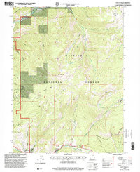
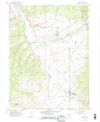 1967 Kamas1969 Print · USGSThe rural communities of Rhodes Valley are captured in the late sixties, a period of established cattle ranching and high-mountain agriculture. Genealogists can locate family sites and local burials at Peoa Cem, Oakley Cem, and Marion Cem.2 unique versions available
 - 1967 Map of Crandall Canyon, 1969 Print
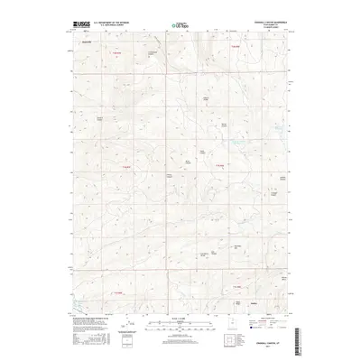
 1967 Crandall Canyon1969 Print · USGSSummit County's high ridges and canyons are captured in the late sixties, just as the Weber River valley was being transformed by water management. You can trace early land use through high-elevation corrals, the Cem near Cottonwood Canyon, and the original footprint of Rockport State Park.2 unique versions available
 - 1972 Map of Hoyt Peak, 1974 Print
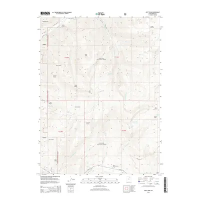
 1972 Hoyt Peak1974 Print · USGSThe high Wasatch backcountry in the early seventies shows a wilderness of alpine lakes and timber flats before modern development. Genealogists and hikers can trace old routes like the Pack Trail or locate landmarks such as Samak and Shingle Mill Flat.3 unique versions available
 - 1980 Map of Salt Lake City
 1980 Salt Lake City1980 Print · USGSSalt Lake City and the surrounding Wasatch Range are shown in the early eighties during a period of rapid suburban growth. Genealogists and historians can trace old mining operations like the Ontario Mine and Wasatch Mine or follow the path of the Union Pacific through the canyons.3 unique versions available
 - 1997 Map of Crandall Canyon, 2001 Print
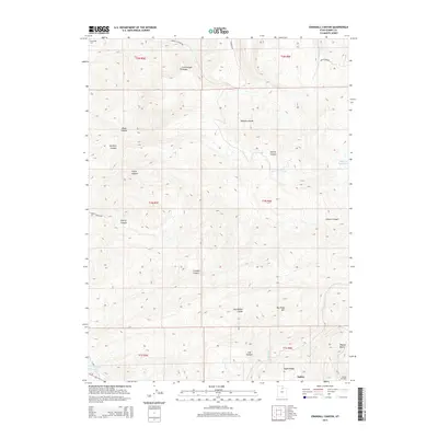
 1997 Crandall Canyon2001 Print · USGSThe high country of Summit County comes into focus in the late nineties, centered on the complex drainage of the Elkhorn Divide. Outdoor historians and researchers can trace the shoreline of Rockport Lake and find remote corrals tucked into Cherry Canyon and Hixon Canyon.
 - 1998 Map of Kamas, 2001 Print
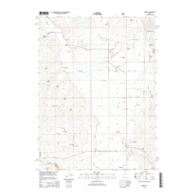
 1998 Kamas2001 Print · USGSKamas Valley was a bustling hub of agriculture and water management in the late nineties, positioned right against the national forest. Genealogists can locate family names at Oakley Cem or Stevens Cem, while others can trace the Provo River Diversion Canal and the grounds of the South Summit High Sch.
 - 1998 Map of Hoyt Peak, 2001 Print
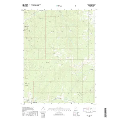
 1998 Hoyt Peak2001 Print · USGSHigh-country Utah at the end of the century is defined here by the timbered drainages and alpine basins surrounding Hoyt Peak. Trace the mountain roads to the Samak settlement, Shingle Mill Flat, or the shores of Upper Yellow Pine Lake.
 - 2011 Map of Kamas, 2011 Print
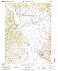
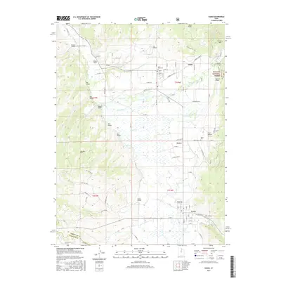
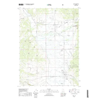
 2011 Kamas2011 Print · USGSCovers Oakley, including Kamas, Francis, and other nearby areas
 - 2011 Map of Hoyt Peak, 2011 Print
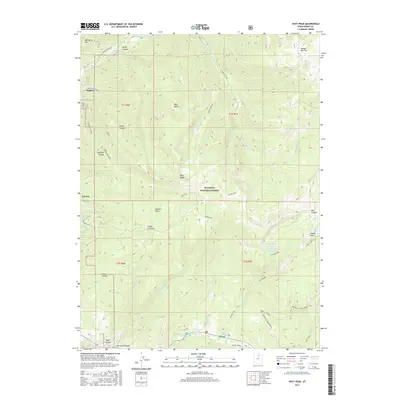
 2011 Hoyt Peak2011 Print · USGSCovers Oakley, including Kamas, Summit County, and other nearby areas
 - 2011 Map of Crandall Canyon, 2011 Print
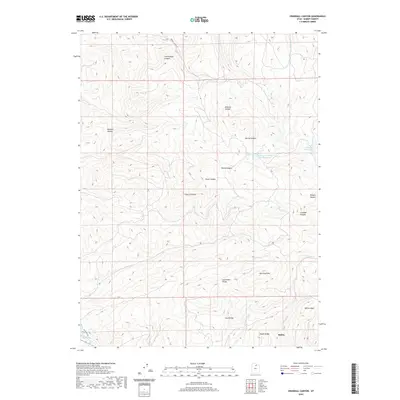
 2011 Crandall Canyon2011 Print · USGSCovers Oakley, including Summit County, United States, and other nearby areas
 - 2014 Map of Crandall Canyon, 2014 Print
 2014 Crandall Canyon2014 Print · USGSCovers Oakley, including Summit County, United States, and other nearby areas
 - 2014 Map of Hoyt Peak, 2014 Print
 2014 Hoyt Peak2014 Print · USGSCovers Oakley, including Kamas, Summit County, and other nearby areas
 - 2014 Map of Kamas, 2014 Print
 2014 Kamas2014 Print · USGSCovers Oakley, including Kamas, Francis, and other nearby areas
 - 2017 Map of Crandall Canyon, 2017 Print
 2017 Crandall Canyon2017 Print · USGSCovers Oakley, including Summit County, United States, and other nearby areas
 - 2017 Map of Kamas, 2017 Print
 2017 Kamas2017 Print · USGSCovers Oakley, including Kamas, Francis, and other nearby areas
 - 2017 Map of Hoyt Peak, 2017 Print
 2017 Hoyt Peak2017 Print · USGSCovers Oakley, including Kamas, Summit County, and other nearby areas
 - 2020 Map of Crandall Canyon, 2020 Print
 2020 Crandall Canyon2020 Print · USGSCovers Oakley, including Summit County, United States, and other nearby areas
 - 2020 Map of Kamas, 2020 Print
 2020 Kamas2020 Print · USGSCovers Oakley, including Kamas, Francis, and other nearby areas
 - 2020 Map of Hoyt Peak, 2020 Print
 2020 Hoyt Peak2020 Print · USGSCovers Oakley, including Kamas, Summit County, and other nearby areas
Showing maps 1-25 of 28
Top cities near Oakley
- Heber City historical maps
- Park City historical maps
- Midway historical maps
- Kamas historical maps
- Coalville historical maps
- Francis historical maps
Frequently asked questions
- What are the different types of historical maps available for Oakley?
- What is the oldest map of Oakley?
- Where can I purchase historical maps of Oakley for my home or office?
- Where can I download high-res historical maps of Oakley?
- Are there historical topographic maps available for Oakley?
- Is there historical aerial imagery available for Oakley?
- Where are historical maps of Oakley sourced from?