2000s (21st Century) Maps of Tad Park, Tooele
Explore 5 historic maps of Tad Park from the 2000s (21st Century). These maps offer a rare glimpse into what life looked like during the 2000s — showing old roads, neighborhoods, homes, and landmarks that have changed or disappeared over time.
Whether you're researching your family's past, planning a metal detecting trip, or studying how Tad Park's landscape evolved across the 2000s, these high-resolution maps are a powerful tool for exploring the history of this region.
- Focus on a specific era: All maps on this page are from the 2000s, giving you a focused view of this time period.
- See what’s changed: Compare century-old streets, trails, and buildings to today's modern landscape using overlays and satellite layers.
- Research with precision: Use these maps for genealogy, historical research, land use analysis, or educational projects.
- View, download, or print: Maps are fully viewable online in high resolution, and can be downloaded or printed for your own records.
Start exploring Tad Park's history through authentic maps from the 2000s. This is your window into the past.
Tad Park, Tooele maps
(5)- 2011 Map of Stockton, 2011 Print
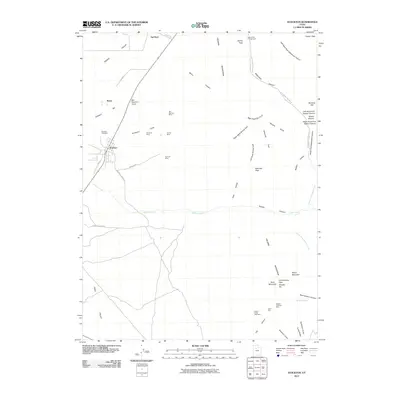 2011 Stockton2011 Print · USGSCovers Tad Park, including Tooele, Stockton, and other nearby areas
 - 2014 Map of Stockton, 2014 Print
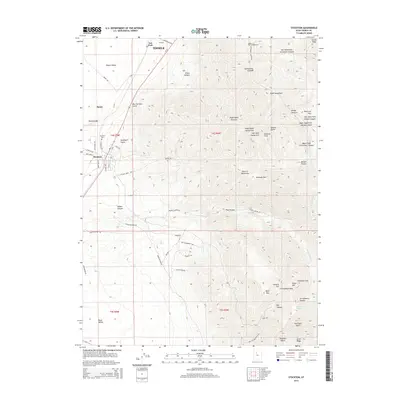 2014 Stockton2014 Print · USGSCovers Tad Park, including Tooele, Stockton, and other nearby areas
 - 2017 Map of Stockton, 2017 Print
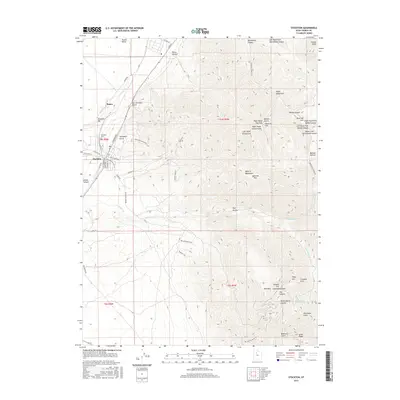 2017 Stockton2017 Print · USGSCovers Tad Park, including Tooele, Stockton, and other nearby areas
 - 2020 Map of Stockton, 2020 Print
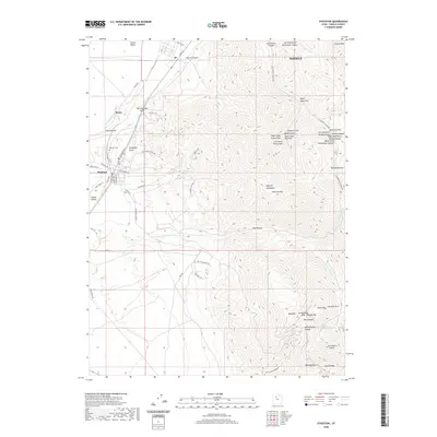 2020 Stockton2020 Print · USGSCovers Tad Park, including Tooele, Stockton, and other nearby areas
 - 2023 Map of Stockton, 2023 Print
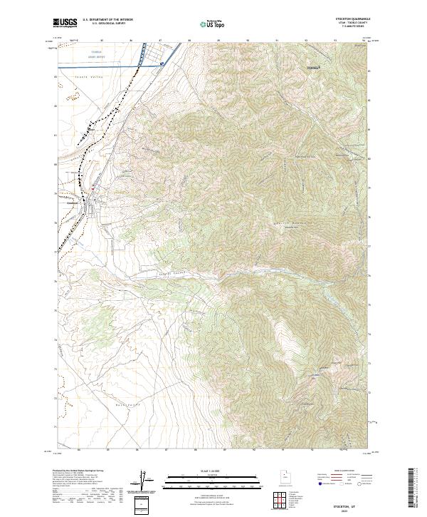 2023 Stockton2023 Print · USGSTooele County’s mining and military history comes into focus in this contemporary survey of the high-desert transition between two valleys. Researchers can trace the industrial legacy of Bauer and the Stockton Gem mine or explore the complex terrain of the Oquirrh Mountains near Soldier Canyon.
End of results
Showing maps 1-5 of 5
Top cities near Tad Park
- Eagle Mountain historical maps
- Tooele historical maps
- Magna historical maps
- Grantsville historical maps
- Stansbury Park historical maps
- Erda historical maps
See more
Frequently asked questions
- What are the different types of historical maps available for Tad Park?
- What is the oldest map of Tad Park?
- Where can I purchase historical maps of Tad Park for my home or office?
- Where can I download high-res historical maps of Tad Park?
- Are there historical topographic maps available for Tad Park?
- Is there historical aerial imagery available for Tad Park?
- Where are historical maps of Tad Park sourced from?