Loading...
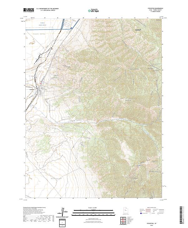
Loading map...2023 Map of Stockton
USGS Topo · Published 2023About this map
Tooele Army Depot occupies the northern reaches of this landscape, marking a significant military footprint where the Tooele Valley transitions into the steep western slopes of the Oquirrh Mountains. The map documents a territory defined by its mineral and military history, featuring the mining site Stockton Gem and the industrial outpost at Bauer. The geography is bisected by the Stockton Bar, a prominent geological feature that separates the valley floors.
Find a feature on this map
69 named features on this map. Tap any name to fly to it.
Don’t see what you’re looking for? This feature index may not catch every label — zoom into the map to look around manually.
Map Details
Date Portrayed2023
Date Published2023
PublisherU.S. Geological Survey
Map TypeTopographic
Scale1:24000
Physical Dimensions24 x 29 inches
Editions of this 2023 Stockton Map
This is the sole edition of this map. No revisions or reprints were ever made.
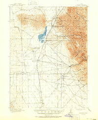
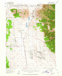
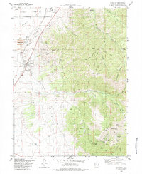
Historical Maps of Tad Park Through Time
4 maps found
Featured Locations
Source Details
SourceU.S. Geological Survey
CopyrightPublic Domain