Old Maps of Vernon, Utah for Metal Detecting
Plan your next treasure hunt with 19 historic maps of Vernon. Find old homesites, ghost towns, trails, and gathering spots that may be lost to time — perfect for identifying promising metal detecting locations.
- Locate forgotten sites: Uncover places like long-lost settlements, abandoned rail lines, or gathering spots.
- Plan better hunts: Use map overlays combined with LiDAR or satellite views to narrow in on historically rich areas.
- Made for detectorists: Thousands of hobbyists use these maps to discover relics, coins, and hidden history.
Use these historic maps to boost your research and find new opportunities beneath the surface of Vernon.
Vernon, UT maps
(19)- 1885 Map of Tooele Valley
 1885 Tooele Valley1885 Print · USGSThe valleys and ranges west of the Wasatch are captured here in the mid-1880s, showcasing the early mining and rail infrastructure of the region. Genealogists can trace early settlements like Grantsville, Ophir, and Stockton, or the route of the Utah and Nevada R. R.6 unique versions available
 - 1953 Map of Tooele, 1968 Print
 1953 Tooele1968 Print · USGSTooele County is shown here in the 1950s, a vast landscape transitioning between the industrial growth of the Salt Lake Valley and isolated military testing grounds. Researchers can trace the routes of the Western Pacific railroad and locate historic outposts like Iosepa Ranch and St John Station.3 unique versions available
 - 1955 Map of Tooele, 1958 Print
 1955 Tooele1958 Print · USGSTooele County and the Great Salt Lake are captured here during the mid-fifties, an era of burgeoning military testing and industrial mining. Researchers can trace the rail sidings at Salduro Station, the grounds of the Deseret Chemical Corps Depot, and the International Smelting Co facilities.3 unique versions available
 - 1971 Map of Faust, 1974 Print
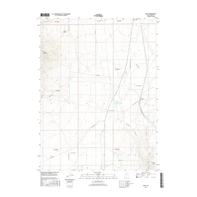
 1971 Faust1974 Print · USGSRush Valley in the early seventies preserves the path of the Old West alongside modern rail infrastructure. Trace the historic route of the Pony Express Road past the Pony Express Station and the Union Pacific line near Faust.
 - 1971 Map of Vernon, 1974 Print
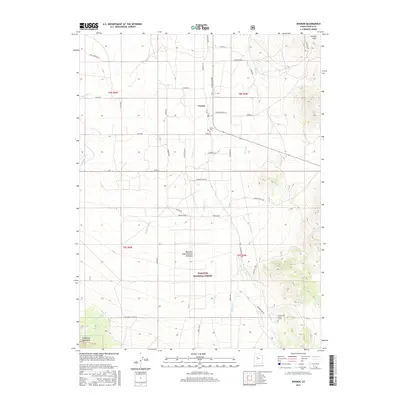
 1971 Vernon1974 Print · USGSRanching and federal land management define this portion of Tooele County during the early seventies. Genealogists and historians can locate Vernon Cem, the historical Benmore (Site), and the unique Chief Green Jacket Grave.
 - 1979 Map of Rush Valley
 1979 Rush Valley1979 Print · USGSTooele and Utah Counties during the late seventies reveal a unique transition from historic mining and ranching to modern military operations. Researchers can trace the Union Pacific Railroad past historic sites like Fairfield and mining camps such as Ophir.2 unique versions available
 - 1993 Map of Vernon
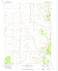
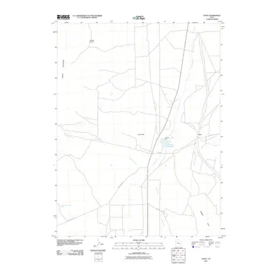
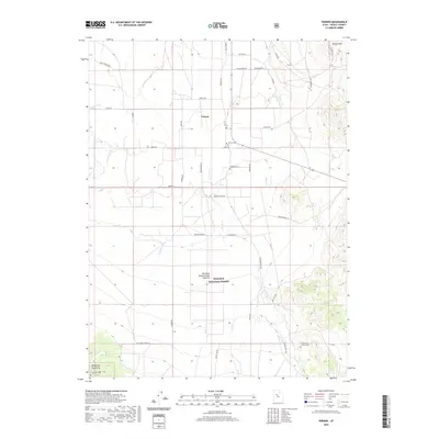
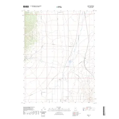
 1993 Vernon1993 Print · USGSThe high desert of Tooele County is documented here during the early nineties, centered on the ranching community of Vernon. Genealogists and researchers can locate the Chief Green Jacket Grave, the Vernon Cem, and the former location of Benmore (Site).
 - 1993 Map of Faust
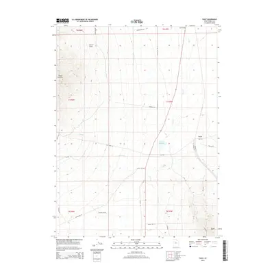
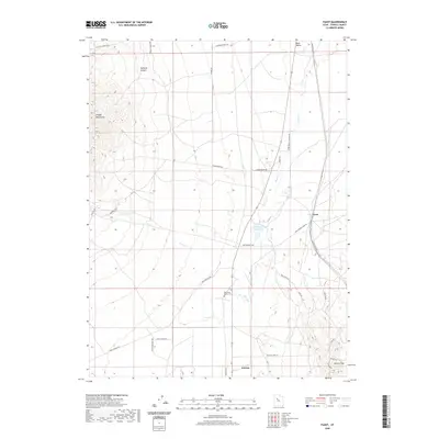
 1993 Faust1993 Print · USGSRush Valley in the early nineties remained a critical waypoint for those tracing the historic Pony Express and Overland Stage Route. You can locate the Faust Pony Express Station Historical Marker and follow the Lookout Pass Trail into the Onaqui Mountains.
 - 1998 Map of Vernon, 2002 Print
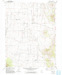
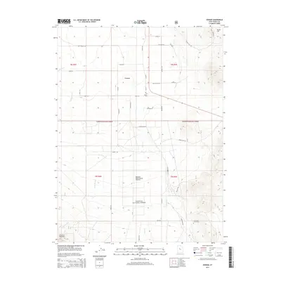
 1998 Vernon2002 Print · USGSNear the close of the twentieth century, the cattle-ranching town of Vernon remained the hub of this high-desert basin. Genealogists and historians can trace family ties at the Vernon Cem, locate the Chief Green Jacket Grave, or explore the former town of Benmore.
 - 2011 Map of Vernon, 2011 Print
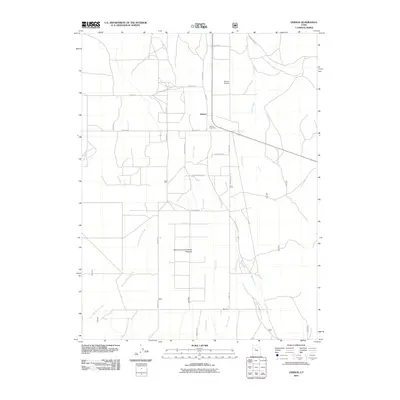 2011 Vernon2011 Print · USGSCovers Vernon, including Tooele County, United States, and other nearby areas
 - 2011 Map of Faust, 2011 Print
 2011 Faust2011 Print · USGSCovers Vernon, including Last Chance Lakes, Tooele County, and other nearby areas
 - 2014 Map of Vernon, 2014 Print
 2014 Vernon2014 Print · USGSCovers Vernon, including Tooele County, United States, and other nearby areas
 - 2014 Map of Faust, 2014 Print
 2014 Faust2014 Print · USGSCovers Vernon, including Last Chance Lakes, Tooele County, and other nearby areas
 - 2017 Map of Vernon, 2017 Print
 2017 Vernon2017 Print · USGSCovers Vernon, including Tooele County, United States, and other nearby areas
 - 2017 Map of Faust, 2017 Print
 2017 Faust2017 Print · USGSCovers Vernon, including Last Chance Lakes, Tooele County, and other nearby areas
 - 2020 Map of Vernon, 2020 Print
 2020 Vernon2020 Print · USGSCovers Vernon, including Tooele County, United States, and other nearby areas
 - 2020 Map of Faust, 2020 Print
 2020 Faust2020 Print · USGSCovers Vernon, including Last Chance Lakes, Tooele County, and other nearby areas
 - 2023 Map of Vernon, 2023 Print
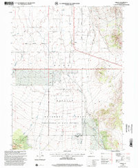
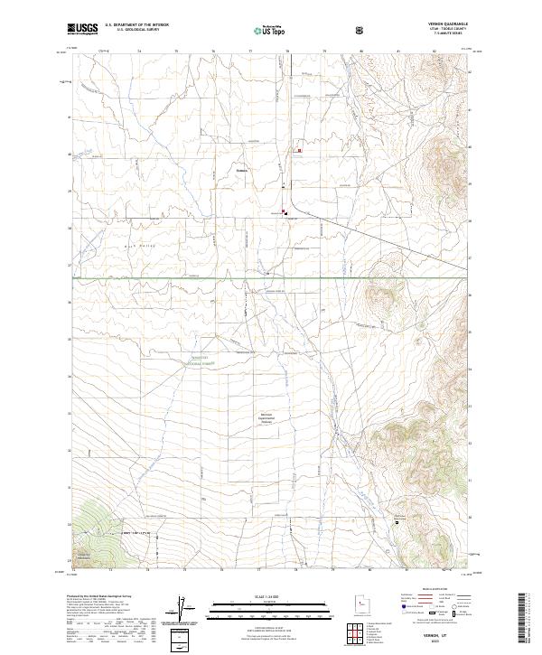 2023 Vernon2023 Print · USGSTooele County's high-desert basin comes into focus during this modern era, centered on the settlement of Vernon within Rush Valley. Researchers can trace local heritage at the Vernon Cem or locate the site of the Chief Green Jacket Grave amidst the Benmore Experimental Pastures.
 - 2023 Map of Faust, 2023 Print
 2023 Faust2023 Print · USGSRush Valley and the eastern slopes of the Onaqui Mountains are captured in this recent survey of the Utah desert. Trace historic mail routes along the Pony Express Trail Rd and locate local landmarks like the Old Faust Ranch Cem.
End of results
Showing maps 1-19 of 19
Top cities near Vernon
Frequently asked questions
- What are the different types of historical maps available for Vernon?
- What is the oldest map of Vernon?
- Where can I purchase historical maps of Vernon for my home or office?
- Where can I download high-res historical maps of Vernon?
- Are there historical topographic maps available for Vernon?
- Is there historical aerial imagery available for Vernon?
- Where are historical maps of Vernon sourced from?