Old Maps of Ballard, Utah for Genealogy
Trace your family roots with 12 historic maps of Ballard. These high-res maps reveal old neighborhoods, homesites, landmarks, and streets — helping you uncover where your ancestors lived and how the area evolved over time.
- Explore historic neighborhoods: Identify where your relatives may have lived in the 1800s or 1900s.
- Compare maps over time: Trace the changes in streets, buildings, and landmarks for multi-generational research.
- Perfect for genealogy & ancestry research: Used by family historians and researchers to map out lineage and migration.
These maps are an incredible resource for exploring your personal connection to Ballard's past.
Ballard, UT maps
(12)- 1885 Map of Ashley
 1885 Ashley1885 Print · USGSThe Uinta Basin in the mid-1880s was a landscape defined by the winding Green River and the high peaks of the eastern Uintas. Researchers can trace early outposts like White Rocks and settlements such as Ashley and Ouray.5 unique versions available
 - 1917 Map of Vernal
 1917 Vernal1917 Print · USGSThe Uinta Basin during the early twentieth century shows a landscape defined by river confluences and emerging irrigation benches. Genealogists can trace family names at Leota Ranch, explore the vicinity of Fort Duchesne, or locate rural schools like Bennett School.2 unique versions available
 - 1954 Map of Vernal, 1966 Print
 1954 Vernal1966 Print · USGSThe Green River basin and Uinta Mountains come alive in this mid-century survey of northeastern Utah and northwestern Colorado. Genealogists and researchers can trace the development of remote outposts like Little Bonanza, Artesia, and Dutch John alongside the expanding Flaming Gorge Reservoir.4 unique versions available
 - 1958 Map of Vernal
 1958 Vernal1958 Print · USGSThe Uinta Basin at the end of the fifties reveals a landscape shaped by massive river systems and burgeoning energy interests. Researchers can trace the layout of Uintah and Ouray Indian Reservation lands and industrial sites like the Gilsonite coking plant and Bonanza.
 - 1960 Map of Vernal
 1960 Vernal1960 Print · USGSNortheastern Utah was a rugged frontier of mineral extraction and federal conservation in the mid-twentieth century. Genealogists and historians can trace the growth of Vernal, locate Gilsonite mining operations near Bonanza, and explore the 1950s boundaries of Dinosaur National Monument.
 - 1964 Map of Roosevelt, 1966 Print
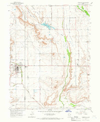 1964 Roosevelt1966 Print · USGSThe growing town of Roosevelt and the surrounding basin lands are captured here during the mid-1960s. Researchers can trace local development through the many Lateral irrigation lines, the Roosevelt Municipal Airport, and the Ute Mission.2 unique versions available
 - 1980 Map of Vernal, 1982 Print
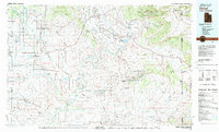 1980 Vernal1982 Print · USGSThe Uintah Basin in the early 1980s reveals a unique landscape of deep-rooted settlements and emerging energy fields. Genealogists and historians can trace the foundations of Fort Duchesne and the Ouray National Wildlife Refuge alongside active sites like the Red Wash Oil and Gas Field.2 unique versions available
 - 2011 Map of Roosevelt, 2011 Print
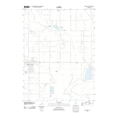 2011 Roosevelt2011 Print · USGSThe growing community of Roosevelt and the adjacent settlement of Ballard are shown here in the early twenty-first century, surrounded by a complex system of canals. Researchers can locate the Roosevelt City Cemetery, Montes Creek Reservoir, and the Roosevelt Post Office.
 - 2014 Map of Roosevelt, 2014 Print
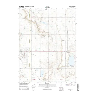 2014 Roosevelt2014 Print · USGSThe Uinta Basin comes into sharp focus during the early twenty-first century, showing the established irrigation grids and ranching roads around Roosevelt. Researchers can trace the water history of the region through the Blackhawk Canal and State Road Lateral, or locate family sites near Ballard and Fort Duchesne.
 - 2017 Map of Roosevelt, 2017 Print
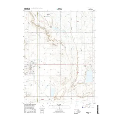 2017 Roosevelt2017 Print · USGSThe high desert of the Uintah Basin comes into focus in this modern survey of the Roosevelt and Ballard area. Researchers can trace the complex irrigation network of the Blackhawk Canal and find local landmarks like Bottle Hollow.
 - 2020 Map of Roosevelt, 2020 Print
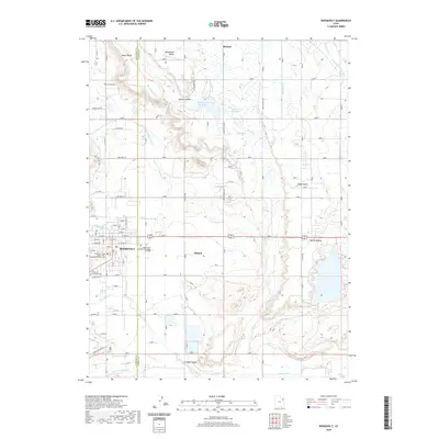 2020 Roosevelt2020 Print · USGSRoosevelt and the surrounding Uintah Basin are captured here in a period of modern growth and established irrigation. Researchers can locate civic landmarks like the Duchesne County Court House and trace regional water works like Dry Gulch Cr and Bench Canal.
 - 2023 Map of Roosevelt, 2023 Print
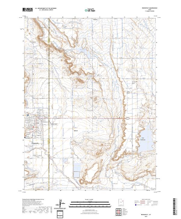 2023 Roosevelt2023 Print · USGSThe borderlands of Duchesne and Uintah counties come alive in this contemporary map of the Uintah Basin. Researchers can trace the intricate irrigation networks of Blackhawk Canal and Harding Lateral or locate civic landmarks like Roosevelt Memorial Park.
End of results
Showing maps 1-12 of 12
Top cities near Ballard
Frequently asked questions
- What are the different types of historical maps available for Ballard?
- What is the oldest map of Ballard?
- Where can I purchase historical maps of Ballard for my home or office?
- Where can I download high-res historical maps of Ballard?
- Are there historical topographic maps available for Ballard?
- Is there historical aerial imagery available for Ballard?
- Where are historical maps of Ballard sourced from?