Old Maps of Springdale, Utah for Metal Detecting
Plan your next treasure hunt with 22 historic maps of Springdale. Find old homesites, ghost towns, trails, and gathering spots that may be lost to time — perfect for identifying promising metal detecting locations.
- Locate forgotten sites: Uncover places like long-lost settlements, abandoned rail lines, or gathering spots.
- Plan better hunts: Use map overlays combined with LiDAR or satellite views to narrow in on historically rich areas.
- Made for detectorists: Thousands of hobbyists use these maps to discover relics, coins, and hidden history.
Use these historic maps to boost your research and find new opportunities beneath the surface of Springdale.
Springdale, UT maps
(22)- 1885 Map of St. George
 1885 St. George1885 Print · USGSSouthern Utah’s high deserts and river valleys are captured here during the mid-1880s, an era of mining expansion and early settlement. Researchers can trace the layout of pioneer towns like Silver Reef, Virgin City, and the historic site of Mountain Meadows.
 - 1886 Map of Kanab
 1886 Kanab1886 Print · USGSSouthern Utah in the late nineteenth century remains a frontier of deep canyons and high plateaus. Researchers can trace early pioneer outposts and river settlements like Orderville, Mt. Carmel, and Kanab tucked beneath the Vermilion Cliffs.5 unique versions available
 - 1891 Map of St. George
 1891 St. George1891 Print · USGSSouthwestern Utah in the early 1890s was a landscape of pioneer outposts and mining ventures at the edge of the Escalante Desert. Genealogists and historians can trace the early footprints of St George, the mining camp at Silver Reef, and the now-quiet site of Iron City.4 unique versions available
 - 1953 Map of Cedar City, 1966 Print
 1953 Cedar City1966 Print · USGSSouthwestern Utah's high plateaus and desert basins are mapped here during the mid-fifties, showing the region before the modern interstate system. Researchers can trace historic mining at Silver Reef, follow the Union Pacific line, and locate early settlements like Kanarraville and Toquerville.3 unique versions available
 - 1958 Map of Cedar City
 1958 Cedar City1958 Print · USGSSouthwestern Utah in the late fifties was a land of mineral extraction and monumental landscapes. Genealogists and historians can trace pioneer-era settlements like Grafton and Parowan alongside industrial sites such as the Silver Reef Mine.2 unique versions available
 - 1962 Map of Cedar City
 1962 Cedar City1962 Print · USGSSouthern Utah in the early sixties showcases a landscape of dramatic plateaus and historic mining outposts. Trace the early settlement patterns at the Silver Reef (ruins), locate the Iron Mine near the Hurricane Cliffs, or find the Fort Harmony Monument.
 - 1980 Map of Springdale East
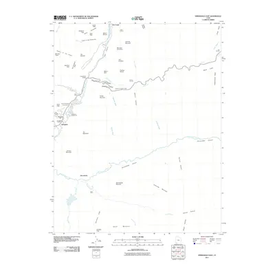
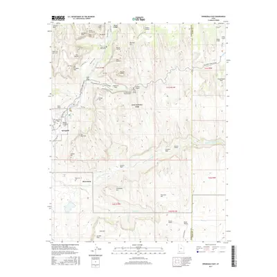
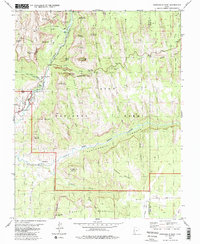 1980 Springdale East1980 Print · USGSWashington and Kane Counties are captured here in the early eighties, showcasing the intersection of pioneer settlement and canyon land preservation. Researchers can trace the layout of Springdale and Shunesburg, or locate historic sites like Wylie Retreat and the Zion-Mount Carmel Tunnel.3 unique versions available
 - 1980 Map of Springdale West
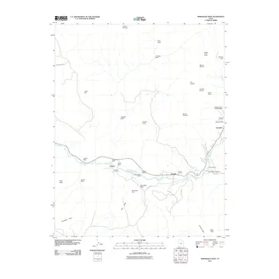
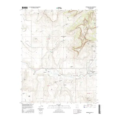
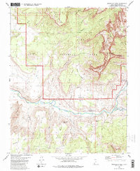 1980 Springdale West1980 Print · USGSThe Virgin River valley in the early 1980s reveals a landscape of isolated settlements and towering sandstone formations. Genealogists and historians can trace the foundations of Grafton and Rockville, or locate the historic Cem and old irrigation washes.2 unique versions available
 - 1980 Map of St. George, 1981 Print
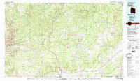
 1980 St. George1981 Print · USGSThe St. George region underwent significant expansion in the early eighties as ranching traditions met new modern development. Researchers can trace the heritage of the Virgin River valley through sites like Grafton, the Apex Mine, and Snow Canyon State Park.2 unique versions available
 - 1980 Map of Kanab, 1981 Print
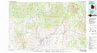
 1980 Kanab1981 Print · USGSSouthern Utah in the late seventies is a landscape of massive geologic terraces and isolated ranching towns. Trace the growth of Kanab and Springdale or locate vanished sites like Shunesburg among the White Cliffs and Vermilion Cliffs.
 - 1997 Map of Springdale East, 2002 Print
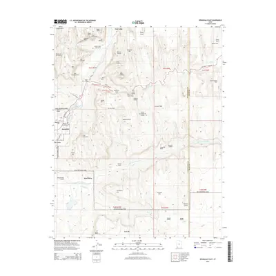
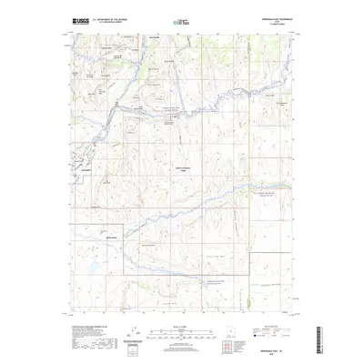
 1997 Springdale East2002 Print · USGSThe canyon country of southern Utah is shown here in the late nineties as tourism and preservation defined the land. Genealogists can locate Shunesburg and the Cem near the river, while hikers trace the Zion-Mount Carmel Tunnel and Checkerboard Mesa.
 - 1999 Map of Springdale West, 2002 Print
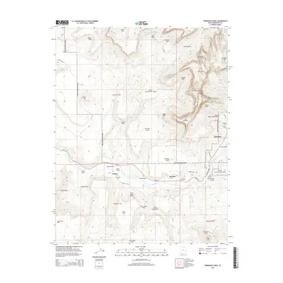
 1999 Springdale West2002 Print · USGSThe Virgin River valley at the turn of the millennium shows the enduring layout of riverfront settlements and the looming sandstone heights of Zion. Genealogists and historians can locate the Cem near Grafton or trace the early paths of the Petrified Forest Trail and Rockville Bench.
 - 2011 Map of Springdale East, 2011 Print
 2011 Springdale East2011 Print · USGSCovers Springdale, including Shunesburg, Zion Lodge, and other nearby areas
 - 2011 Map of Springdale West, 2011 Print
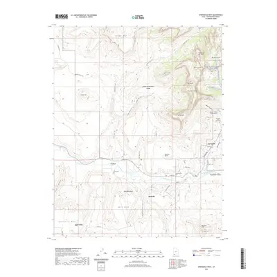
 2011 Springdale West2011 Print · USGSCovers Springdale, including Apple Valley, Rockville, and other nearby areas
 - 2014 Map of Springdale East, 2014 Print
 2014 Springdale East2014 Print · USGSCovers Springdale, including Shunesburg, Zion Lodge, and other nearby areas
 - 2014 Map of Springdale West, 2014 Print
 2014 Springdale West2014 Print · USGSCovers Springdale, including Apple Valley, Rockville, and other nearby areas
 - 2017 Map of Springdale East, 2017 Print
 2017 Springdale East2017 Print · USGSCovers Springdale, including Shunesburg, Zion Lodge, and other nearby areas
 - 2017 Map of Springdale West, 2017 Print
 2017 Springdale West2017 Print · USGSCovers Springdale, including Apple Valley, Rockville, and other nearby areas
 - 2020 Map of Springdale West, 2020 Print
 2020 Springdale West2020 Print · USGSCovers Springdale, including Apple Valley, Rockville, and other nearby areas
 - 2020 Map of Springdale East, 2020 Print
 2020 Springdale East2020 Print · USGSCovers Springdale, including Shunesburg, Zion Lodge, and other nearby areas
 - 2023 Map of Springdale East, 2023 Print
 2023 Springdale East2023 Print · USGSSouthern Utah's red rock corridors and pioneer settlements are preserved here in the early twenty-first century. Genealogists and historians can locate the Shunesburg Cem and trace the canyon-floor development of Springdale and Zion Lodge.
 - 2023 Map of Springdale West, 2023 Print
 2023 Springdale West2023 Print · USGSThe Virgin River valley in Washington County was a vital corridor for early Utah settlers and remains a landscape of staggering verticality. Researchers can trace the legacy of pioneer families at Grafton, Rockville, and the Springdale - Jolley - Gifford Cem.
End of results
Showing maps 1-22 of 22
Top cities near Springdale
- La Verkin historical maps
- Colorado City historical maps
- Centennial Park historical maps
- Hildale historical maps
- Apple Valley historical maps
- Virgin historical maps
See more
Frequently asked questions
- What are the different types of historical maps available for Springdale?
- What is the oldest map of Springdale?
- Where can I purchase historical maps of Springdale for my home or office?
- Where can I download high-res historical maps of Springdale?
- Are there historical topographic maps available for Springdale?
- Is there historical aerial imagery available for Springdale?
- Where are historical maps of Springdale sourced from?