Old Maps of Fruita, Utah for Metal Detecting
Plan your next treasure hunt with 14 historic maps of Fruita. Find old homesites, ghost towns, trails, and gathering spots that may be lost to time — perfect for identifying promising metal detecting locations.
- Locate forgotten sites: Uncover places like long-lost settlements, abandoned rail lines, or gathering spots.
- Plan better hunts: Use map overlays combined with LiDAR or satellite views to narrow in on historically rich areas.
- Made for detectorists: Thousands of hobbyists use these maps to discover relics, coins, and hidden history.
Use these historic maps to boost your research and find new opportunities beneath the surface of Fruita.
Fruita, UT maps
(14)- 1885 Map of Fish Lake
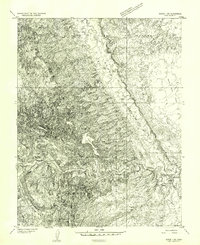
 1885 Fish Lake1885 Print · USGSThe high plateaus and early canyon settlements of central Utah are documented here in the mid-1880s, shortly after the Powell Survey. Genealogists and historians can trace early families in Salina, Antimony, and Cousharem, or locate remote sites like Bean Spring.
 - 1896 Map of Fish Lake, 1899 Print
 1896 Fish Lake1899 Print · USGSSouthern Utah in the late nineteenth century is a land of high plateaus and isolated river settlements. Trace early pioneer outposts like Thurber, Teardale, and Antimony alongside geological marvels such as Fish Lake and the Water Pocket Flexure.4 unique versions available
 - 1952 Map of Notom 1 SW, 1954 Print
 1952 Notom 1 SW1954 Print · USGSThis mid-century survey of Wayne County captures the transition from the high mesas to the river valley just after the war. Researchers can trace the early route across Midway Bridge or locate landmarks like Horse Mesa and Notch Water.
 - 1954 Map of Fruita, 1957 Print
 1954 Fruita1957 Print · USGSWayne County, Utah, is seen here in the mid-fifties, capturing the remote river valleys and monumental rock formations before modern tourism fully arrived. Researchers can trace the early trails and water sources that sustained this area, from Campers Spring to the Caineville Ditch and Hartnet Trail.2 unique versions available
 - 1956 Map of Salina
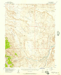
 1956 Salina1956 Print · USGSCentral Utah in the mid-fifties reveals a landscape of high plateaus and desert basins before the modern highway era. Researchers can trace the ranching and mining roots of Hanksville and Loa or locate the Lucky Strike Mine near the San Rafael Swell.5 unique versions available
 - 1960 Map of Salina
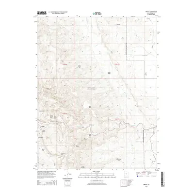
 1960 Salina1960 Print · USGSThe high plateaus and canyonlands of south-central Utah appear in the early sixties as a region of remote ranching towns and developing parklands. Researchers can trace historic settlements like Fruita and Loa or locate the uranium mines and the tracks of the Denver and Rio Grande Western RR.2 unique versions available
 - 1962 Map of Salina
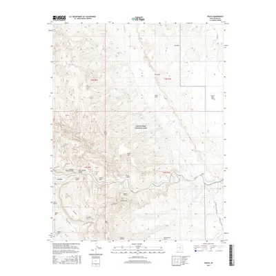
 1962 Salina1962 Print · USGSSevier County and the surrounding desert wilderness appear here in the early sixties as a network of isolated river valley towns and high-altitude forests. Researchers can locate remote landmarks like Fruita, trace the Denver & Rio Grande Western RR, and find backcountry sites like the Aquarius Ranger Station.
 - 1980 Map of Loa
 1980 Loa1980 Print · USGSCentral Utah's high plateaus and the Fremont River corridor are captured here during the 1980s, showcasing a landscape of high-elevation reservoirs and remote ranching outposts. Genealogists can trace family names and early settlements from Loa and Teasdale to the orchards of Fruita.2 unique versions available
 - 1987 Map of Fruita
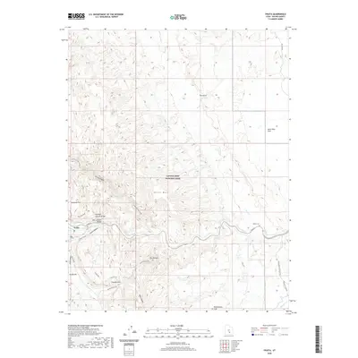
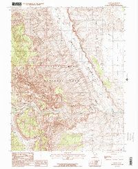 1987 Fruita1987 Print · USGSThe settlement of Fruita is shown at the confluence of desert rivers during the late 1980s, surrounded by the towering cliffs of Capitol Reef. Researchers can trace the geologic uplift of the Waterpocket Fold and locate landmarks like Hickman Natural Bridge and Danish Hill.2 unique versions available
 - 2011 Map of Fruita, 2011 Print
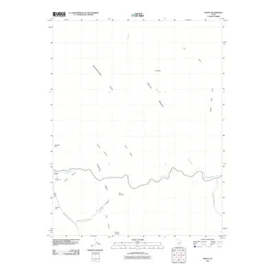 2011 Fruita2011 Print · USGSCovers Fruita, including Wayne County, United States, and other nearby areas
 - 2014 Map of Fruita, 2014 Print
 2014 Fruita2014 Print · USGSCovers Fruita, including Wayne County, United States, and other nearby areas
 - 2017 Map of Fruita, 2017 Print
 2017 Fruita2017 Print · USGSCovers Fruita, including Wayne County, United States, and other nearby areas
 - 2020 Map of Fruita, 2020 Print
 2020 Fruita2020 Print · USGSCovers Fruita, including Wayne County, United States, and other nearby areas
 - 2023 Map of Fruita, 2023 Print
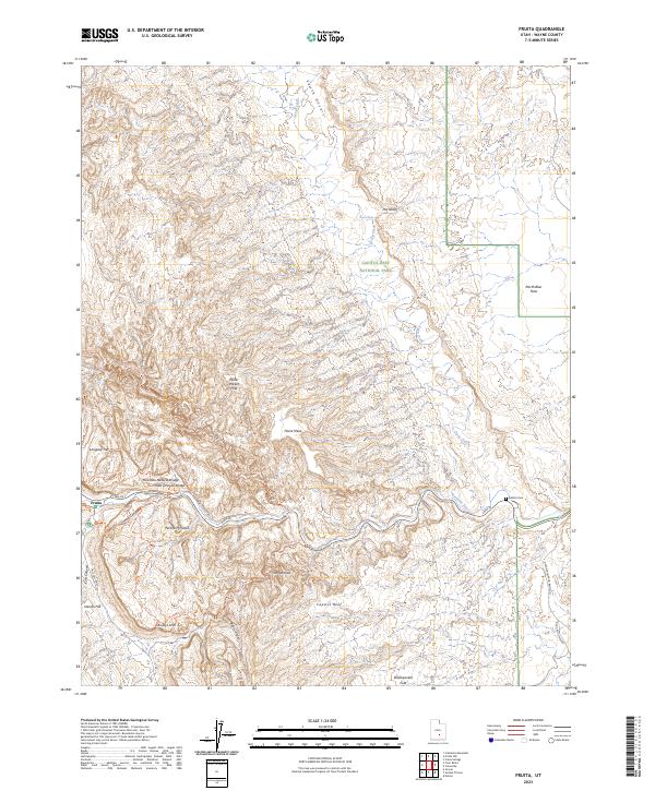 2023 Fruita2023 Print · USGSThe settlement of Fruita sits at the heart of the desert canyonlands along the Fremont River during the early 2020s. Researchers can trace historic access points and landmarks like the Aldrich Cem, Hickman Natural Bridge, and the winding Grand Wash Trl.
End of results
Showing maps 1-14 of 14
Top cities near Fruita
Frequently asked questions
- What are the different types of historical maps available for Fruita?
- What is the oldest map of Fruita?
- Where can I purchase historical maps of Fruita for my home or office?
- Where can I download high-res historical maps of Fruita?
- Are there historical topographic maps available for Fruita?
- Is there historical aerial imagery available for Fruita?
- Where are historical maps of Fruita sourced from?