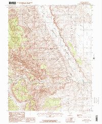
1987 Map of Fruita
USGS Topo · Published 1987About this map
Fruita sits as a quiet focal point within the dramatic geologic structures of Capitol Reef National Park during the late 1980s. The settlement occupies a rare stretch of cultivable land where Sulphur Creek meets the Fremont River, providing a stark contrast to the surrounding Waterpocket Fold. This massive monocline dominates the western portion of the map, revealing the intricate drainage patterns of Grand Wash and Cohab Canyon.
Find a feature on this map
22 named features on this map. Tap any name to fly to it.
Don’t see what you’re looking for? This feature index may not catch every label — zoom into the map to look around manually.
Map Details
Editions of this 1987 Fruita Map
2 editions found
Other maps of this area

1885 · Fish Lake
USGS Topo · 1:250,000

1896 · Fish Lake
USGS Topo · 1:250,000

1952 · Notom 2 SE
USGS Topo · 1:24,000

1952 · Notom 4 NW
USGS Topo · 1:24,000

1952 · Notom 4 NE
USGS Topo · 1:24,000

1952 · Notom 2 NE
USGS Topo · 1:24,000

1952 · Notom 3 NE
USGS Topo · 1:24,000

1952 · Notom 1 SW
USGS Topo · 1:24,000

1952 · Grover
USGS Topo · 1:62,500

1952 · Torrey
USGS Topo · 1:62,500