Old Maps of Sandgate, Vermont for Academic Research
Study the evolution of Sandgate with 45 high-resolution historic maps. Whether you're teaching, researching, or modeling changes in land use, these maps provide essential visual documentation of urban, environmental, and geographic change.
- Analyze long-term change: Track patterns in development, transportation, and natural features.
- Ideal for environmental or urban studies: Support academic projects with primary historical map data.
- Use in the classroom or lab: Educators and researchers rely on these maps to bring historical context to life.
These maps are a powerful tool for teaching, research, and visualizing how Sandgate has changed over the decades.
Sandgate, VT maps
(45)- 1894 Map of Equinox, 1964 Print
 1894 Equinox1964 Print · USGSBennington County's river valleys and mountain peaks are captured here in the late nineteenth century as timber and rail defined the local economy. Genealogists and historians can trace the early layouts of Arlington, Manchester, and vanished settlements like Kansas or Fayville.2 unique versions available
 - 1895 Map of Cambridge
 1895 Cambridge1895 Print · USGSWashington County, New York, is captured in the 1890s as a landscape of interconnected rail lines and riverside villages. Genealogists and historians can trace the paths of the Rutland and Washington R.R. through Salem or locate family roots in hamlets like Pumpkin Hook and Shushan.
 - 1896 Map of Equinox
 1896 Equinox1896 Print · USGSBennington County’s mountain valleys and river corridors are captured here in the late nineteenth century during a period of robust rail expansion. Genealogists and local historians can trace family locations near Manchester Center, find remote settlements like Kelley Stand, or follow the Bennington and Rutland R. R. line.
 - 1898 Map of Cambridge
 1898 Cambridge1898 Print · USGSWashington County at the close of the nineteenth century was a landscape of river-powered hamlets and busy rail corridors. Researchers can trace ancestral farmsteads and early industry near Batten Kill or explore the rail stops at Easton Sta. and Salem.
 - 1900 Map of Equinox
 1900 Equinox1900 Print · USGSBennington County’s valley corridor and high mountain notches are captured here in the final years of the nineteenth century. Researchers can trace the early rail-and-river network through Manchester Depot, identify old homesteads at Kelley Stand, and locate vanished landmarks like Fayville.7 unique versions available
 - 1901 Map of Cambridge
 1901 Cambridge1901 Print · USGSWashington County at the turn of the century is a landscape of river-powered industry and sprawling rail networks connecting New York to Vermont. Genealogists and historians can trace the paths of the Batten Kill, find old rail stops at Easton Sta., and locate vanished names like Pumpkin Hook.8 unique versions available
 - 1903 Map of Mettawee
 1903 Mettawee1903 Print · USGSThe New York and Vermont borderlands come alive in this turn-of-the-century survey of the Mettawee Valley. Genealogists can trace family footprints from Middletown Springs down to the Saratoga and Champlain Canal at Fort Ann.2 unique versions available
 - 1944 Map of Shushan, 1958 Print
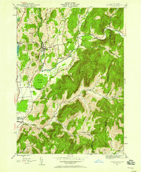 1944 Shushan1958 Print · USGSThe Batten Kill valley comes alive in this mid-century record of eastern New York and the Vermont border. Researchers can trace the path of the Delaware and Hudson railroad and locate rural landmarks like Binninger Cem and Pumpkin Hook.3 unique versions available
 - 1944 Map of Salem, 1958 Print
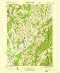 1944 Salem1958 Print · USGSThe village of Salem and the surrounding Washington County hills are shown during the mid-1940s, highlighting the area's rail and river connections. Genealogists and researchers can locate Evergreen Cem, the Delaware and Hudson line, and rural settlements like Rexleigh.2 unique versions available
 - 1946 Map of Shushan
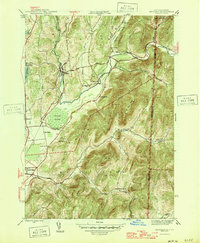 1946 Shushan1946 Print · USGSThe borderlands of New York and Vermont are captured here just after the war, showing the rural communities of Washington and Bennington counties. Genealogists can trace family names through landmarks like Binninger Cem, Pumpkin Hook, and a system of district schools from School No 6 to School No 11.2 unique versions available
 - 1946 Map of Salem
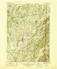 1946 Salem1946 Print · USGSWashington County at the end of the Second World War shows a rural landscape anchored by rail hubs and valley farming. Genealogists and historians can trace family locations near Salem, find burials at Evergreen Cem, or follow the Batten Kill river through Rexleigh.
 - 1947 Map of Shushan
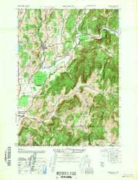 1947 Shushan1947 Print · USGSThe Batten Kill valley was a network of rail-side hamlets and mountain hollows in the late 1940s. Genealogists and historians can trace the Delaware and Hudson line through Shushan and find remote landmarks like Binninger Cem and Pumpkin Hook.
 - 1950 Map of Glens Falls
 1950 Glens Falls1950 Print · USGSThe Adirondacks and the Green Mountains meet in this mid-century survey of the New York and Vermont borderlands. Researchers can trace the industrial rail corridors of the Rutland RR and Delaware & Hudson RR connecting Glens Falls, Rutland, and the shores of Lake George.
 - 1950 Map of Salem, 1951 Print
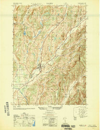 1950 Salem1951 Print · USGSMid-century Washington County reveals a landscape of valley farms and mountain ridges just as the post-war era began. Genealogists and local historians can trace the tracks of the Delaware and Hudson railroad or locate family plots in Evergreen Cem and Cleveland Cem.
 - 1956 Map of Glens Falls, 1968 Print
 1956 Glens Falls1968 Print · USGSUpper New York and the Vermont mountains are captured here in the mid-fifties, showing the rugged rail-and-river network of the Northeast. Researchers can trace the paths of the Delaware and Hudson RR and Rutland RR as they wind through valley towns like Poultney and Whitehall.3 unique versions available
 - 1959 Map of Glens Falls
 1959 Glens Falls1959 Print · USGSUpper New York and Vermont are captured here during the late 1950s, a period of transition for these mountain communities. Researchers can trace the legacy of the region's river-and-rail economy through landmarks like Lake George, Saratoga Springs, and Killington Peak.2 unique versions available
 - 1964 Map of Glens Falls
 1964 Glens Falls1964 Print · USGSThe tri-state borderlands of New York, Vermont, and New Hampshire appear here in the mid-1960s. Researchers can trace the rail routes of the Rutland RR and find historic sites like Ticonderoga and Saratoga National Historical Park.
 - 1967 Map of Arlington, 1971 Print
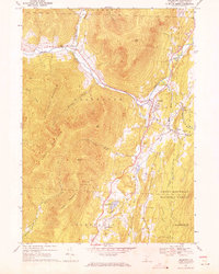 1967 Arlington1971 Print · USGSArlington and its surrounding hamlets are captured in the late sixties as the valley economy balanced river-side industry and mountain forestry. Researchers can trace the layout of small settlements like Chiselville and Kansas or locate family sites near Evergreen Cem and Fisher Sch.2 unique versions available
 - 1967 Map of West Rupert, 1972 Print
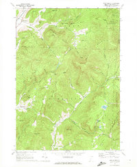 1967 West Rupert1972 Print · USGSBennington County’s highlands are captured here during the late sixties, showcasing a landscape of steep hollows and mountain forests. Researchers can trace family names across Shatterack Mountain or locate early settlements like West Sandgate and Beartown.
 - 1986 Map of Glens Falls
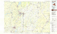 1986 Glens Falls1986 Print · USGSThe Upper Hudson Valley and Vermont borderlands come together in this mid-eighties survey of industrial river towns and mountain retreats. Genealogists and historians can trace the rail lines of the Delaware and Hudson Railway or locate landmarks like the Mount McGregor Correctional Facility and Saratoga Spa State Park.2 unique versions available
 - 1989 Map of Glens Falls
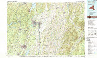 1989 Glens Falls1989 Print · USGSThe Upper Hudson Valley and the Vermont borderlands are captured here during the late eighties, showing a landscape of river-town industry and mountain recreation. Researchers can trace the Champlain Canal, the Delaware and Hudson RR, and historic sites like Saratoga National Historical Park.
 - 1995 Map of West Rupert, 2000 Print
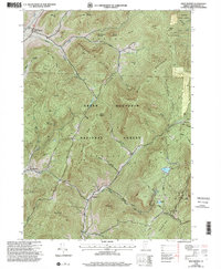 1995 West Rupert2000 Print · USGSBennington County during the mid-1990s reveals a landscape where deep mountain hollows and high peaks dictate the limits of settlement. Genealogists and historians can trace the remote outposts of West Sandgate and Beartown or locate families near Lake Madeleine and Barber Lake.
 - 1995 Map of Shushan, 2000 Print
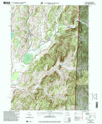 1995 Shushan2000 Print · USGSWashington County, New York, and the Vermont borderland are captured here in the mid-1990s, showcasing a network of historic rural settlements. Genealogists and researchers can trace family lands near Shushan, Pumpkin Hook, and the Bininger Cem, or locate the district schoolhouses that once served these valley communities.
 - 1995 Map of Salem, 2000 Print
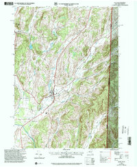 1995 Salem2000 Print · USGSThe rural landscape of the New York-Vermont border is captured here during the mid-1990s, centering on the valley of the Batten Kill. Researchers can trace old family names and settlements through landmarks like Evergreen Cem, Rexleigh, and the rail junction at Greenwich Junc.
 - 1997 Map of Arlington, 2000 Print
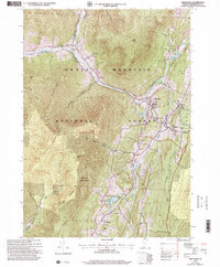 1997 Arlington2000 Print · USGSBennington County’s mountain valleys and historic river crossings are captured here in the late nineties, documenting the area's transition into a modern forest and parkland. Genealogists can trace family landmarks and school sites like Fisher Sch or the riverside hamlets of West Arlington and Chiselville.
Showing maps 1-25 of 45
Top cities near Sandgate
- Hoosick historical maps
- Granville historical maps
- Fort Ann historical maps
- Pittstown historical maps
- Greenwich historical maps
- Manchester historical maps
See more
Top neighborhoods of Sandgate
Frequently asked questions
- What are the different types of historical maps available for Sandgate?
- What is the oldest map of Sandgate?
- Where can I purchase historical maps of Sandgate for my home or office?
- Where can I download high-res historical maps of Sandgate?
- Are there historical topographic maps available for Sandgate?
- Is there historical aerial imagery available for Sandgate?
- Where are historical maps of Sandgate sourced from?