2000s (21st Century) Maps of Sandgate, Vermont
Explore 20 historic maps of Sandgate from the 2000s (21st Century). These maps offer a rare glimpse into what life looked like during the 2000s — showing old roads, neighborhoods, homes, and landmarks that have changed or disappeared over time.
Whether you're researching your family's past, planning a metal detecting trip, or studying how Sandgate's landscape evolved across the 2000s, these high-resolution maps are a powerful tool for exploring the history of this region.
- Focus on a specific era: All maps on this page are from the 2000s, giving you a focused view of this time period.
- See what’s changed: Compare century-old streets, trails, and buildings to today's modern landscape using overlays and satellite layers.
- Research with precision: Use these maps for genealogy, historical research, land use analysis, or educational projects.
- View, download, or print: Maps are fully viewable online in high resolution, and can be downloaded or printed for your own records.
Start exploring Sandgate's history through authentic maps from the 2000s. This is your window into the past.
Sandgate, VT maps
(20)- 2011 Map of Salem, 2011 Print
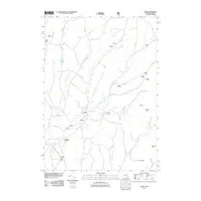 2011 Salem2011 Print · USGSSalem and the Batten Kill valley are captured in detail during the early twenty-first century, showing a landscape of deep-rooted settlements and rural hollows. Genealogists and historians can locate the Revolutionary War Cemetery, the historic Rexleigh Bridge, and the quiet community of West Hebron.
 - 2011 Map of Shushan, 2011 Print
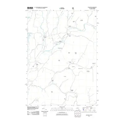 2011 Shushan2011 Print · USGSThe Shushan area and the borderlands of New York and Vermont are documented here in the early twenty-first century. Researchers can trace rural lineages through numerous family sites like Guber Farm Cemetery and the landmark Eagleville Covered Bridge.
 - 2012 Map of Arlington, 2012 Print
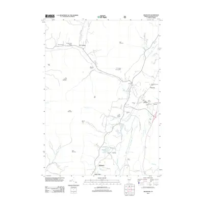 2012 Arlington2012 Print · USGSBennington County's river valleys and mountain peaks are captured here in the early twenty-first century, showcasing a landscape of covered bridges and small villages. Genealogists can trace family landmarks like Matteson Cem and West Arlington Cem, or locate historic crossings at the Arlington Green Covered Bridge.
 - 2012 Map of West Rupert, 2012 Print
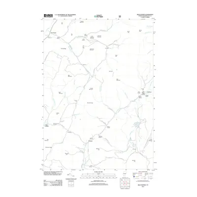 2012 West Rupert2012 Print · USGSBennington County’s highlands are captured here in the early twenty-first century, showing a landscape of deep hollows and isolated cemeteries. Genealogists can trace family sites at Scott Cem and Sherman Cem or locate the small settlements of Beartown and Sandgate.
 - 2013 Map of Salem, 2013 Print
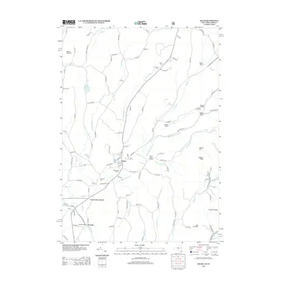 2013 Salem2013 Print · USGSSalem and its surrounding valleys are captured here in the early twenty-first century. Genealogists and local historians can trace family sites at the Revolutionary War Cem, Evergreen Cem, and the old rail nexus at Greenwich Junction.
 - 2013 Map of Shushan, 2013 Print
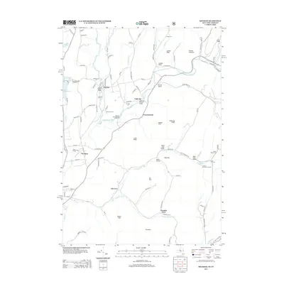 2013 Shushan2013 Print · USGSCrossing the Vermont and New York border in the early twenty-first century, this area preserves a landscape of historic covered bridges and ancestral farmsteads. Genealogists and local historians can trace family lines at the Le Barron Harrington Farm Cem or locate the distinctive Shushan Covered Bridge.
 - 2015 Map of West Rupert, 2015 Print
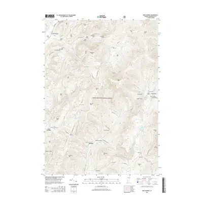 2015 West Rupert2015 Print · USGSBennington County’s mountain landscape is captured here in the mid-2010s, showing the intersection of deep-rooted settlements and protected forest lands. Genealogists can trace family locations through numerous small burial sites like Sandgate Center Cem and Beartown Cem near the high slopes of Equinox Mtn.
 - 2015 Map of Arlington, 2015 Print
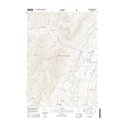 2015 Arlington2015 Print · USGSArlington and the surrounding valley communities are captured in the mid-2010s, showing the enduring character of this Bennington County landscape. Genealogists and local historians can trace family locations near the Arlington Green Covered Bridge, South End Cem, and Lake Shaftsbury.
 - 2016 Map of Shushan, 2016 Print
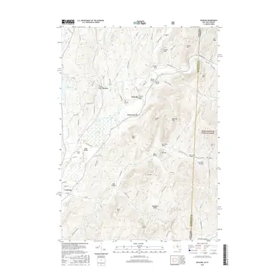 2016 Shushan2016 Print · USGSThe New York and Vermont borderlands come into focus during this modern survey of the Batten Kill valley. Researchers can trace historical family plots like Binninger Cem and legendary structures including the Shushan Covered Bridge and Eagleville Covered Bridge.
 - 2016 Map of Salem, 2016 Print
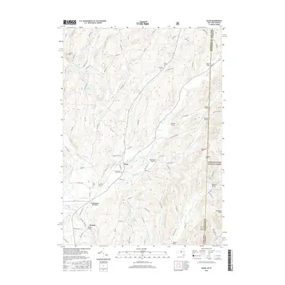 2016 Salem2016 Print · USGSNew York's eastern borderlands near the turn of the twenty-first century reveal a landscape of deep valleys and early American heritage. Genealogists and historians can trace local lineages through sites like the Revolutionary War Cem, Rexleigh Bridge, and Parish Cem.
 - 2018 Map of Arlington, 2018 Print
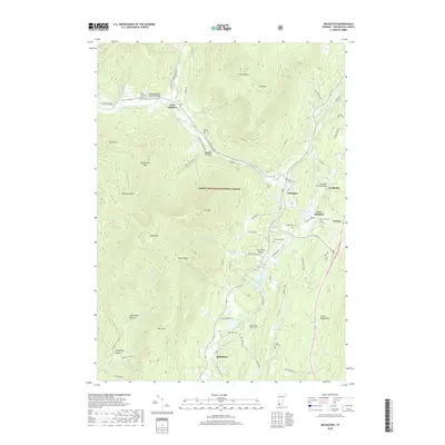 2018 Arlington2018 Print · USGSBennington County’s river valleys and mountain gaps are mapped here in the late 2010s. Researchers can locate several burial sites like Little Rhode Island Cem and trace historic spans including the Arlington Green Covered Bridge and Chiselville Covered Bridge.
 - 2018 Map of West Rupert, 2018 Print
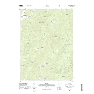 2018 West Rupert2018 Print · USGSBennington County's rugged borderlands are documented here in the late twenty-first century, showing a landscape of deep mountain hollows and high peaks. Researchers can trace family roots through numerous remote burial sites like Scott Cem and Sherman Homestead Cem or locate old settlements at Beartown and West Sandgate.
 - 2019 Map of Shushan, 2019 Print
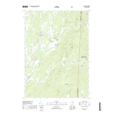 2019 Shushan2019 Print · USGSThe Batten Kill valley and the Vermont-New York borderlands are shown here in the modern era, preserving the locations of early riverside settlements. Researchers can find old family plots and landmarks like the Shushan Covered Bridge, Pumpkin Hook, and Rhoda Blowers Cem.
 - 2019 Map of Salem, 2019 Print
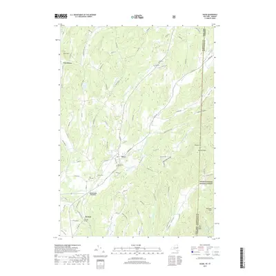 2019 Salem2019 Print · USGSIn the valley of the Battenkill, this late-decade survey documents the landscape around Salem as it straddles the New York and Vermont state line. Genealogists can locate several historic burial grounds, including the Revolutionary War Cem and Holy Cross Cem, or trace the crossing at Rexleigh Bridge.
 - 2021 Map of Arlington, 2021 Print
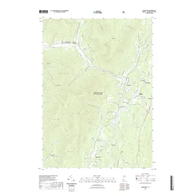 2021 Arlington2021 Print · USGSArlington and the surrounding Green Mountains are captured in this recent survey, showcasing a landscape defined by river valleys and historic crossings. Researchers can trace local heritage through the Arlington Green Covered Bridge, Lake Shaftsbury, and the many cemeteries like Wilder Cem that dot the hillsides.
 - 2021 Map of West Rupert, 2021 Print
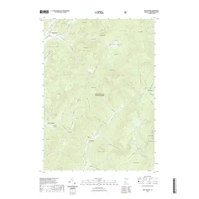 2021 West Rupert2021 Print · USGSBennington County’s mountain hollows and national forest lands are documented here in the early twenty-first century. Researchers can trace family history through numerous burial sites like Sandgate Center Cem and Wilcox Cem or locate landmarks near Equinox Mtn.
 - 2023 Map of Shushan, 2023 Print
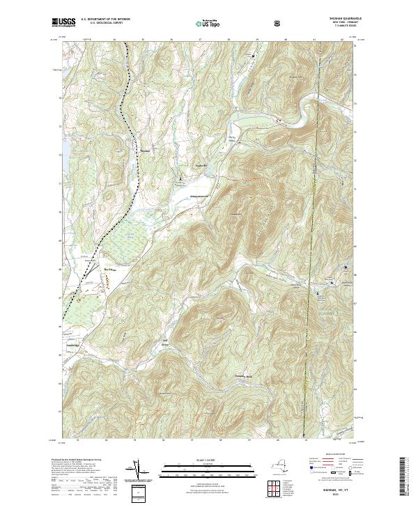 2023 Shushan2023 Print · USGSThe New York and Vermont borderlands come alive in this recent survey of the Shushan area, where the Batten Kill flows through a valley of deep-rooted family farms. Genealogists can trace local heritage through numerous rural burial grounds like Rhoda Blowers Cem and Shushan and Eagleville Cem.
 - 2023 Map of Salem, 2023 Print
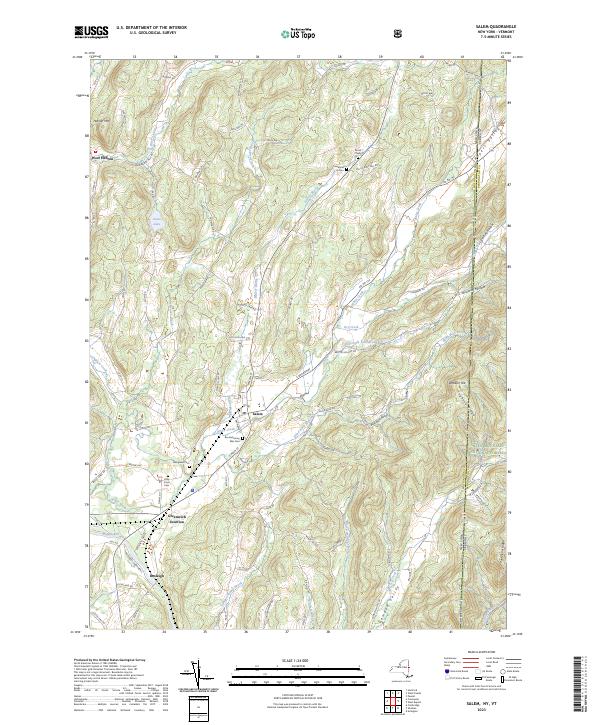 2023 Salem2023 Print · USGSThe borderlands of eastern New York and Vermont are captured here during the 2020s, centered on the historic town of Salem. Genealogists and local historians can trace family plots at the Revolutionary War Cem or explore the river-driven history of Rexleigh and the Batten-Kill.
 - 2024 Map of Arlington, 2024 Print
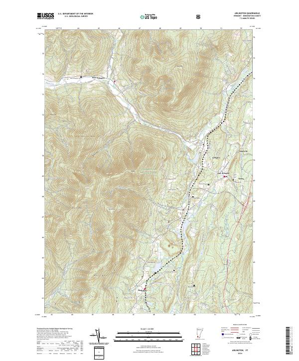 2024 Arlington2024 Print · USGSBennington County’s river valleys and high peaks are captured here in the mid-2020s, showing the enduring layout of the Arlington area. Researchers can trace family history through numerous burial sites like West Arlington Cem and Matteson Cem or locate the quiet crossroads of Chiselville and Kansas.
 - 2024 Map of West Rupert, 2024 Print
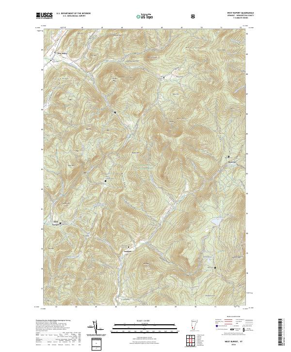 2024 West Rupert2024 Print · USGSBennington County’s mountain terrain is documented here in the early twenty-first century, showing the enduring boundaries of the Green Mountain National Forest. Researchers can trace early family legacies at the Sherman Homestead Cem or follow the historic rail corridor at West Rupert.
End of results
Showing maps 1-20 of 20
Top cities near Sandgate
- Hoosick historical maps
- Granville historical maps
- Fort Ann historical maps
- Pittstown historical maps
- Greenwich historical maps
- Manchester historical maps
See more
Top neighborhoods of Sandgate
Frequently asked questions
- What are the different types of historical maps available for Sandgate?
- What is the oldest map of Sandgate?
- Where can I purchase historical maps of Sandgate for my home or office?
- Where can I download high-res historical maps of Sandgate?
- Are there historical topographic maps available for Sandgate?
- Is there historical aerial imagery available for Sandgate?
- Where are historical maps of Sandgate sourced from?