2020s Maps of Caledonia County, Vermont
Explore 50 historic maps of Caledonia County from the 2020s. These maps offer a rare glimpse into what life looked like during the 2020s — showing old roads, neighborhoods, homes, and landmarks that have changed or disappeared over time.
Whether you're researching your family's past, planning a metal detecting trip, or studying how Caledonia County's landscape evolved across the 2020s, these high-resolution maps are a powerful tool for exploring the history of this region.
- Focus on a specific era: All maps on this page are from the 2020s, giving you a focused view of this time period.
- See what’s changed: Compare century-old streets, trails, and buildings to today's modern landscape using overlays and satellite layers.
- Research with precision: Use these maps for genealogy, historical research, land use analysis, or educational projects.
- View, download, or print: Maps are fully viewable online in high resolution, and can be downloaded or printed for your own records.
Start exploring Caledonia County's history through authentic maps from the 2020s. This is your window into the past.
Caledonia County, VT maps
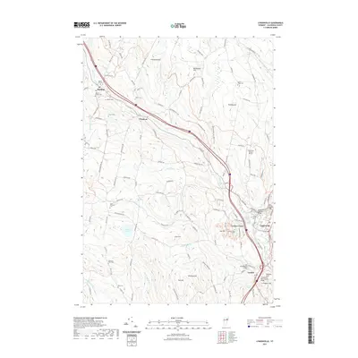
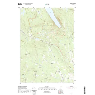
(50)- 2021 Map of Littleton, 2021 Print
 2021 Littleton2021 Print · USGSCovers Caledonia County, including Littleton, Lisbon, and other nearby areas
 - 2021 Map of Woodsville, 2021 Print
 2021 Woodsville2021 Print · USGSCovers Caledonia County, including Haverhill, Newbury, and other nearby areas
 - 2021 Map of Concord, 2021 Print
 2021 Concord2021 Print · USGSCovers Caledonia County, including Saint Johnsbury, Concord, and other nearby areas
 - 2021 Map of Lower Waterford, 2021 Print
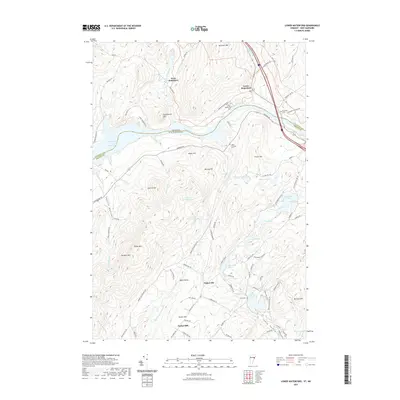 2021 Lower Waterford2021 Print · USGSCovers Caledonia County, including Littleton, Lisbon, and other nearby areas
 - 2021 Map of West Burke, 2021 Print
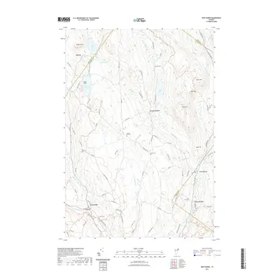 2021 West Burke2021 Print · USGSCovers Caledonia County, including Sutton, Brighton, and other nearby areas
 - 2021 Map of Miles Pond, 2021 Print
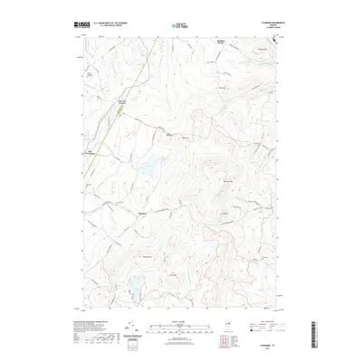
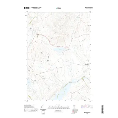 2021 Miles Pond2021 Print · USGSCovers Caledonia County, including Littleton, Lunenburg, and other nearby areas
 - 2021 Map of Gallup Mills, 2021 Print
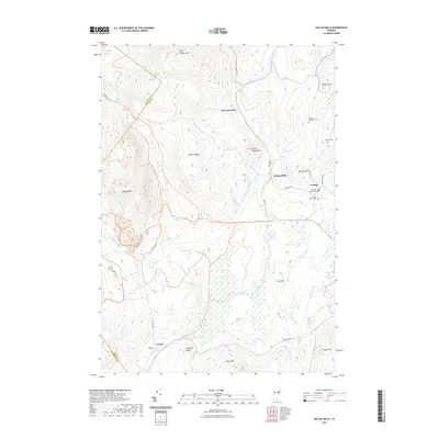 2021 Gallup Mills2021 Print · USGSCovers Caledonia County, including Lunenburg, Concord, and other nearby areas
 - 2021 Map of Island Pond, 2021 Print
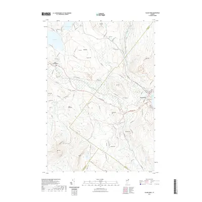 2021 Island Pond2021 Print · USGSCovers Caledonia County, including Brighton, Island Pond, and other nearby areas
 - 2021 Map of Seneca Mountain, 2021 Print
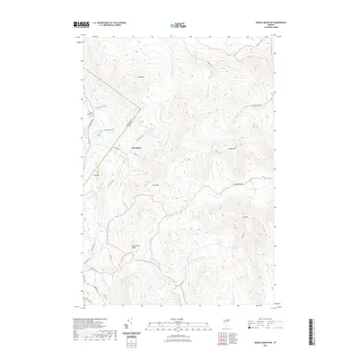 2021 Seneca Mountain2021 Print · USGSCovers Caledonia County, including Brighton, Burke, and other nearby areas
 - 2021 Map of Burke Mountain, 2021 Print
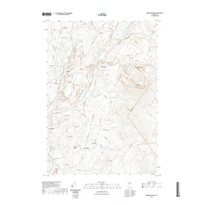 2021 Burke Mountain2021 Print · USGSCovers Caledonia County, including Lyndon, Sutton, and other nearby areas
 - 2021 Map of Cabot, 2021 Print
 2021 Cabot2021 Print · USGSCovers Caledonia County, including Hardwick, Marshfield, and other nearby areas
 - 2021 Map of Woodbury, 2021 Print
 2021 Woodbury2021 Print · USGSCovers Caledonia County, including Hardwick, Calais, and other nearby areas
 - 2021 Map of Lyndonville, 2021 Print
 2021 Lyndonville2021 Print · USGSCovers Caledonia County, including Saint Johnsbury, Danville, and other nearby areas
 - 2021 Map of Caspian Lake, 2021 Print
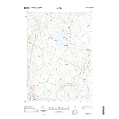 2021 Caspian Lake2021 Print · USGSCovers Caledonia County, including Hardwick, Wolcott, and other nearby areas
 - 2021 Map of Groton, 2021 Print
 2021 Groton2021 Print · USGSCovers Caledonia County, including Newbury, Groton, and other nearby areas
 - 2021 Map of Wolcott, 2021 Print
 2021 Wolcott2021 Print · USGSCovers Caledonia County, including Hyde Park, Hardwick, and other nearby areas
 - 2021 Map of Marshfield, 2021 Print
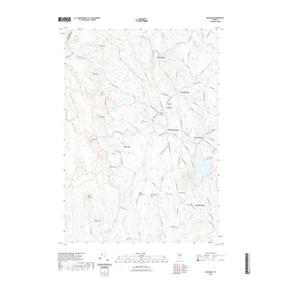
 2021 Marshfield2021 Print · USGSCovers Caledonia County, including Marshfield, Marshfield, and other nearby areas
 - 2021 Map of Peacham, 2021 Print
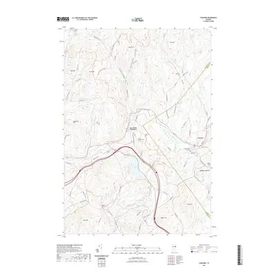
 2021 Peacham2021 Print · USGSCovers Caledonia County, including Danville, Cabot, and other nearby areas
 - 2021 Map of Knox Mountain, 2021 Print
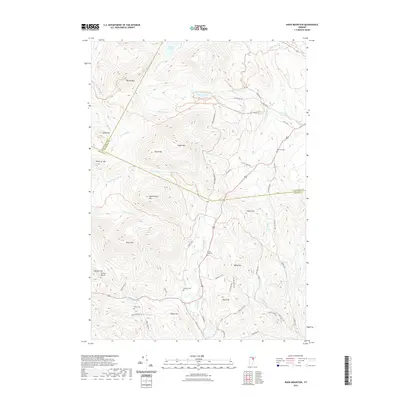 2021 Knox Mountain2021 Print · USGSCovers Caledonia County, including Marshfield, Plainfield, and other nearby areas
 - 2021 Map of Crystal Lake, 2021 Print
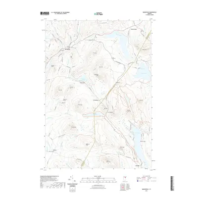
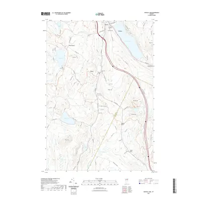 2021 Crystal Lake2021 Print · USGSCovers Caledonia County, including Barton, Glover, and other nearby areas
 - 2021 Map of Joes Pond, 2021 Print
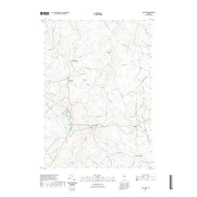 2021 Joes Pond2021 Print · USGSCovers Caledonia County, including Danville, Cabot, and other nearby areas
 - 2021 Map of Saint Johnsbury, 2021 Print
 2021 Saint Johnsbury2021 Print · USGSCovers Caledonia County, including Saint Johnsbury, Danville, and other nearby areas
 - 2021 Map of Sutton, 2021 Print
 2021 Sutton2021 Print · USGSCovers Caledonia County, including Barton, Sutton, and other nearby areas
 - 2021 Map of Barnet, 2021 Print
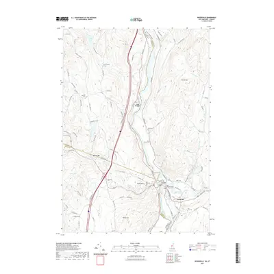
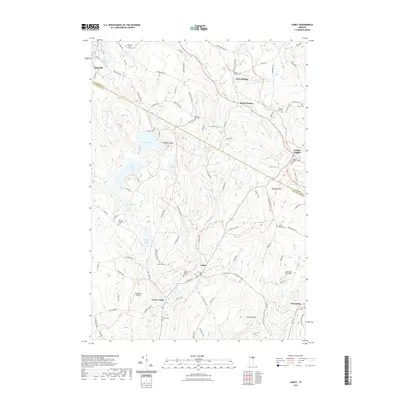
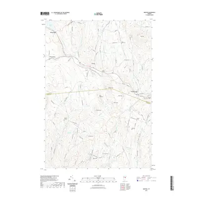
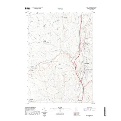
 2021 Barnet2021 Print · USGSCovers Caledonia County, including Danville, Monroe, and other nearby areas
 - 2021 Map of Stannard, 2021 Print
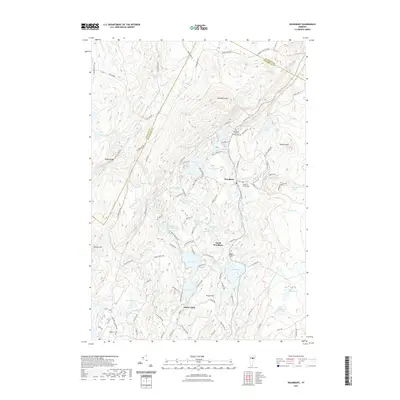
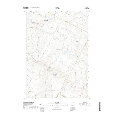
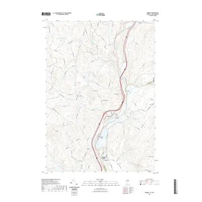
 2021 Stannard2021 Print · USGSCovers Caledonia County, including Danville, Glover, and other nearby areas
Showing maps 1-25 of 50
Top cities of Caledonia County
- Saint Johnsbury historical maps
- Hardwick historical maps
- Danville historical maps
- Lyndon historical maps
- Sutton historical maps
- Groton historical maps
See more
Frequently asked questions
- What are the different types of historical maps available for Caledonia County?
- What is the oldest map of Caledonia County?
- Where can I purchase historical maps of Caledonia County for my home or office?
- Where can I download high-res historical maps of Caledonia County?
- Are there historical topographic maps available for Caledonia County?
- Is there historical aerial imagery available for Caledonia County?
- Where are historical maps of Caledonia County sourced from?