2020s Maps of Alburgh, Vermont
Explore 9 historic maps of Alburgh from the 2020s. These maps offer a rare glimpse into what life looked like during the 2020s — showing old roads, neighborhoods, homes, and landmarks that have changed or disappeared over time.
Whether you're researching your family's past, planning a metal detecting trip, or studying how Alburgh's landscape evolved across the 2020s, these high-resolution maps are a powerful tool for exploring the history of this region.
- Focus on a specific era: All maps on this page are from the 2020s, giving you a focused view of this time period.
- See what’s changed: Compare century-old streets, trails, and buildings to today's modern landscape using overlays and satellite layers.
- Research with precision: Use these maps for genealogy, historical research, land use analysis, or educational projects.
- View, download, or print: Maps are fully viewable online in high resolution, and can be downloaded or printed for your own records.
Start exploring Alburgh's history through authentic maps from the 2020s. This is your window into the past.
Alburgh, VT maps
(9)- 2021 Map of East Alburg OE N, 2021 Print
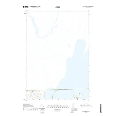 2021 East Alburg OE N2021 Print · USGSCovers Alburgh, including Swanton, Henryville, and other nearby areas
 - 2021 Map of Rouses Point OE N, 2021 Print
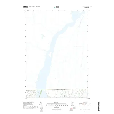 2021 Rouses Point OE N2021 Print · USGSCovers Alburgh, including Champlain, Lacolle, and other nearby areas
 - 2021 Map of North Hero, 2021 Print
 2021 North Hero2021 Print · USGSCovers Alburgh, including Plattsburgh, Beekmantown, and other nearby areas
 - 2021 Map of East Alburg, 2021 Print
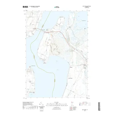 2021 East Alburg2021 Print · USGSCovers Alburgh, including Swanton, North Hero, and other nearby areas
 - 2023 Map of Rouses Point, 2023 Print
 2023 Rouses Point2023 Print · USGSThe northern reaches of Lake Champlain come alive in this recent survey of the New York and Vermont borderlands. Genealogists can trace family names across Isle la Motte and the Alburg Tongue, identifying local landmarks like Saint Anne's Shrine Columbarium and Reynolds McGregor Cem.
 - 2024 Map of East Alburg OE N, 2024 Print
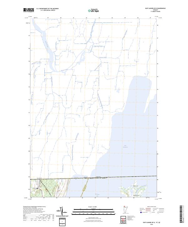 2024 East Alburg OE N2024 Print · USGSThe northernmost edge of Vermont meets the Canadian border in this recent survey of the Missisquoi basin. Researchers can trace the wetlands of the Missisquoi National Wildlife Refuge and locate family landmarks like Greenwood Cem and Greenwoods Airfield.
 - 2024 Map of Rouses Point OE N, 2024 Print
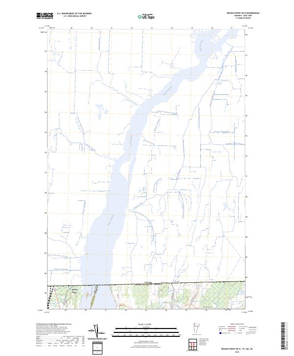 2024 Rouses Point OE N2024 Print · USGSThe northern border of Vermont and New York meets the Canadian frontier at the Rivière Richelieu in this modern survey. Genealogists can trace local heritage along named waterways like Ruisseau Faddentown and near the settlement of Rouses Point.
 - 2024 Map of North Hero, 2024 Print
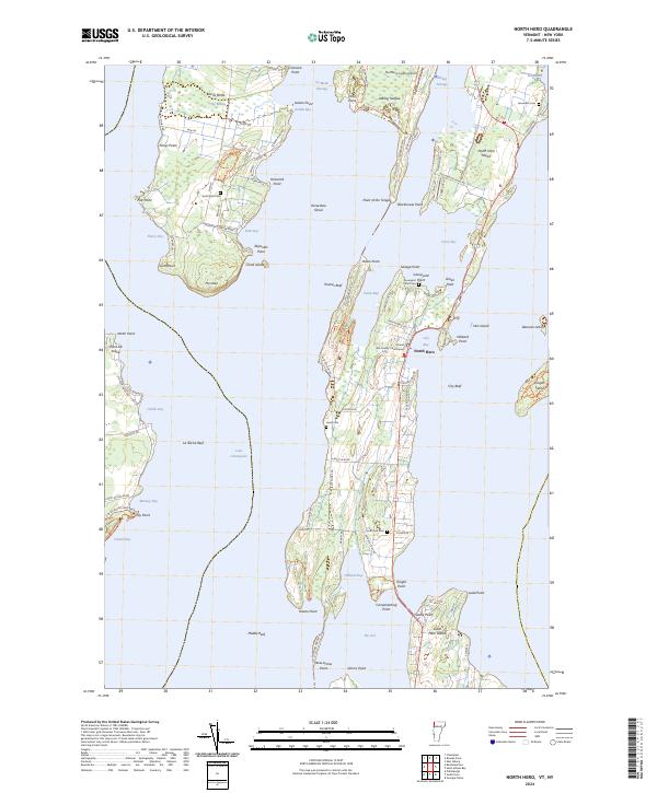 2024 North Hero2024 Print · USGSThe Lake Champlain islands of Grand Isle County are captured here in their contemporary form, showing the enduring settlement patterns of North Hero and Isle La Motte. Researchers can locate family landmarks such as the Grand Isle County Courthouse and several historic cemeteries including Hyde Cem and Jerusalem Cem.
 - 2024 Map of East Alburg, 2024 Print
 2024 East Alburg2024 Print · USGSThe islands and peninsulas of northern Lake Champlain are shown in their contemporary state, where the river delta meets the bay. Researchers can trace the Lamoille Valley Rail Trl or locate several burial grounds like Reynolds Cem and Riverside Cem.
End of results
Showing maps 1-9 of 9
Top cities near Alburgh
- Plattsburgh historical maps
- Plattsburgh historical maps
- Saint Albans City historical maps
- Swanton historical maps
- Champlain historical maps
- Beekmantown historical maps
See more
Top neighborhoods of Alburgh
- East Alburgh historical maps
- Alburgh Center historical maps
- South Alburgh historical maps
- Alburgh Springs historical maps
- Alburgh historical maps
Frequently asked questions
- What are the different types of historical maps available for Alburgh?
- What is the oldest map of Alburgh?
- Where can I purchase historical maps of Alburgh for my home or office?
- Where can I download high-res historical maps of Alburgh?
- Are there historical topographic maps available for Alburgh?
- Is there historical aerial imagery available for Alburgh?
- Where are historical maps of Alburgh sourced from?