2000s (21st Century) Maps of Grand Isle, Vermont
Explore 23 historic maps of Grand Isle from the 2000s (21st Century). These maps offer a rare glimpse into what life looked like during the 2000s — showing old roads, neighborhoods, homes, and landmarks that have changed or disappeared over time.
Whether you're researching your family's past, planning a metal detecting trip, or studying how Grand Isle's landscape evolved across the 2000s, these high-resolution maps are a powerful tool for exploring the history of this region.
- Focus on a specific era: All maps on this page are from the 2000s, giving you a focused view of this time period.
- See what’s changed: Compare century-old streets, trails, and buildings to today's modern landscape using overlays and satellite layers.
- Research with precision: Use these maps for genealogy, historical research, land use analysis, or educational projects.
- View, download, or print: Maps are fully viewable online in high resolution, and can be downloaded or printed for your own records.
Start exploring Grand Isle's history through authentic maps from the 2000s. This is your window into the past.
Grand Isle, VT maps
(23)- 2000 Map of Rouses Point
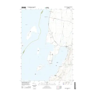
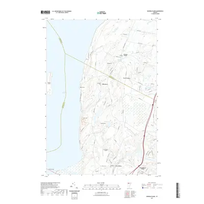
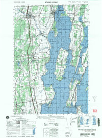 2000 Rouses Point2000 Print · USGSUpper Lake Champlain and the Canadian borderland appear here at the end of the century, showing the intricate shoreline and island communities. Genealogists and local historians can trace family sites at Sacred Heart Cemetery or visit the historic Fort Montgomery (ruins) and St Annes Shrine.
 - 2011 Map of North Hero, 2011 Print
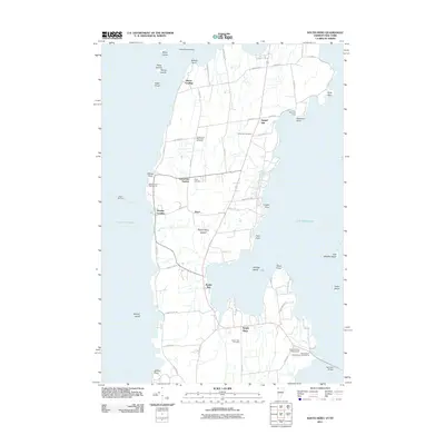
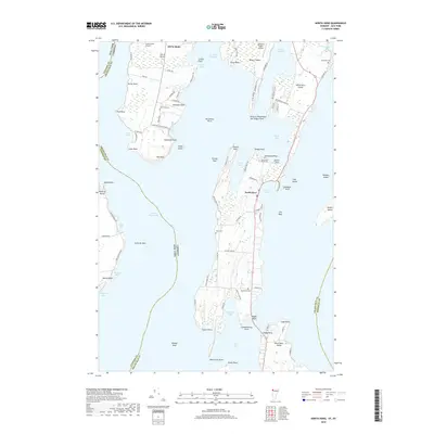
 2011 North Hero2011 Print · USGSCovers Grand Isle, including Plattsburgh, Beekmantown, and other nearby areas
 - 2011 Map of South Hero, 2011 Print
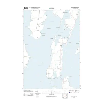
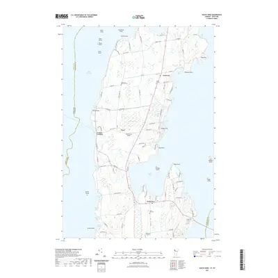
 2011 South Hero2011 Print · USGSCovers Grand Isle, including Plattsburgh, Milton, and other nearby areas
 - 2012 Map of North Hero, 2012 Print
 2012 North Hero2012 Print · USGSCovers Grand Isle, including Plattsburgh, Beekmantown, and other nearby areas
 - 2012 Map of Saint Albans Bay, 2012 Print
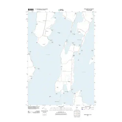
 2012 Saint Albans Bay2012 Print · USGSCovers Grand Isle, including Swanton, North Hero, and other nearby areas
 - 2012 Map of South Hero, 2012 Print
 2012 South Hero2012 Print · USGSCovers Grand Isle, including Plattsburgh, Milton, and other nearby areas
 - 2012 Map of Georgia Plains, 2012 Print
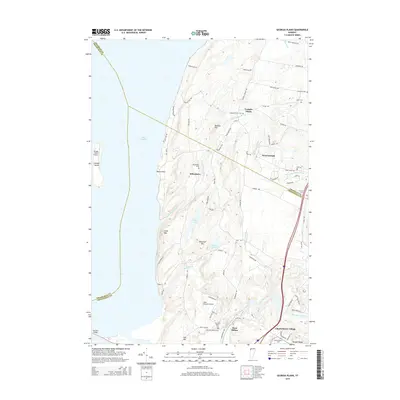
 2012 Georgia Plains2012 Print · USGSCovers Grand Isle, including Milton, South Hero, and other nearby areas
 - 2015 Map of Saint Albans Bay, 2015 Print
 2015 Saint Albans Bay2015 Print · USGSCovers Grand Isle, including Swanton, North Hero, and other nearby areas
 - 2015 Map of North Hero, 2015 Print
 2015 North Hero2015 Print · USGSCovers Grand Isle, including Plattsburgh, Beekmantown, and other nearby areas
 - 2015 Map of Georgia Plains, 2015 Print
 2015 Georgia Plains2015 Print · USGSCovers Grand Isle, including Milton, South Hero, and other nearby areas
 - 2015 Map of South Hero, 2015 Print
 2015 South Hero2015 Print · USGSCovers Grand Isle, including Plattsburgh, Milton, and other nearby areas
 - 2018 Map of North Hero, 2018 Print
 2018 North Hero2018 Print · USGSCovers Grand Isle, including Plattsburgh, Beekmantown, and other nearby areas
 - 2018 Map of South Hero, 2018 Print
 2018 South Hero2018 Print · USGSCovers Grand Isle, including Plattsburgh, Milton, and other nearby areas
 - 2018 Map of Georgia Plains, 2018 Print
 2018 Georgia Plains2018 Print · USGSCovers Grand Isle, including Milton, South Hero, and other nearby areas
 - 2018 Map of Saint Albans Bay, 2018 Print
 2018 Saint Albans Bay2018 Print · USGSCovers Grand Isle, including Swanton, North Hero, and other nearby areas
 - 2021 Map of Saint Albans Bay, 2021 Print
 2021 Saint Albans Bay2021 Print · USGSCovers Grand Isle, including Swanton, North Hero, and other nearby areas
 - 2021 Map of North Hero, 2021 Print
 2021 North Hero2021 Print · USGSCovers Grand Isle, including Plattsburgh, Beekmantown, and other nearby areas
 - 2021 Map of Georgia Plains, 2021 Print
 2021 Georgia Plains2021 Print · USGSCovers Grand Isle, including Milton, South Hero, and other nearby areas
 - 2021 Map of South Hero, 2021 Print
 2021 South Hero2021 Print · USGSCovers Grand Isle, including Plattsburgh, Milton, and other nearby areas
 - 2024 Map of South Hero, 2024 Print
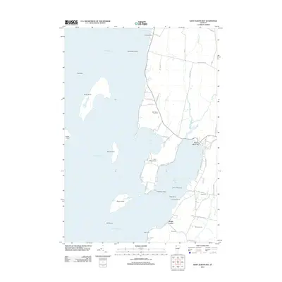
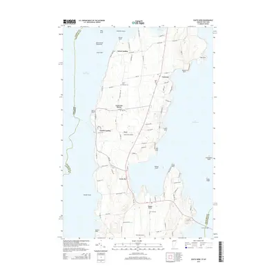
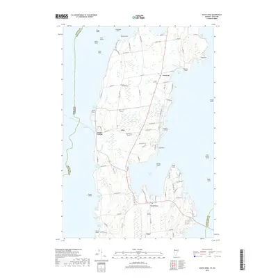
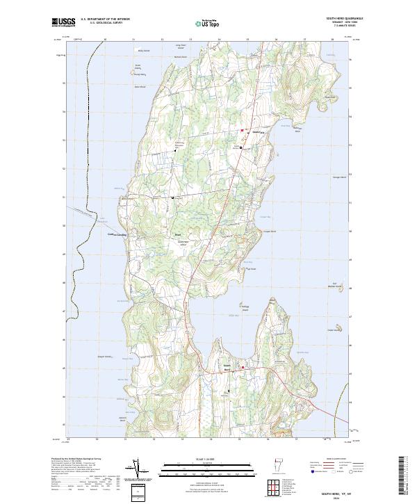 2024 South Hero2024 Print · USGSSouth Hero Island and the surrounding waters of Lake Champlain are mapped here in the early twenty-first century. Researchers can trace local lineage through numerous island burial grounds like Quaker and Macomber Cem and the South Hero Cem.
 - 2024 Map of Georgia Plains, 2024 Print
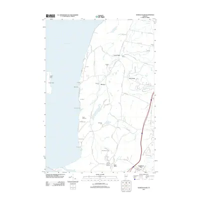
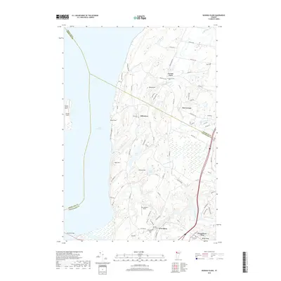
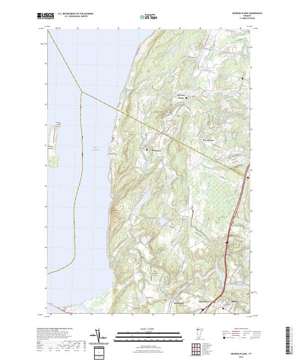 2024 Georgia Plains2024 Print · USGSThe eastern shores of Lake Champlain and the rural communities of Chittenden County are shown in great detail here. Genealogists can trace family lineages through numerous local sites like Miltonboro Cem, Checkerberry Village, and Georgia Plains.
 - 2024 Map of Saint Albans Bay, 2024 Print
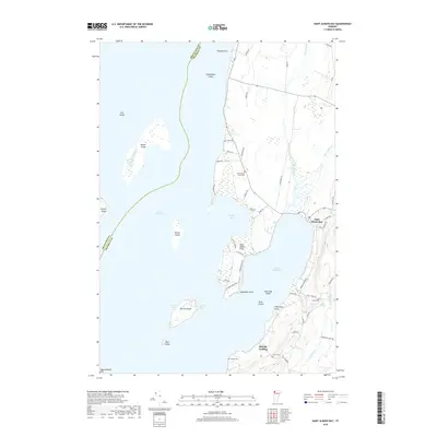
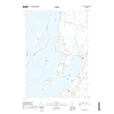
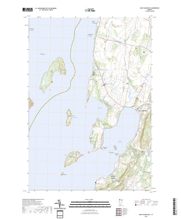 2024 Saint Albans Bay2024 Print · USGSFranklin County's shoreline along Lake Champlain is captured here in detail, showing the settled points and islands of the Vermont coast. Researchers can locate family burial sites like Evarts Cem and Hurlbut Cem or trace the docks at Melville Landing.
 - 2024 Map of North Hero, 2024 Print
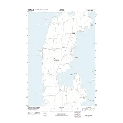
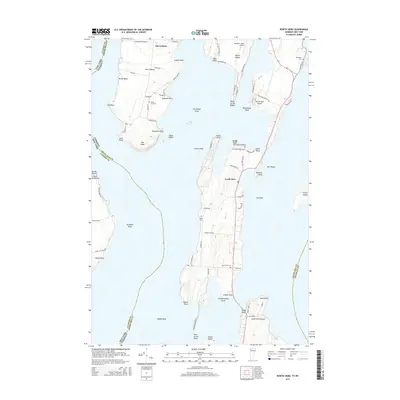
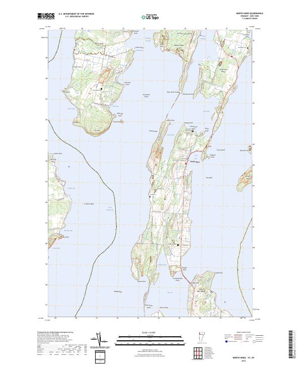 2024 North Hero2024 Print · USGSThe Lake Champlain islands of Grand Isle County are captured here in their contemporary form, showing the enduring settlement patterns of North Hero and Isle La Motte. Researchers can locate family landmarks such as the Grand Isle County Courthouse and several historic cemeteries including Hyde Cem and Jerusalem Cem.
End of results
Showing maps 1-23 of 23
Top cities near Grand Isle
- Burlington historical maps
- South Burlington historical maps
- Plattsburgh historical maps
- Colchester historical maps
- Plattsburgh historical maps
- Essex historical maps
See more
Top neighborhoods of Grand Isle
- Adams Landing historical maps
- Gordon Landing historical maps
- Grand Isle Station historical maps
- Pearl historical maps
Frequently asked questions
- What are the different types of historical maps available for Grand Isle?
- What is the oldest map of Grand Isle?
- Where can I purchase historical maps of Grand Isle for my home or office?
- Where can I download high-res historical maps of Grand Isle?
- Are there historical topographic maps available for Grand Isle?
- Is there historical aerial imagery available for Grand Isle?
- Where are historical maps of Grand Isle sourced from?