Old Maps of Thetford, Vermont for Academic Research
Study the evolution of Thetford with 34 high-resolution historic maps. Whether you're teaching, researching, or modeling changes in land use, these maps provide essential visual documentation of urban, environmental, and geographic change.
- Analyze long-term change: Track patterns in development, transportation, and natural features.
- Ideal for environmental or urban studies: Support academic projects with primary historical map data.
- Use in the classroom or lab: Educators and researchers rely on these maps to bring historical context to life.
These maps are a powerful tool for teaching, research, and visualizing how Thetford has changed over the decades.
Thetford, VT maps
(34)- 1896 Map of Strafford
 1896 Strafford1896 Print · USGSOrange County and the upper White River valley are seen here during the height of the Vermont copper mining era. Local historians can locate specific operations like Copper Flat and Copperfield, or trace the rural landscape near South Strafford and Rices Mills.6 unique versions available
 - 1931 Map of Mt. Cube
 1931 Mt. Cube1931 Print · USGSThe Connecticut River valley and the foothills of the White Mountains are shown here as they appeared in the early 1930s. Genealogists and hikers can trace the Appalachian Trail, locate rural schools like Blood Brook Sch, or find family sites near Quinttown.3 unique versions available
 - 1933 Map of Mt. Cube
 1933 Mt. Cube1933 Print · USGSThe Upper Connecticut River valley is shown in the early thirties, where rail and river networks linked New Hampshire and Vermont. Genealogists and local historians can trace schoolhouses like Stetson Sch, the remote Quinttown settlement, and the historic Mt Cube House.6 unique versions available
 - 1944 Map of Strafford, 1949 Print
 1944 Strafford1949 Print · USGSVermont's mining and rural heritage are frozen in time on this mid-century survey of the hills between the White and Ompompanoosuc Rivers. Genealogists and historians can trace the foundations of Strafford, locate the Joseph Smith Monument, or find industrial sites like the Elizabeth Mine.5 unique versions available
 - 1950 Map of Glens Falls
 1950 Glens Falls1950 Print · USGSThe Adirondacks and the Green Mountains meet in this mid-century survey of the New York and Vermont borderlands. Researchers can trace the industrial rail corridors of the Rutland RR and Delaware & Hudson RR connecting Glens Falls, Rutland, and the shores of Lake George.
 - 1956 Map of Glens Falls, 1968 Print
 1956 Glens Falls1968 Print · USGSUpper New York and the Vermont mountains are captured here in the mid-fifties, showing the rugged rail-and-river network of the Northeast. Researchers can trace the paths of the Delaware and Hudson RR and Rutland RR as they wind through valley towns like Poultney and Whitehall.3 unique versions available
 - 1959 Map of Glens Falls
 1959 Glens Falls1959 Print · USGSUpper New York and Vermont are captured here during the late 1950s, a period of transition for these mountain communities. Researchers can trace the legacy of the region's river-and-rail economy through landmarks like Lake George, Saratoga Springs, and Killington Peak.2 unique versions available
 - 1964 Map of Glens Falls
 1964 Glens Falls1964 Print · USGSThe tri-state borderlands of New York, Vermont, and New Hampshire appear here in the mid-1960s. Researchers can trace the rail routes of the Rutland RR and find historic sites like Ticonderoga and Saratoga National Historical Park.
 - 1981 Map of South Strafford
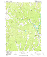 1981 South Strafford1981 Print · USGSThe rural uplands of Orange County come into focus in the early eighties, documenting a landscape shaped by mining and the Ompompanoosuc River. Researchers can trace the industrial footprint of the Elizabeth Mine, locate family plots at Kibling Cem, or find the Covered Bridge at Union Village.2 unique versions available
 - 1981 Map of Lyme
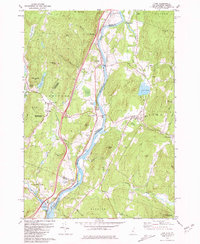 1981 Lyme1981 Print · USGSThe Upper Valley of the Connecticut River comes alive in the early eighties, showcasing the rural character of Vermont and New Hampshire. Genealogists and local historians can trace family ties through Lyme Cem, Highland Cem, and the historic Thetford Academy.3 unique versions available
 - 1981 Map of Vershire
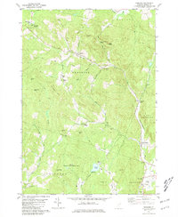 1981 Vershire1981 Print · USGSOrange County's hill country is captured in the early 1980s, showcasing a landscape of dispersed hamlets and mountain farmsteads. Genealogists and historians can trace old property access via Old City Road and locate rural landmarks such as Vershire Center and the Mountain Sch.4 unique versions available
 - 1981 Map of Fairlee
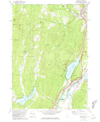 1981 Fairlee1981 Print · USGSThe Connecticut River valley in the early eighties shows a landscape of lakeside leisure and transit corridors. Researchers can trace the Boston and Maine rail line, locate St Martins Chapel, and find local landmarks like the Drive-in Theater and Bear Ridge Raceway.3 unique versions available
 - 1985 Map of Rutland, 1988 Print
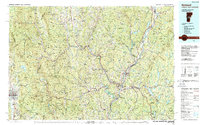 1985 Rutland1988 Print · USGSThe Upper Valley of the mid-1980s comes to life along the winding Connecticut River as it divides the Green Mountain and Granite states. Historians can trace the industrial rail hubs of White River Junction and the paths of the Appalachian Trail and Long Trail.
 - 1996 Map of Lyme, 2001 Print
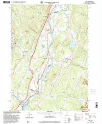 1996 Lyme2001 Print · USGSThe Upper Valley river towns of Lyme and Thetford are captured here in the mid-nineties, showing the rural character of the Vermont and New Hampshire border. Researchers can locate family landmarks like the Thetford Academy, the Covered Bridge, and the Wilmot Cem near High Peak.
 - 2012 Map of Vershire, 2012 Print
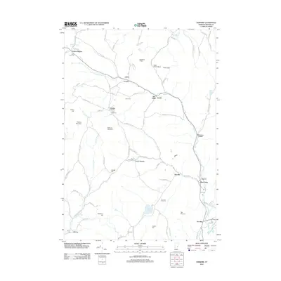 2012 Vershire2012 Print · USGSOrange County's rural character is preserved in this 2012 survey of the Ompompanoosuc River valley. Researchers can pinpoint numerous family burial grounds including Spear Norris Cem and Krook Cem, or trace the legacy of hamlets like Brimstone Corner and Beanville.
 - 2012 Map of Lyme, 2012 Print
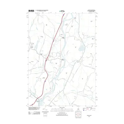 2012 Lyme2012 Print · USGSLyme and Thetford sat at a vital river crossing during the early twenty-first century, preserving a network of hillside farms and valley hamlets. Researchers can trace family history through sites like Evergreen Rest Cem, Thetford Hill, and Five Corners.
 - 2012 Map of Fairlee, 2012 Print
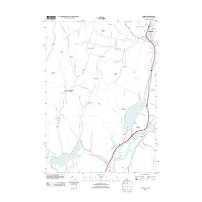 2012 Fairlee2012 Print · USGSThe Connecticut River valley and the recreational shores of Lake Morey are documented here as they appeared in 2012. Researchers can trace local heritage through numerous family and community burial grounds like Whiting Family Cem and the Blood Brook School Cem.
 - 2012 Map of South Strafford, 2012 Print
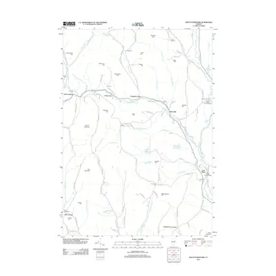 2012 South Strafford2012 Print · USGSEastern Vermont at the start of the 2010s remains a landscape of historic river crossings and hillside settlements. Genealogists and historians can locate numerous small burial grounds like Kibling Cem and landmark spans such as the Union Village Covered Bridge.
 - 2015 Map of Lyme, 2015 Print
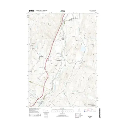 2015 Lyme2015 Print · USGSThe Upper Valley on both sides of the Connecticut River is shown here during a period of modern stability. Researchers can trace family history through numerous local burial grounds like East Thetford Cem or visit landmarks like the Edgell Bridge and Post Pond.
 - 2015 Map of Fairlee, 2015 Print
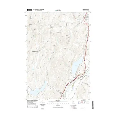 2015 Fairlee2015 Print · USGSThe Connecticut River valley at the border of Vermont and New Hampshire is shown here during a period of modern rural stability. Genealogists and local historians can trace family burial sites like Kinderhood Cem and Wild Hill Cem or explore the landscape around Lake Morey.
 - 2015 Map of Vershire, 2015 Print
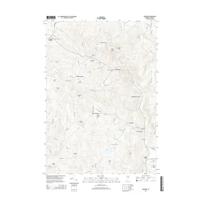 2015 Vershire2015 Print · USGSThe Orange County highlands come into focus in the mid-2010s, showing a traditional Vermont landscape of dispersed hill settlements and river valleys. Genealogists can locate numerous local burial sites including Warren Cem and Krook Cem, while tracing the rural road networks connecting Brimstone Corner and South Vershire.
 - 2015 Map of South Strafford, 2015 Print
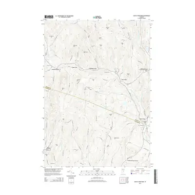 2015 South Strafford2015 Print · USGSVermont's rugged hills and river valleys are on full display in this 2015 record of the Orange and Windsor County border. Local historians can trace the paths between South Strafford and Thetford Center, locating landmarks like the Union Village Covered Bridge and the Sawnee Bean Cem.
 - 2018 Map of Lyme, 2018 Print
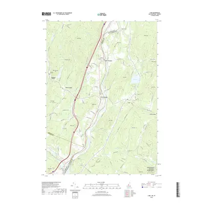 2018 Lyme2018 Print · USGSThe Connecticut River valley at the Vermont and New Hampshire border is captured here during the late twenty-teens. Researchers can trace ancestral lines through numerous burial sites like Knox Cem or Wilmot Cem, and locate landmarks such as the Edgell Bridge.
 - 2018 Map of South Strafford, 2018 Print
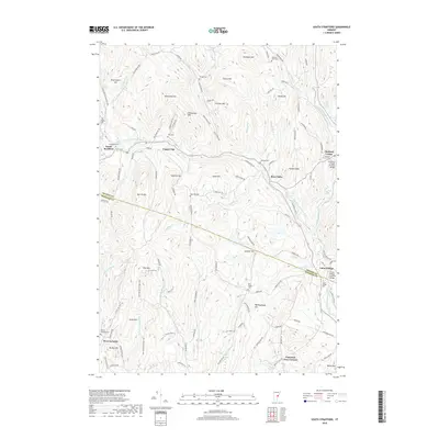 2018 South Strafford2018 Print · USGSThe Orange and Windsor county line cuts through this section of Vermont during the late twenty-teens, showing a landscape defined by the Ompompanoosuc River system. Researchers can trace historic local infrastructure and family ties through features like the Union Village Covered Bridge, Rices Mills, and Evergreen Cem.
 - 2018 Map of Vershire, 2018 Print
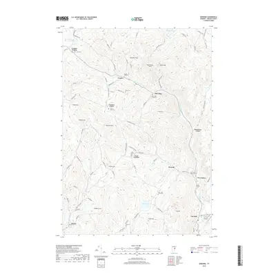 2018 Vershire2018 Print · USGSOrange County's upland farms and river valleys are captured here in the late twenty-teens, showing a landscape of scattered hamlets and family-run cemeteries. Researchers can trace ancestral locations from Old City to Brimstone Corner or locate historic burial sites like Warren Cem and Krook Meadow Cem.
Showing maps 1-25 of 34
Top cities near Thetford
- Lebanon historical maps
- Hanover historical maps
- Hartford historical maps
- Enfield historical maps
- Haverhill historical maps
- Williamstown historical maps
See more
Top neighborhoods of Thetford
- East Thetford historical maps
- North Thetford historical maps
- Thetford Center historical maps
- Post Mills historical maps
- Rices Mills historical maps
- Union Village historical maps
See more
Frequently asked questions
- What are the different types of historical maps available for Thetford?
- What is the oldest map of Thetford?
- Where can I purchase historical maps of Thetford for my home or office?
- Where can I download high-res historical maps of Thetford?
- Are there historical topographic maps available for Thetford?
- Is there historical aerial imagery available for Thetford?
- Where are historical maps of Thetford sourced from?