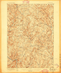
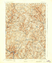
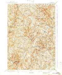
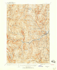
1896 Map of Strafford
USGS Topo · Published 1896About this map
Strafford and the surrounding townships of Orange and Windsor Counties appear here at a peak of late nineteenth-century agrarian and industrial development. The terrain is defined by a dense network of hills and watercourses, most notably the Ompompanoosuc River and the First Branch White River, which provided power and drainage for numerous small settlements. The copper mining history of the region is evident in the presence of Copperfield, Copper Flat, and Copperas Hill, highlighting an era when these peaks were central to Vermont's mineral extraction economy.
Find a feature on this map
91 named features on this map. Tap any name to fly to it.
Don’t see what you’re looking for? This feature index may not catch every label — zoom into the map to look around manually.
Map Details
Editions of this 1896 Strafford Map
6 editions found
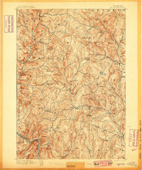
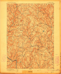
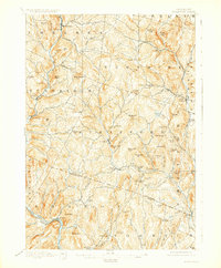
Other maps of this area
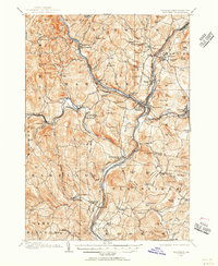
1906 · Hanover
USGS Topo · 1:62,500
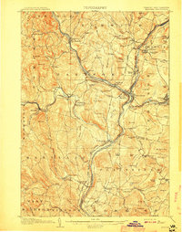
1908 · Hanover
USGS Topo · 1:62,500
1911 · Woodstock
USGS Topo · 1:62,500
1913 · Woodstock
USGS Topo · 1:62,500
1919 · Royalton
USGS Topo · 1:62,500
1922 · Barre
USGS Topo · 1:48,000
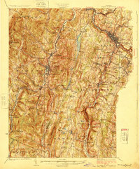
1924 · Barre
USGS Topo · 1:62,500
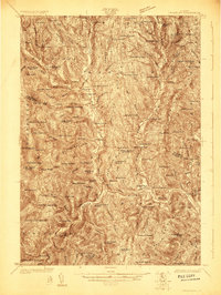
1924 · Randolph
USGS Topo · 1:48,000
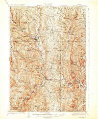
1926 · Randolph
USGS Topo · 1:62,500
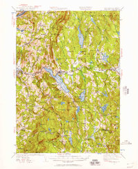
1927 · Mascoma
USGS Topo · 1:62,500