2000s (21st Century) Maps of Rutland County, Vermont
Explore 151 historic maps of Rutland County from the 2000s (21st Century). These maps offer a rare glimpse into what life looked like during the 2000s — showing old roads, neighborhoods, homes, and landmarks that have changed or disappeared over time.
Whether you're researching your family's past, planning a metal detecting trip, or studying how Rutland County's landscape evolved across the 2000s, these high-resolution maps are a powerful tool for exploring the history of this region.
- Focus on a specific era: All maps on this page are from the 2000s, giving you a focused view of this time period.
- See what’s changed: Compare century-old streets, trails, and buildings to today's modern landscape using overlays and satellite layers.
- Research with precision: Use these maps for genealogy, historical research, land use analysis, or educational projects.
- View, download, or print: Maps are fully viewable online in high resolution, and can be downloaded or printed for your own records.
Start exploring Rutland County's history through authentic maps from the 2000s. This is your window into the past.
Rutland County, VT maps
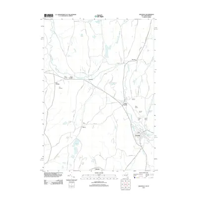
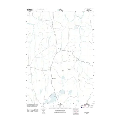
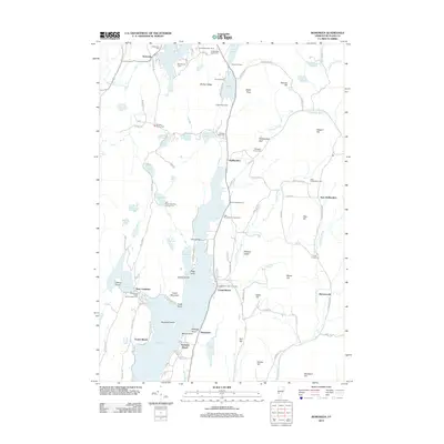
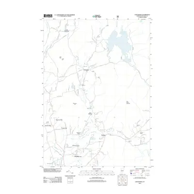
(151)- 2011 Map of West Pawlet, 2011 Print
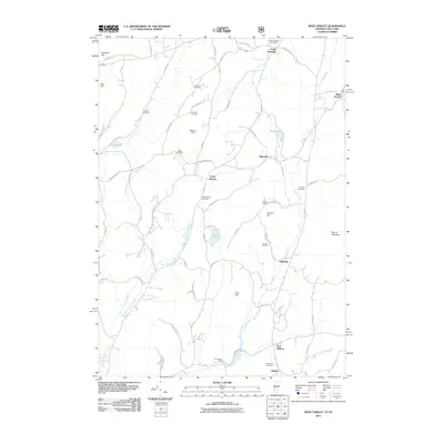 2011 West Pawlet2011 Print · USGSCovers Rutland County, including Granville, Hartford, and other nearby areas
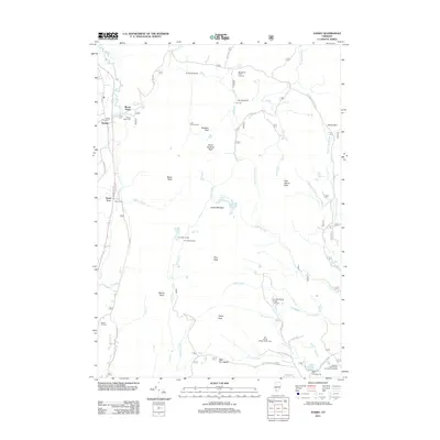
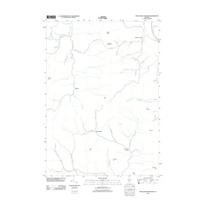
 - 2011 Map of Orwell, 2011 Print
 2011 Orwell2011 Print · USGSCovers Rutland County, including Ticonderoga, Shoreham, and other nearby areas
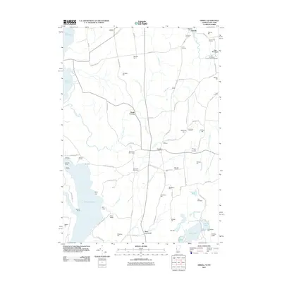
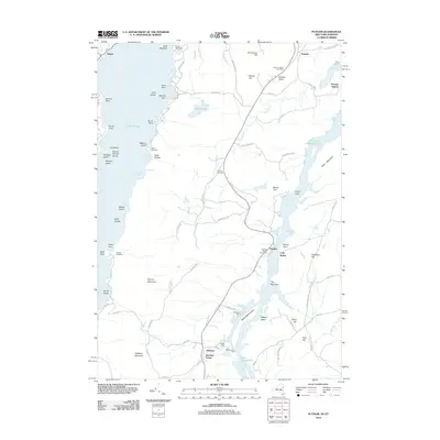
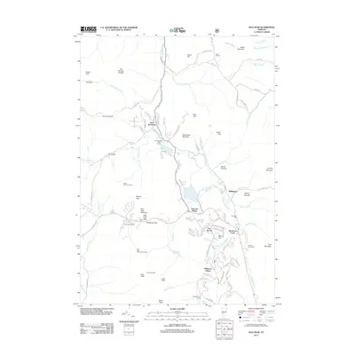
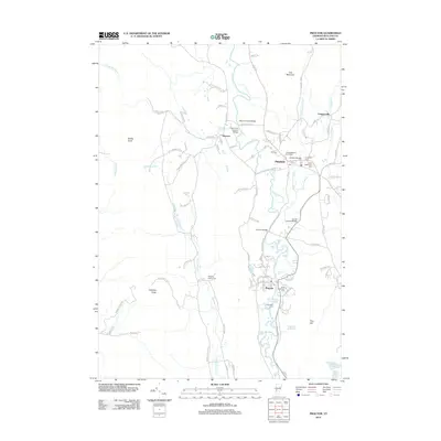
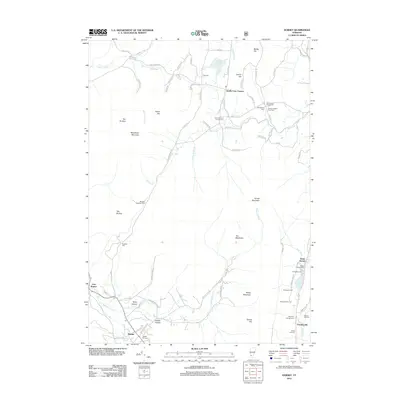
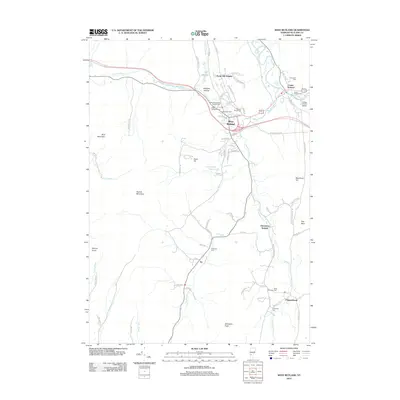
 - 2011 Map of Whitehall, 2011 Print
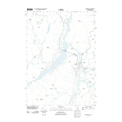 2011 Whitehall2011 Print · USGSCovers Rutland County, including Fort Ann, Whitehall, and other nearby areas
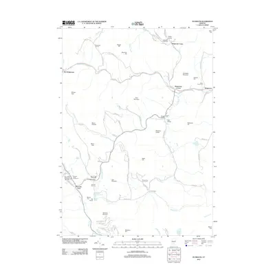
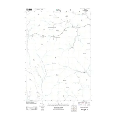
 - 2012 Map of Thorn Hill, 2012 Print
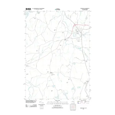 2012 Thorn Hill2012 Print · USGSCovers Rutland County, including Whitehall, Fair Haven, and other nearby areas
 - 2012 Map of Granville, 2012 Print
 2012 Granville2012 Print · USGSCovers Rutland County, including Granville, Fort Ann, and other nearby areas
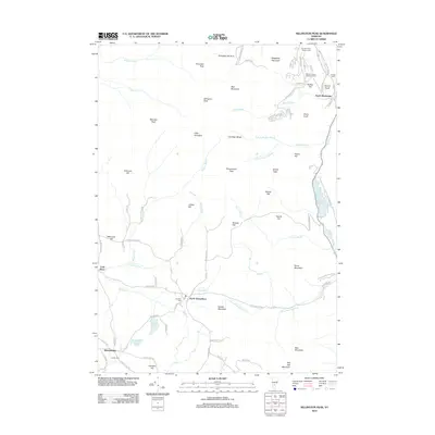
 - 2012 Map of Putnam, 2012 Print
 2012 Putnam2012 Print · USGSCovers Rutland County, including Hague, Putnam, and other nearby areas
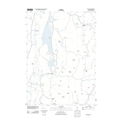
 - 2012 Map of Plymouth, 2012 Print
 2012 Plymouth2012 Print · USGSCovers Rutland County, including Woodstock, Killington, and other nearby areas
 - 2012 Map of Killington Peak, 2012 Print
 2012 Killington Peak2012 Print · USGSCovers Rutland County, including Killington, Mendon, and other nearby areas
 - 2012 Map of Sudbury, 2012 Print
 2012 Sudbury2012 Print · USGSCovers Rutland County, including Brandon, Shoreham, and other nearby areas
 - 2012 Map of Pico Peak, 2012 Print
 2012 Pico Peak2012 Print · USGSCovers Rutland County, including Killington, Chittenden, and other nearby areas
 - 2012 Map of Brandon, 2012 Print
 2012 Brandon2012 Print · USGSCovers Rutland County, including Brandon, Chittenden, and other nearby areas
 - 2012 Map of Wallingford, 2012 Print
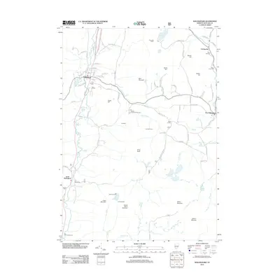 2012 Wallingford2012 Print · USGSCovers Rutland County, including Clarendon, Wallingford, and other nearby areas
 - 2012 Map of Bomoseen, 2012 Print
 2012 Bomoseen2012 Print · USGSCovers Rutland County, including Fair Haven, Castleton, and other nearby areas
 - 2012 Map of Danby, 2012 Print
 2012 Danby2012 Print · USGSCovers Rutland County, including Dorset, Danby, and other nearby areas
 - 2012 Map of Proctor, 2012 Print
 2012 Proctor2012 Print · USGSCovers Rutland County, including Rutland City, West Rutland, and other nearby areas
 - 2012 Map of Mount Carmel, 2012 Print
 2012 Mount Carmel2012 Print · USGSCovers Rutland County, including Chittenden, Pittsford, and other nearby areas
 - 2012 Map of Chittenden, 2012 Print
 2012 Chittenden2012 Print · USGSCovers Rutland County, including Rutland City, Chittenden, and other nearby areas
 - 2012 Map of Delectable Mountain, 2012 Print
 2012 Delectable Mountain2012 Print · USGSCovers Rutland County, including Killington, Barnard, and other nearby areas
 - 2012 Map of Dorset, 2012 Print
 2012 Dorset2012 Print · USGSCovers Rutland County, including Dorset, Pawlet, and other nearby areas
 - 2012 Map of Wells, 2012 Print
 2012 Wells2012 Print · USGSCovers Rutland County, including Granville, Poultney, and other nearby areas
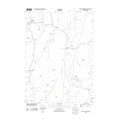
 - 2012 Map of Middletown Springs, 2012 Print
 2012 Middletown Springs2012 Print · USGSCovers Rutland County, including Clarendon, Wallingford, and other nearby areas
 - 2012 Map of Pawlet, 2012 Print
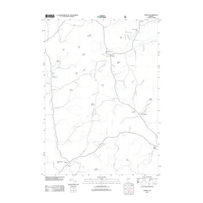 2012 Pawlet2012 Print · USGSCovers Rutland County, including Pawlet, Rupert, and other nearby areas
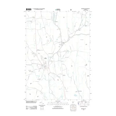
 - 2012 Map of Benson, 2012 Print
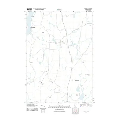 2012 Benson2012 Print · USGSCovers Rutland County, including Whitehall, Fair Haven, and other nearby areas
 - 2012 Map of West Rutland, 2012 Print
 2012 West Rutland2012 Print · USGSCovers Rutland County, including Rutland City, Poultney, and other nearby areas
 - 2012 Map of Ludlow, 2012 Print
 2012 Ludlow2012 Print · USGSCovers Rutland County, including Ludlow, Ludlow Village, and other nearby areas
Showing maps 1-25 of 151
Top cities of Rutland County
- Rutland City historical maps
- Brandon historical maps
- Poultney historical maps
- Fair Haven historical maps
- Clarendon historical maps
- Wallingford historical maps
See more
Frequently asked questions
- What are the different types of historical maps available for Rutland County?
- What is the oldest map of Rutland County?
- Where can I purchase historical maps of Rutland County for my home or office?
- Where can I download high-res historical maps of Rutland County?
- Are there historical topographic maps available for Rutland County?
- Is there historical aerial imagery available for Rutland County?
- Where are historical maps of Rutland County sourced from?