2010s Maps of Rutland County, Vermont
Explore 95 historic maps of Rutland County from the 2010s. These maps offer a rare glimpse into what life looked like during the 2010s — showing old roads, neighborhoods, homes, and landmarks that have changed or disappeared over time.
Whether you're researching your family's past, planning a metal detecting trip, or studying how Rutland County's landscape evolved across the 2010s, these high-resolution maps are a powerful tool for exploring the history of this region.
- Focus on a specific era: All maps on this page are from the 2010s, giving you a focused view of this time period.
- See what’s changed: Compare century-old streets, trails, and buildings to today's modern landscape using overlays and satellite layers.
- Research with precision: Use these maps for genealogy, historical research, land use analysis, or educational projects.
- View, download, or print: Maps are fully viewable online in high resolution, and can be downloaded or printed for your own records.
Start exploring Rutland County's history through authentic maps from the 2010s. This is your window into the past.
Rutland County, VT maps
(95)- 2011 Map of West Pawlet, 2011 Print
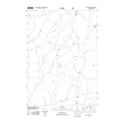 2011 West Pawlet2011 Print · USGSThe rural borderlands between New York and Vermont are captured here during a period of modern stability. Genealogists and local historians can trace legacy family sites across numerous burial grounds like Burch Cemetery and Glasier Cemetery or locate old industrial nodes at Chamberlin Mills.
 - 2011 Map of Orwell, 2011 Print
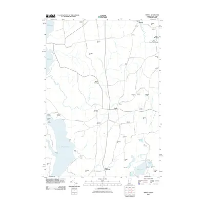 2011 Orwell2011 Print · USGSAgricultural life and lakefront commerce define the Orwell region in the early twenty-first century. Genealogists can locate family landmarks like the Rich Family Cemetery or the East Shoreham Covered Railroad Bridge, while mariners can trace the shoreline to Orwell Landing.
 - 2011 Map of Whitehall, 2011 Print
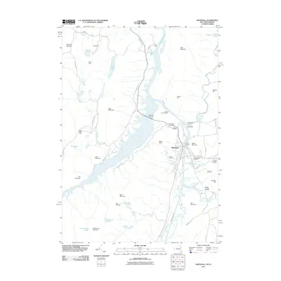 2011 Whitehall2011 Print · USGSThe canal-side village of Whitehall is captured here in the early twenty-first century as it sits at the head of Lake Champlain. Researchers can trace local lineage through several cemeteries, including Boardman Cemetery and Greenmont Cemetery, or locate old landmarks like Ore Bed Hill.
 - 2012 Map of Thorn Hill, 2012 Print
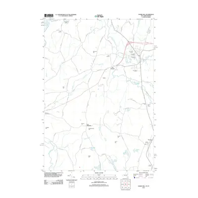 2012 Thorn Hill2012 Print · USGSThe New York and Vermont borderlands appear here in the early twenty-first century as a network of river-valley farms and high ridges. Genealogists can trace family names through numerous burial sites like Cedar Grove Cemetery, Sciota Cemetery, and the Hampton Flats Cemetery.
 - 2012 Map of Granville, 2012 Print
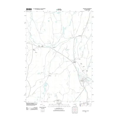 2012 Granville2012 Print · USGSThe Granville area at the start of the 2010s shows a landscape of river-valley hamlets and deep-rooted agricultural land. Genealogists can trace family names through several burial sites like Elmwood Cemetery and North Granville Cemetery or find Hicks Orchard.
 - 2012 Map of Putnam, 2012 Print
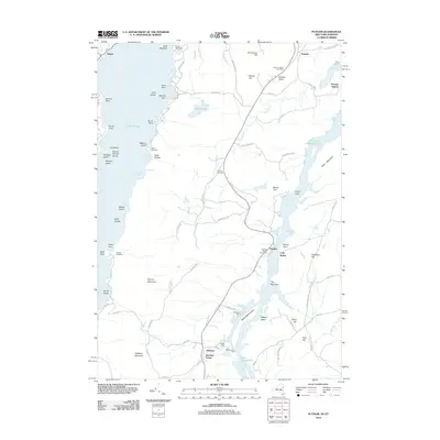 2012 Putnam2012 Print · USGSThe narrow land between Lake George and Lake Champlain is captured here in the early twenty-first century. Genealogists can locate family landmarks like Putnam Cemetery or trace the old routes of Military Rd and Doner Tpke.
 - 2012 Map of Plymouth, 2012 Print
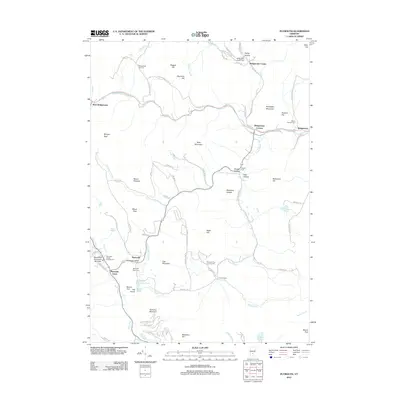 2012 Plymouth2012 Print · USGSWindsor County's highland valleys and small settlements are captured here in the early twenty-first century. Genealogists and local historians can locate numerous burial sites and family-named landmarks like Topliff Cem, Hale Hollow, and the historic Plymouth Notch.
 - 2012 Map of Killington Peak, 2012 Print
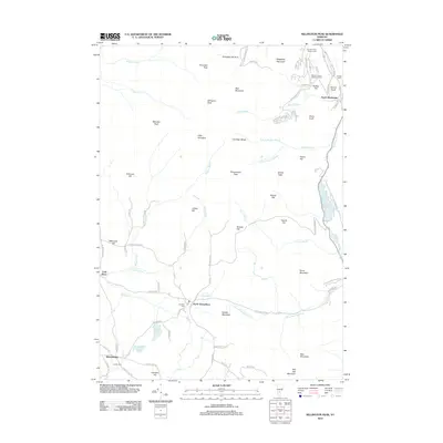 2012 Killington Peak2012 Print · USGSVermont's high peaks and deep mountain valleys are captured here in the early 2010s. Researchers can trace local heritage through sites like Northam Cem, the historic North Shrewsbury, and the rugged roads surrounding Shrewsbury Peak.
 - 2012 Map of Sudbury, 2012 Print
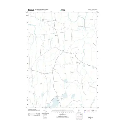 2012 Sudbury2012 Print · USGSThe Champlain Valley's rural character is preserved in this 2012 Vermont survey, showcasing a landscape of family-named cemeteries and winding waterways. Genealogists can trace family landmarks like G F Emmons Cem and the iconic Shoreham Covered Railroad Bridge.
 - 2012 Map of Pico Peak, 2012 Print
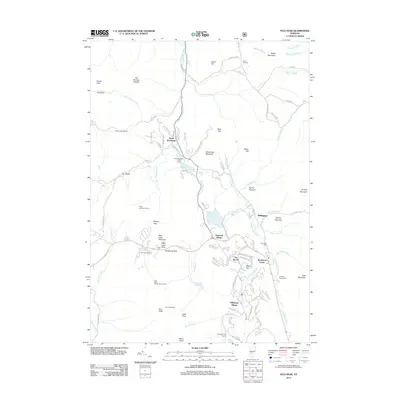 2012 Pico Peak2012 Print · USGSVermont's mountain resort culture and valley settlements are captured here in the early twenty-first century. Genealogists and hikers can trace family sites like the Anthony Family Cem and follow the Appalachian Trl past Pico Peak.
 - 2012 Map of Brandon, 2012 Print
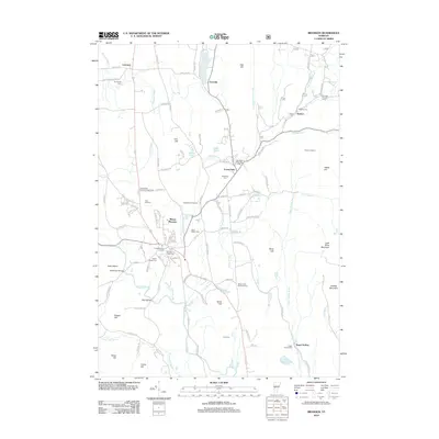 2012 Brandon2012 Print · USGSIn the Rutland County hills during the early 2010s, the landscape around Brandon remains defined by its iron-working heritage and historic burial grounds. Genealogists can trace family sites at Forestdale Cem or Brookside Cem and find the Forestdale Iron Furnace.
 - 2012 Map of Wallingford, 2012 Print
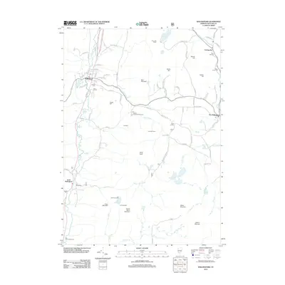 2012 Wallingford2012 Print · USGSRutland County's mountain settlements and valley villages are captured here in the early twenty-first century. Genealogists and local historians can trace burial sites from Laurel Glen Cem to Hill Roberts Cem, or locate landmarks like the Ice Beds and Cuttingsville.
 - 2012 Map of Bomoseen, 2012 Print
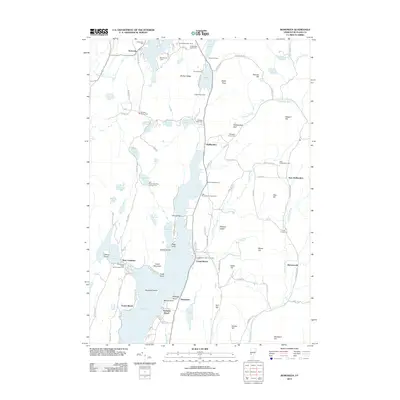 2012 Bomoseen2012 Print · USGSThe Lake Bomoseen area in the early 2010s reveals a landscape of deep-rooted lakeside communities and family-named landmarks. Trace local history through the Bradley Family Cem, the curious Float Bridge, and settlements like Hortonville or West Castleton.
 - 2012 Map of Danby, 2012 Print
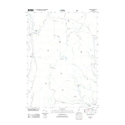 2012 Danby2012 Print · USGSThe Vermont mountains near Danby and Mount Tabor are captured here in the early twenty-first century. Researchers can trace family history at Young Cem or Bowen Hill Cem and explore the high country around Griffith Lake and Mad Tom Notch.
 - 2012 Map of Proctor, 2012 Print
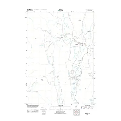 2012 Proctor2012 Print · USGSThe valley of the Otter Cr is captured here in the early twenty-first century, showing the established communities of Pittsford and Proctor. Researchers can trace multiple historic cemeteries and landmark crossings, including the Hammond Covered Bridge and Sutherland Falls.
 - 2012 Map of Mount Carmel, 2012 Print
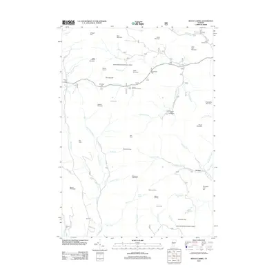 2012 Mount Carmel2012 Print · USGSThe Green Mountains of Rutland County are shown here in the early twenty-first century, detailing a landscape of high peaks and forest hideaways. Researchers can locate remote burial sites like Oliver Reynolds Cem and traces of mountain life at Michigan or Goshen Four Corners.
 - 2012 Map of Chittenden, 2012 Print
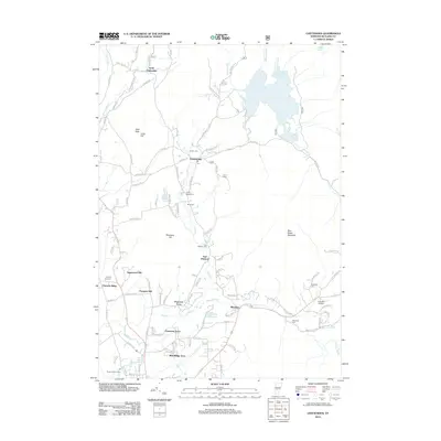 2012 Chittenden2012 Print · USGSVermont's Green Mountain foothills are showcased here in the early twenty-first century, centered on the expansive Chittenden Reservoir. Genealogists and local historians can trace family locations through several burial grounds, including East Pittsford Cem and Cheney Hill Cem, while locating landmarks like Camp Sangamon.
 - 2012 Map of Delectable Mountain, 2012 Print
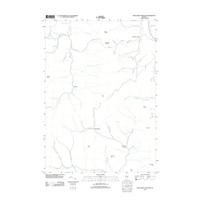 2012 Delectable Mountain2012 Print · USGSVermont's high ridges and small hamlets are mapped here in the early twenty-first century, showing the rural character of the Green Mountain interior. Researchers can trace local landmarks like Morgan Corners, Nye Cem, and the path of the Appalachian Trl.
 - 2012 Map of Dorset, 2012 Print
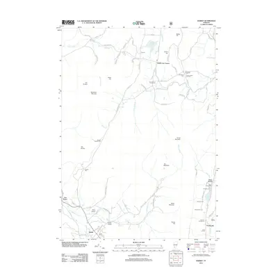 2012 Dorset2012 Print · USGSThe Taconic Mountains and the upper Mettawee River valley are shown in detail here during the early twenty-first century. Researchers can locate numerous family burial grounds and small hamlets, including the Quaker-Staples Farm Cem and the settlement of Dorset Hollow.
 - 2012 Map of Wells, 2012 Print
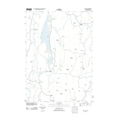 2012 Wells2012 Print · USGSThe Vermont-New York border region in the early twenty-first century is defined by the deep valley of Lake Saint Catherine. Researchers can trace old family sites and burial grounds like Barden Cem, Blossom Cem, and the small settlement of Burnham Hollow.
 - 2012 Map of Middletown Springs, 2012 Print
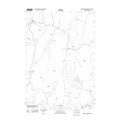 2012 Middletown Springs2012 Print · USGSMiddletown Springs and the surrounding Rutland County valleys are captured here in the early twenty-first century. Genealogists and local historians can trace family land via numerous burial sites like Wood Norton Cem and Cook Cem or locate old homesteads near Tinmouth and Scottsville.
 - 2012 Map of Pawlet, 2012 Print
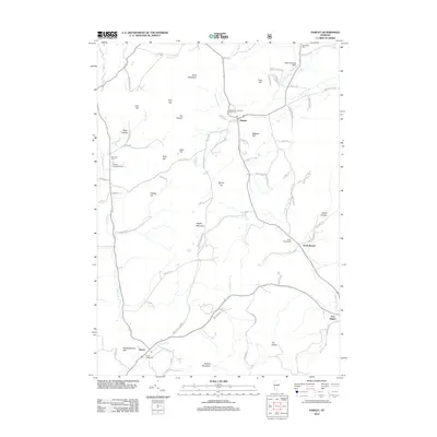 2012 Pawlet2012 Print · USGSRutland County's agricultural valleys and timbered ridges are captured here in the early twenty-first century. Genealogists can locate several historic burial sites like Bardwell Cem and North Rupert Cem, while tracing the course of the Mettawee River.
 - 2012 Map of Benson, 2012 Print
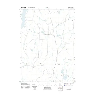 2012 Benson2012 Print · USGSBenson and West Haven are captured in this modern survey of the Lake Champlain borderlands. Genealogists and historians can locate numerous family and community burial sites, including Fair View Cem, Carter Street Cem, and Hackett Dam Cem.
 - 2012 Map of West Rutland, 2012 Print
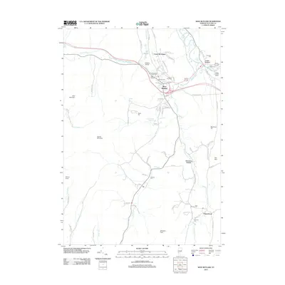 2012 West Rutland2012 Print · USGSRutland County at the start of the 2010s reveals a landscape of river valleys and significant mountain peaks. Genealogists can trace a high concentration of local heritage sites, from Saint Stanislaus Kostka Cem in West Rutland to the rural Edmunds Cem near Chippenhook.
 - 2012 Map of Ludlow, 2012 Print
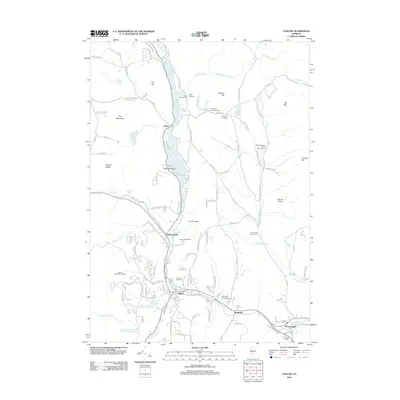 2012 Ludlow2012 Print · USGSThe Black River valley and the eastern slopes of the Green Mountains are shown in the early twenty-first century. Genealogists can trace burial grounds at Tyson Cem and Hillcrest Cem or explore the corridor between Ludlow and Proctorsville.
Showing maps 1-25 of 95
Top cities of Rutland County
- Rutland City historical maps
- Brandon historical maps
- Poultney historical maps
- Fair Haven historical maps
- Clarendon historical maps
- Wallingford historical maps
See more
Frequently asked questions
- What are the different types of historical maps available for Rutland County?
- What is the oldest map of Rutland County?
- Where can I purchase historical maps of Rutland County for my home or office?
- Where can I download high-res historical maps of Rutland County?
- Are there historical topographic maps available for Rutland County?
- Is there historical aerial imagery available for Rutland County?
- Where are historical maps of Rutland County sourced from?