2000s (21st Century) Maps of Norwich, Vermont
Explore 30 historic maps of Norwich from the 2000s (21st Century). These maps offer a rare glimpse into what life looked like during the 2000s — showing old roads, neighborhoods, homes, and landmarks that have changed or disappeared over time.
Whether you're researching your family's past, planning a metal detecting trip, or studying how Norwich's landscape evolved across the 2000s, these high-resolution maps are a powerful tool for exploring the history of this region.
- Focus on a specific era: All maps on this page are from the 2000s, giving you a focused view of this time period.
- See what’s changed: Compare century-old streets, trails, and buildings to today's modern landscape using overlays and satellite layers.
- Research with precision: Use these maps for genealogy, historical research, land use analysis, or educational projects.
- View, download, or print: Maps are fully viewable online in high resolution, and can be downloaded or printed for your own records.
Start exploring Norwich's history through authentic maps from the 2000s. This is your window into the past.
Norwich, VT maps
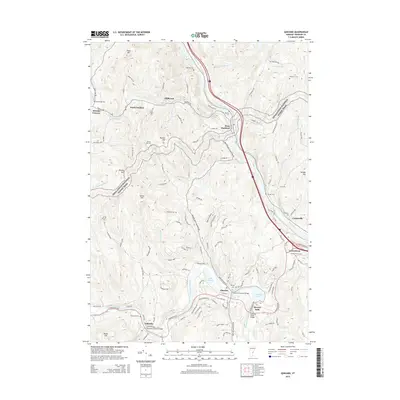
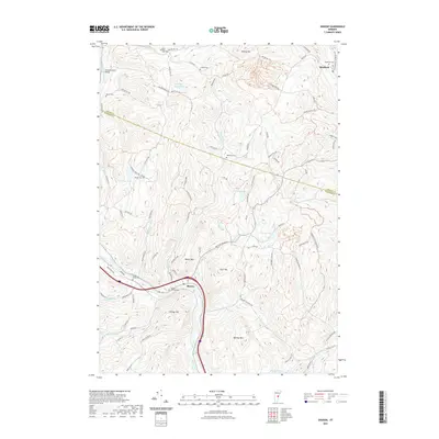
(30)- 2012 Map of Quechee, 2012 Print
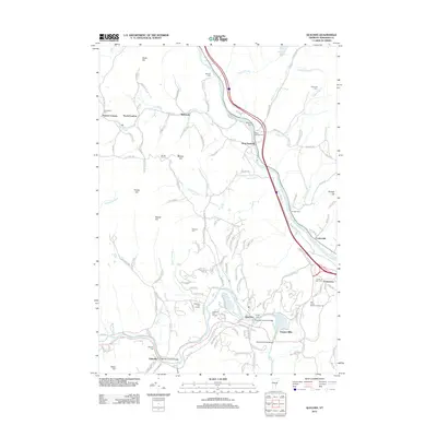 2012 Quechee2012 Print · USGSCovers Norwich, including Hartford, Hartland, and other nearby areas
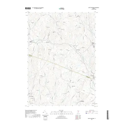
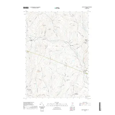
 - 2012 Map of Sharon, 2012 Print
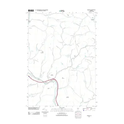 2012 Sharon2012 Print · USGSCovers Norwich, including Royalton, Sharon, and other nearby areas
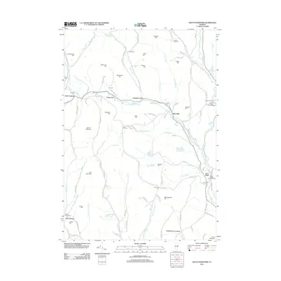
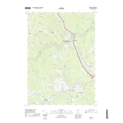
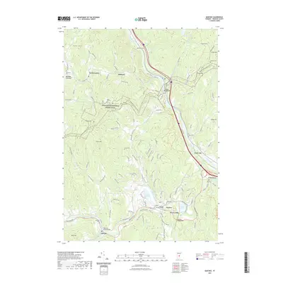
 - 2012 Map of Enfield, 2012 Print
 2012 Enfield2012 Print · USGSCovers Norwich, including Lebanon, Hanover, and other nearby areas
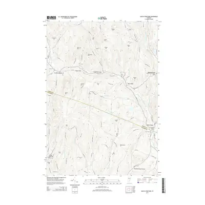
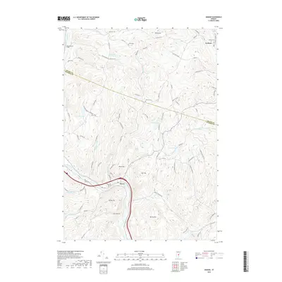
 - 2012 Map of Hanover, 2012 Print
 2012 Hanover2012 Print · USGSCovers Norwich, including Lebanon, Hanover, and other nearby areas
 - 2012 Map of Lyme, 2012 Print
 2012 Lyme2012 Print · USGSCovers Norwich, including Hanover, Lyme, and other nearby areas
 - 2012 Map of South Strafford, 2012 Print
 2012 South Strafford2012 Print · USGSCovers Norwich, including Sharon, Strafford, and other nearby areas
 - 2015 Map of Hanover, 2015 Print
 2015 Hanover2015 Print · USGSCovers Norwich, including Lebanon, Hanover, and other nearby areas
 - 2015 Map of Lyme, 2015 Print
 2015 Lyme2015 Print · USGSCovers Norwich, including Hanover, Lyme, and other nearby areas
 - 2015 Map of Enfield, 2015 Print
 2015 Enfield2015 Print · USGSCovers Norwich, including Lebanon, Hanover, and other nearby areas
 - 2015 Map of Sharon, 2015 Print
 2015 Sharon2015 Print · USGSCovers Norwich, including Royalton, Sharon, and other nearby areas
 - 2015 Map of South Strafford, 2015 Print
 2015 South Strafford2015 Print · USGSCovers Norwich, including Sharon, Strafford, and other nearby areas
 - 2015 Map of Quechee, 2015 Print
 2015 Quechee2015 Print · USGSCovers Norwich, including Hartford, Hartland, and other nearby areas
 - 2018 Map of Lyme, 2018 Print
 2018 Lyme2018 Print · USGSCovers Norwich, including Hanover, Lyme, and other nearby areas
 - 2018 Map of Hanover, 2018 Print
 2018 Hanover2018 Print · USGSCovers Norwich, including Lebanon, Hanover, and other nearby areas
 - 2018 Map of South Strafford, 2018 Print
 2018 South Strafford2018 Print · USGSCovers Norwich, including Sharon, Strafford, and other nearby areas
 - 2018 Map of Quechee, 2018 Print
 2018 Quechee2018 Print · USGSCovers Norwich, including Hartford, Hartland, and other nearby areas
 - 2018 Map of Sharon, 2018 Print
 2018 Sharon2018 Print · USGSCovers Norwich, including Royalton, Sharon, and other nearby areas
 - 2018 Map of Enfield, 2018 Print
 2018 Enfield2018 Print · USGSCovers Norwich, including Lebanon, Hanover, and other nearby areas
 - 2021 Map of Enfield, 2021 Print
 2021 Enfield2021 Print · USGSCovers Norwich, including Lebanon, Hanover, and other nearby areas
 - 2021 Map of Hanover, 2021 Print
 2021 Hanover2021 Print · USGSCovers Norwich, including Lebanon, Hanover, and other nearby areas
 - 2021 Map of Lyme, 2021 Print
 2021 Lyme2021 Print · USGSCovers Norwich, including Hanover, Lyme, and other nearby areas
 - 2021 Map of Sharon, 2021 Print
 2021 Sharon2021 Print · USGSCovers Norwich, including Royalton, Sharon, and other nearby areas
 - 2021 Map of South Strafford, 2021 Print
 2021 South Strafford2021 Print · USGSCovers Norwich, including Sharon, Strafford, and other nearby areas
 - 2021 Map of Quechee, 2021 Print
 2021 Quechee2021 Print · USGSCovers Norwich, including Hartford, Hartland, and other nearby areas
 - 2024 Map of Sharon, 2024 Print
 2024 Sharon2024 Print · USGSThe hills of Windsor and Orange counties come into focus in this contemporary survey of the White River valley. Genealogists can locate numerous family burial grounds including Strafford Cem, Dewey Cem, and Broad Brook Cem near the winding river.
Showing maps 1-25 of 30
Top cities near Norwich
- Lebanon historical maps
- Hanover historical maps
- Hartford historical maps
- Randolph historical maps
- Enfield historical maps
- Hartland historical maps
See more
Top neighborhoods of Norwich
- Pompanoosuc historical maps
- Lewiston historical maps
- Bragg historical maps
- Goodrich Four Corners historical maps
- New Boston historical maps
- West Norwich historical maps
See more
Frequently asked questions
- What are the different types of historical maps available for Norwich?
- What is the oldest map of Norwich?
- Where can I purchase historical maps of Norwich for my home or office?
- Where can I download high-res historical maps of Norwich?
- Are there historical topographic maps available for Norwich?
- Is there historical aerial imagery available for Norwich?
- Where are historical maps of Norwich sourced from?