Old Maps of Norwich, Vermont for Metal Detecting
Plan your next treasure hunt with 53 historic maps of Norwich. Find old homesites, ghost towns, trails, and gathering spots that may be lost to time — perfect for identifying promising metal detecting locations.
- Locate forgotten sites: Uncover places like long-lost settlements, abandoned rail lines, or gathering spots.
- Plan better hunts: Use map overlays combined with LiDAR or satellite views to narrow in on historically rich areas.
- Made for detectorists: Thousands of hobbyists use these maps to discover relics, coins, and hidden history.
Use these historic maps to boost your research and find new opportunities beneath the surface of Norwich.
Norwich, VT maps
(53)- 1896 Map of Strafford
 1896 Strafford1896 Print · USGSOrange County and the upper White River valley are seen here during the height of the Vermont copper mining era. Local historians can locate specific operations like Copper Flat and Copperfield, or trace the rural landscape near South Strafford and Rices Mills.6 unique versions available
 - 1906 Map of Hanover, 1956 Print
 1906 Hanover1956 Print · USGSThe Upper Connecticut River Valley at the turn of the century is a hub of rail activity and collegiate life. Researchers can trace the early footprints of Dartmouth College or locate vanished rail infrastructure at White River Junction and Deweys Mills.2 unique versions available
 - 1908 Map of Hanover
 1908 Hanover1908 Print · USGSThe Upper Valley at the dawn of the twentieth century was a vital junction of Vermont and New Hampshire rail lines and river commerce. Researchers can trace the early layout of Dartmouth College, the rail yards of White River Junction, and numerous rural schoolhouses like Podunk School.7 unique versions available
 - 1927 Map of Mascoma, 1957 Print
 1927 Mascoma1957 Print · USGSGrafton County's hill towns and valleys are caught in detail during the late 1920s, showing the settled character of the New Hampshire interior. Genealogists can trace family names through landmarks like Washburn Corner or locate the distinctive Lower Shaker Village and Upper Shaker Village.3 unique versions available
 - 1931 Map of Mt. Cube
 1931 Mt. Cube1931 Print · USGSThe Connecticut River valley and the foothills of the White Mountains are shown here as they appeared in the early 1930s. Genealogists and hikers can trace the Appalachian Trail, locate rural schools like Blood Brook Sch, or find family sites near Quinttown.3 unique versions available
 - 1932 Map of Mascoma
 1932 Mascoma1932 Print · USGSGrafton County in the early thirties shows a unique landscape of communal settlements and rugged upland farms. Genealogists can trace family roots through numerous local schoolhouses and rural hamlets like Hanover Center and Lower Shaker Village.5 unique versions available
 - 1933 Map of Mt. Cube
 1933 Mt. Cube1933 Print · USGSThe Upper Connecticut River valley is shown in the early thirties, where rail and river networks linked New Hampshire and Vermont. Genealogists and local historians can trace schoolhouses like Stetson Sch, the remote Quinttown settlement, and the historic Mt Cube House.6 unique versions available
 - 1944 Map of Strafford, 1949 Print
 1944 Strafford1949 Print · USGSVermont's mining and rural heritage are frozen in time on this mid-century survey of the hills between the White and Ompompanoosuc Rivers. Genealogists and historians can trace the foundations of Strafford, locate the Joseph Smith Monument, or find industrial sites like the Elizabeth Mine.5 unique versions available
 - 1950 Map of Glens Falls
 1950 Glens Falls1950 Print · USGSThe Adirondacks and the Green Mountains meet in this mid-century survey of the New York and Vermont borderlands. Researchers can trace the industrial rail corridors of the Rutland RR and Delaware & Hudson RR connecting Glens Falls, Rutland, and the shores of Lake George.
 - 1956 Map of Glens Falls, 1968 Print
 1956 Glens Falls1968 Print · USGSUpper New York and the Vermont mountains are captured here in the mid-fifties, showing the rugged rail-and-river network of the Northeast. Researchers can trace the paths of the Delaware and Hudson RR and Rutland RR as they wind through valley towns like Poultney and Whitehall.3 unique versions available
 - 1959 Map of Glens Falls
 1959 Glens Falls1959 Print · USGSUpper New York and Vermont are captured here during the late 1950s, a period of transition for these mountain communities. Researchers can trace the legacy of the region's river-and-rail economy through landmarks like Lake George, Saratoga Springs, and Killington Peak.2 unique versions available
 - 1959 Map of Hanover, 1961 Print
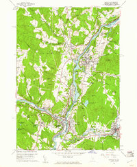 1959 Hanover1961 Print · USGSThe Upper Valley at the close of the fifties reveals a landscape defined by the Connecticut River and the halls of Dartmouth College. Genealogists and researchers can locate family plots in Hillside Cem or trace the early rail paths of the Central Vermont through White River Junction.5 unique versions available
 - 1959 Map of Quechee, 1961 Print
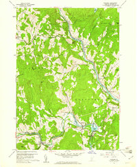 1959 Quechee1961 Print · USGSEastern Windsor County in the late fifties shows a landscape of river-valley industry and upland farms. Genealogists and hikers can trace the Appalachian Trail through West Hartford or locate family plots at Bunker Hill Cem and Savage Cem.5 unique versions available
 - 1964 Map of Glens Falls
 1964 Glens Falls1964 Print · USGSThe tri-state borderlands of New York, Vermont, and New Hampshire appear here in the mid-1960s. Researchers can trace the rail routes of the Rutland RR and find historic sites like Ticonderoga and Saratoga National Historical Park.
 - 1981 Map of Sharon
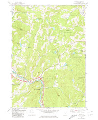 1981 Sharon1981 Print · USGSThe White River valley in the early eighties shows a landscape of mountain forests and river-bottom transport. You can locate family landmarks like the Joseph Smith Monument, the Button Cem, and the old Covered Bridge.2 unique versions available
 - 1981 Map of South Strafford
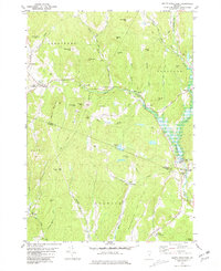 1981 South Strafford1981 Print · USGSThe rural uplands of Orange County come into focus in the early eighties, documenting a landscape shaped by mining and the Ompompanoosuc River. Researchers can trace the industrial footprint of the Elizabeth Mine, locate family plots at Kibling Cem, or find the Covered Bridge at Union Village.2 unique versions available
 - 1981 Map of Lyme
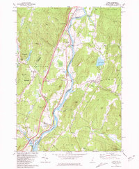 1981 Lyme1981 Print · USGSThe Upper Valley of the Connecticut River comes alive in the early eighties, showcasing the rural character of Vermont and New Hampshire. Genealogists and local historians can trace family ties through Lyme Cem, Highland Cem, and the historic Thetford Academy.3 unique versions available
 - 1984 Map of Canaan
 1984 Canaan1984 Print · USGSGrafton County in the early eighties shows a landscape of clustered village centers and emerging wildlife management areas. Genealogists and local historians can trace family roots through the settlements of Canaan Street, Hanover Center, and the historic Shaker Hill district.3 unique versions available
 - 1985 Map of Rutland, 1988 Print
 1985 Rutland1988 Print · USGSThe Upper Valley of the mid-1980s comes to life along the winding Connecticut River as it divides the Green Mountain and Granite states. Historians can trace the industrial rail hubs of White River Junction and the paths of the Appalachian Trail and Long Trail.
 - 1996 Map of Quechee, 2000 Print
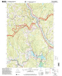 1996 Quechee2000 Print · USGSWindsor County in the late nineties showcases a landscape where the Ottauquechee River meets ancient colonial routes and deep forest preserves. Researchers can trace family history through numerous local sites like Centertown Cem, Deweys Mills, and the Taftsville covered bridge.
 - 1996 Map of Enfield, 2001 Print
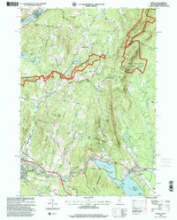 1996 Enfield2001 Print · USGSGrafton County during the mid-1990s shows a landscape defined by the rise of Moose Mountain and the sprawling waters of Mascoma Lake. Researchers can trace the heritage of Enfield near the Shaker Bridge or follow the Appalachian Trail through the high woods of the White Mountain National Forest.
 - 1996 Map of Hanover, 2001 Print
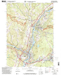 1996 Hanover2001 Print · USGSThe Upper Valley comes to life in the late nineties, centered on the historic academic and industrial hubs along the Connecticut River. Researchers can trace the winding Appalachian Scenic Trail or locate family roots at Hillside Cemetery and St Barnabas Ch.
 - 1996 Map of Lyme, 2001 Print
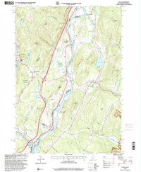 1996 Lyme2001 Print · USGSThe Upper Valley river towns of Lyme and Thetford are captured here in the mid-nineties, showing the rural character of the Vermont and New Hampshire border. Researchers can locate family landmarks like the Thetford Academy, the Covered Bridge, and the Wilmot Cem near High Peak.
 - 2012 Map of Quechee, 2012 Print
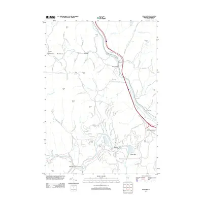 2012 Quechee2012 Print · USGSWindsor County’s river valleys and upland farms are captured here in the early twenty-first century as historic hamlets like Quechee and West Hartford evolve. Genealogists and local historians can trace family plots at West Hartford Cemetery or locate the landmark Taftsville Covered Bridge and Quechee Gorge Bridge.
 - 2012 Map of Sharon, 2012 Print
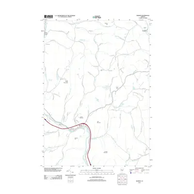 2012 Sharon2012 Print · USGSVermont's White River valley and the hills near the Windsor-Orange county line appear in high detail during the early 2010s. Researchers can trace ancestral roots at the Joseph Smith Monument and across numerous burial sites like Strafford Cem and Robinson Cem.
Showing maps 1-25 of 53
Top cities near Norwich
- Lebanon historical maps
- Hanover historical maps
- Hartford historical maps
- Randolph historical maps
- Enfield historical maps
- Hartland historical maps
See more
Top neighborhoods of Norwich
- Pompanoosuc historical maps
- Lewiston historical maps
- Bragg historical maps
- Goodrich Four Corners historical maps
- New Boston historical maps
- West Norwich historical maps
See more
Frequently asked questions
- What are the different types of historical maps available for Norwich?
- What is the oldest map of Norwich?
- Where can I purchase historical maps of Norwich for my home or office?
- Where can I download high-res historical maps of Norwich?
- Are there historical topographic maps available for Norwich?
- Is there historical aerial imagery available for Norwich?
- Where are historical maps of Norwich sourced from?