2000s (21st Century) Maps of Stockbridge, Vermont
Explore 20 historic maps of Stockbridge from the 2000s (21st Century). These maps offer a rare glimpse into what life looked like during the 2000s — showing old roads, neighborhoods, homes, and landmarks that have changed or disappeared over time.
Whether you're researching your family's past, planning a metal detecting trip, or studying how Stockbridge's landscape evolved across the 2000s, these high-resolution maps are a powerful tool for exploring the history of this region.
- Focus on a specific era: All maps on this page are from the 2000s, giving you a focused view of this time period.
- See what’s changed: Compare century-old streets, trails, and buildings to today's modern landscape using overlays and satellite layers.
- Research with precision: Use these maps for genealogy, historical research, land use analysis, or educational projects.
- View, download, or print: Maps are fully viewable online in high resolution, and can be downloaded or printed for your own records.
Start exploring Stockbridge's history through authentic maps from the 2000s. This is your window into the past.
Stockbridge, VT maps
(20)- 2012 Map of Bethel, 2012 Print
 2012 Bethel2012 Print · USGSCovers Stockbridge, including Royalton, Barnard, and other nearby areas
 - 2012 Map of Pico Peak, 2012 Print
 2012 Pico Peak2012 Print · USGSCovers Stockbridge, including Killington, Chittenden, and other nearby areas
 - 2012 Map of Delectable Mountain, 2012 Print
 2012 Delectable Mountain2012 Print · USGSCovers Stockbridge, including Killington, Barnard, and other nearby areas
 - 2012 Map of Rochester, 2012 Print
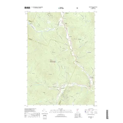
 2012 Rochester2012 Print · USGSCovers Stockbridge, including Chittenden, Bethel, and other nearby areas
 - 2015 Map of Delectable Mountain, 2015 Print
 2015 Delectable Mountain2015 Print · USGSCovers Stockbridge, including Killington, Barnard, and other nearby areas
 - 2015 Map of Pico Peak, 2015 Print
 2015 Pico Peak2015 Print · USGSCovers Stockbridge, including Killington, Chittenden, and other nearby areas
 - 2015 Map of Rochester, 2015 Print
 2015 Rochester2015 Print · USGSCovers Stockbridge, including Chittenden, Bethel, and other nearby areas
 - 2015 Map of Bethel, 2015 Print
 2015 Bethel2015 Print · USGSCovers Stockbridge, including Royalton, Barnard, and other nearby areas
 - 2018 Map of Rochester, 2018 Print
 2018 Rochester2018 Print · USGSCovers Stockbridge, including Chittenden, Bethel, and other nearby areas
 - 2018 Map of Bethel, 2018 Print
 2018 Bethel2018 Print · USGSCovers Stockbridge, including Royalton, Barnard, and other nearby areas
 - 2018 Map of Delectable Mountain, 2018 Print
 2018 Delectable Mountain2018 Print · USGSCovers Stockbridge, including Killington, Barnard, and other nearby areas
 - 2018 Map of Pico Peak, 2018 Print
 2018 Pico Peak2018 Print · USGSCovers Stockbridge, including Killington, Chittenden, and other nearby areas
 - 2021 Map of Bethel, 2021 Print
 2021 Bethel2021 Print · USGSCovers Stockbridge, including Royalton, Barnard, and other nearby areas
 - 2021 Map of Delectable Mountain, 2021 Print
 2021 Delectable Mountain2021 Print · USGSCovers Stockbridge, including Killington, Barnard, and other nearby areas
 - 2021 Map of Pico Peak, 2021 Print
 2021 Pico Peak2021 Print · USGSCovers Stockbridge, including Killington, Chittenden, and other nearby areas
 - 2021 Map of Rochester, 2021 Print
 2021 Rochester2021 Print · USGSCovers Stockbridge, including Chittenden, Bethel, and other nearby areas
 - 2024 Map of Rochester, 2024 Print
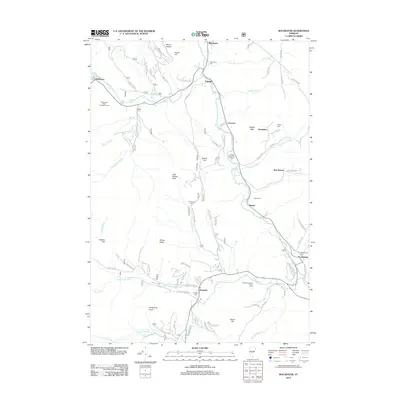
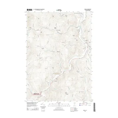
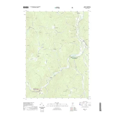
 2024 Rochester2024 Print · USGSThe Green Mountains in the mid-2020s are defined by narrow river valley settlements and high-elevation forest. Researchers can trace local lineage through the Betsy Bartlett Grave, the Twitchell Settlement, and family burial sites like Angell Cem and Tupper Cem.
 - 2024 Map of Bethel, 2024 Print
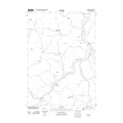
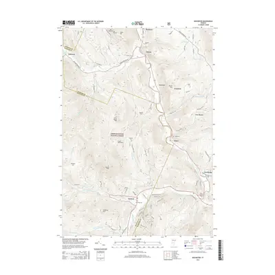
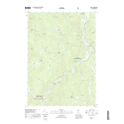
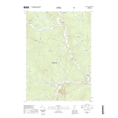
 2024 Bethel2024 Print · USGSWindsor County’s river valleys and steep ridges are captured in high detail during the early 2020s. Researchers can trace ancestral sites at Sylvester Plot Cem and Lympus Cem or follow the river through Gaysville and Lilliesville.
 - 2024 Map of Delectable Mountain, 2024 Print
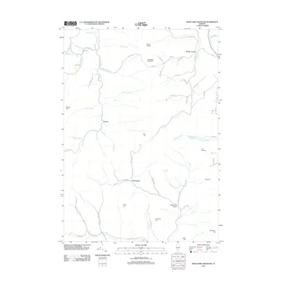
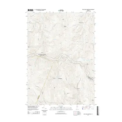
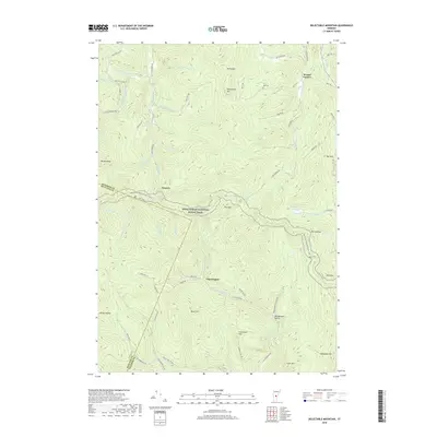
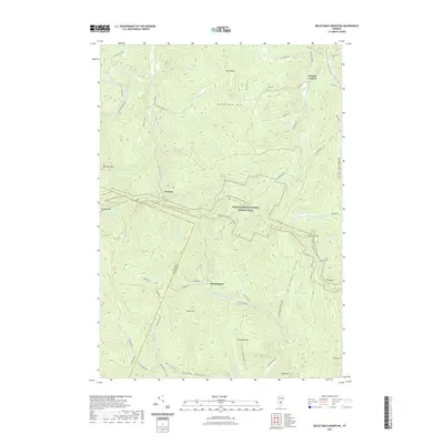
 2024 Delectable Mountain2024 Print · USGSHigh in the Green Mountains of Windsor County, this recent survey captures a landscape of remote hollows and high-elevation trails. Genealogists and hikers can trace the paths between Notown, Chateauguay, and Nye Cem along the Appalachian National Scenic Trail.
 - 2024 Map of Pico Peak, 2024 Print
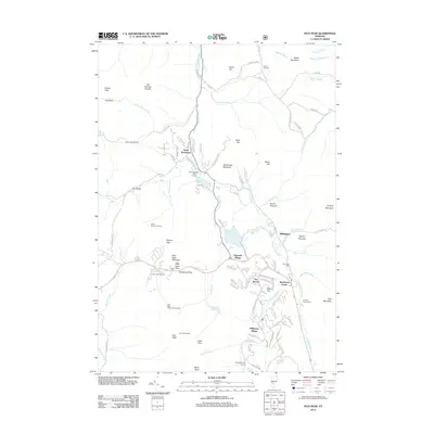
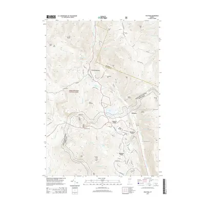
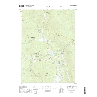
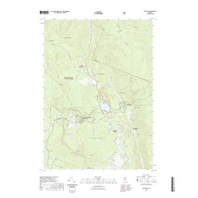
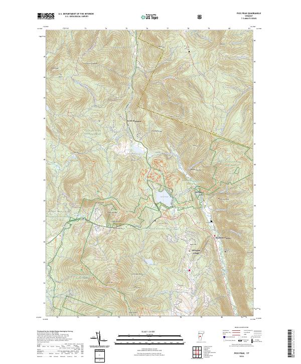 2024 Pico Peak2024 Print · USGSThe Green Mountains of Vermont come alive in this modern survey of the high peaks and valley settlements. Genealogists and historians can trace the locations of the Anthony Family Cemetery and S Hill Cemetery near Killington Village and Sherburne Center.
End of results
Showing maps 1-20 of 20
Top cities near Stockbridge
- Rutland City historical maps
- Randolph historical maps
- Hartland historical maps
- Woodstock Village historical maps
- Woodstock historical maps
- Royalton historical maps
See more
Top neighborhoods of Stockbridge
- Gaysville historical maps
- Riverside historical maps
- New Boston historical maps
- Notown historical maps
- Stockbridge Common Historic District historical maps
Frequently asked questions
- What are the different types of historical maps available for Stockbridge?
- What is the oldest map of Stockbridge?
- Where can I purchase historical maps of Stockbridge for my home or office?
- Where can I download high-res historical maps of Stockbridge?
- Are there historical topographic maps available for Stockbridge?
- Is there historical aerial imagery available for Stockbridge?
- Where are historical maps of Stockbridge sourced from?