Old Maps of Midway, Virginia for Hiking & Exploration
Hike through history with 15 historic maps of Midway. Explore old trails, ghost towns, and forgotten backroads — perfect for outdoor adventurers and local explorers.
- Rediscover forgotten places: Map out old mining camps, roads, and footpaths that no longer exist on modern maps.
- Layer with modern tools: Combine with LiDAR or satellite views to plan hikes through historical terrain.
- Made for exploration: Popular among hikers, overlanders, and local history lovers.
Use these maps to find adventure and explore the hidden past of Midway.
Midway, VA maps
(15)- 1892 Map of Harrisonburg, 1901 Print
 1892 Harrisonburg1901 Print · USGSThe Shenandoah Valley during the 1890s reveals a landscape of thriving springs, mills, and emerging industry across Rockingham and Albemarle counties. Genealogists can trace family locations through sites like Meyerhoffer's Store, the Crimora Mine, and the University of Virginia Observatory.6 unique versions available
 - 1931 Map of University
 1931 University1931 Print · USGSAlbemarle County is shown here during the late Prohibition era, when the university and the railroad defined the local economy. Genealogists can trace family names through landmarks like the Miller School, Whitehall, and Mt Plains Ch.2 unique versions available
 - 1935 Map of University, 1962 Print
 1935 University1962 Print · USGSAlbemarle County is captured here in the mid-thirties as the new national park and Skyline Drive begin to reshape the Blue Ridge peaks. Genealogists can trace family names across dozens of rural institutions, from the Miller School to Meriwether Lewis Sch and Hillsboro.
 - 1949 Map of Charlottesville
 1949 Charlottesville1949 Print · USGSThe Shenandoah Valley and Blue Ridge appear in the late 1940s as a thriving corridor of rail and river commerce. Researchers can trace the mid-century footprints of Harrisonburg, Staunton, and Culpeper alongside the historic routes of the Southern Railway.2 unique versions available
 - 1956 Map of Charlottesville, 1966 Print
 1956 Charlottesville1966 Print · USGSThe Shenandoah Valley and Blue Ridge are captured in detail during the mid-1960s as the modern interstate system began to emerge. Genealogists and historians can trace rail-connected hubs like Waynesboro or follow the river paths of the Rapidan River and Rivanna River.4 unique versions available
 - 1965 Map of Crozet, 1967 Print
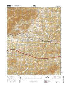
 1965 Crozet1967 Print · USGSAlbemarle County is captured in the mid-sixties as the railroad and river networks shaped local growth. Genealogists can trace family landmarks like the Miller School, Rock Gate Cem, and old communities at Yancey Mills and White Hall.
 - 1973 Map of Crozet, 1974 Print
 1973 Crozet1974 Print · USGSAlbemarle County in the early 1970s shows the growth of the Crozet area alongside deep-rooted rural institutions. Genealogists can locate family landmarks like Miller School, the Hillsboro Cem, and old stops on the Chesapeake and Ohio railroad.2 unique versions available
 - 1977 Map of Crozet, 1982 Print
 1977 Crozet1982 Print · USGSWestern Albemarle County comes into sharp focus during the late seventies, showing the traditional crossroads and farmsteads of the Blue Ridge foothills. Genealogists and local historians can trace family lands near White Hall, Crozet, and the banks of Mechums River.
 - 1986 Map of Charlottesville
 1986 Charlottesville1986 Print · USGSCentral Virginia in the mid-eighties shows a landscape balanced between the growing city centers of the Piedmont and the protected ridges of the Blue Ridge. Trace the historic rail lines of the Chesapeake and Ohio Railway or locate local landmarks like Monticello Mountain and Bridgewater College.3 unique versions available
 - 1997 Map of Crozet, 1999 Print
 1997 Crozet1999 Print · USGSAlbemarle County in the late nineties shows a landscape where historic mountain gaps meet growing railroad towns. Genealogists and historians can trace family roots through the Miller School, Rock Gate Cem, and the old settlements of White Hall and Yancey Mills.
 - 2010 Map of Crozet, 2010 Print
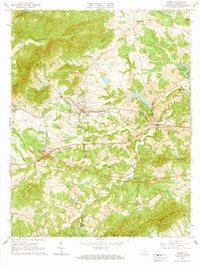
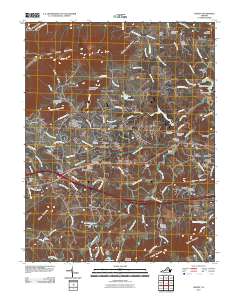 2010 Crozet2010 Print · USGSCovers Midway, including Crozet, White Hall, and other nearby areas
 - 2013 Map of Crozet, 2013 Print
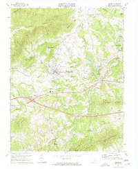
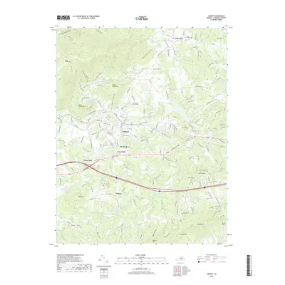
 2013 Crozet2013 Print · USGSCovers Midway, including Crozet, White Hall, and other nearby areas
 - 2016 Map of Crozet, 2016 Print
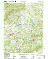
 2016 Crozet2016 Print · USGSCovers Midway, including Crozet, White Hall, and other nearby areas
 - 2019 Map of Crozet, 2019 Print
 2019 Crozet2019 Print · USGSCovers Midway, including Crozet, White Hall, and other nearby areas
 - 2022 Map of Crozet, 2022 Print
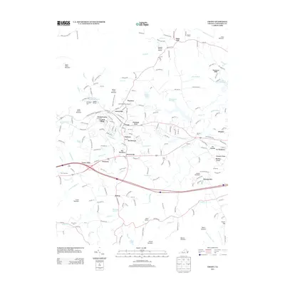
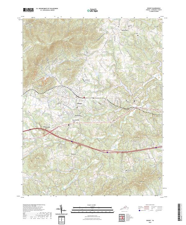 2022 Crozet2022 Print · USGSAlbemarle County's foothills come into sharp focus in the early 2020s, showing the intersection of mountain terrain and historic community hubs. Genealogists can trace family heritage through local landmarks like Rock Gate Cem, White Hall, and Midway.
End of results
Showing maps 1-15 of 15
Top cities near Midway
- Waynesboro historical maps
- University of Virginia historical maps
- Crozet historical maps
- Grottoes historical maps
- Crimora historical maps
- Dooms historical maps
See more
Frequently asked questions
- What are the different types of historical maps available for Midway?
- What is the oldest map of Midway?
- Where can I purchase historical maps of Midway for my home or office?
- Where can I download high-res historical maps of Midway?
- Are there historical topographic maps available for Midway?
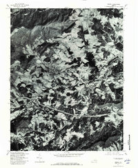
- Is there historical aerial imagery available for Midway?
- Where are historical maps of Midway sourced from?