2010s Maps of Amherst County, Virginia
Explore 72 historic maps of Amherst County from the 2010s. These maps offer a rare glimpse into what life looked like during the 2010s — showing old roads, neighborhoods, homes, and landmarks that have changed or disappeared over time.
Whether you're researching your family's past, planning a metal detecting trip, or studying how Amherst County's landscape evolved across the 2010s, these high-resolution maps are a powerful tool for exploring the history of this region.
- Focus on a specific era: All maps on this page are from the 2010s, giving you a focused view of this time period.
- See what’s changed: Compare century-old streets, trails, and buildings to today's modern landscape using overlays and satellite layers.
- Research with precision: Use these maps for genealogy, historical research, land use analysis, or educational projects.
- View, download, or print: Maps are fully viewable online in high resolution, and can be downloaded or printed for your own records.
Start exploring Amherst County's history through authentic maps from the 2010s. This is your window into the past.
Amherst County, VA maps
(72)- 2010 Map of Kelly, 2010 Print
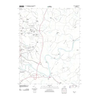 2010 Kelly2010 Print · USGSThe James River corridor in Amherst County appears here in the early twenty-first century, showing the intersection of industrial heritage and modern growth. Genealogists can trace family sites at Megginson Cemetery or locate historic landmarks like Oxford Furnace and Galts Mill.
 - 2010 Map of Amherst, 2010 Print
 2010 Amherst2010 Print · USGSAmherst County at the dawn of the 21st century remains a landscape of rolling foothills and historic family settlements. Researchers can trace ancestral sites at Christian Aid Cemetery or explore the collegiate grounds around Sweetbriar Lake and Sweet Briar Station.
 - 2010 Map of Boonsboro, 2010 Print
 2010 Boonsboro2010 Print · USGSThe foothills west of Lynchburg are captured in the early twenty-first century, showing a mix of established rural communities and growing suburban areas. Researchers can locate family landmarks like Norwood Cemetery and North Cemetery or institutional sites such as the Eagle Eyrie Virginia Baptist Assembly.
 - 2010 Map of Tobacco Row Mountain, 2010 Print
 2010 Tobacco Row Mountain2010 Print · USGSAmherst County at the start of the twenty-first century remains a landscape of high ridges and deep family roots. Researchers can trace ancestral sites like Fletcher Cemetery, the community of Elon, and the distinctive slopes of Buffalo Spur.
 - 2010 Map of Arrington, 2010 Print
 2010 Arrington2010 Print · USGSThe rural Piedmont of Nelson County is captured here at the start of the 21st century, showing a landscape defined by river forks and family-named ridges. Researchers can locate White Rock Cemetery, the historic settlement of New Glasgow, and local landmarks like Hendersons Store.
 - 2010 Map of Stonewall, 2010 Print
 2010 Stonewall2010 Print · USGSAppomattox County in the early twenty-first century remains a landscape of historic river settlements and rural crossroads. Local historians can trace the evolution of Stonewall Mills and locate family burial grounds at Mount Zion Cemetery or Rebecca Cemetery.
 - 2010 Map of Buffalo Ridge, 2010 Print
 2010 Buffalo Ridge2010 Print · USGSAmherst County at the start of the twenty-first century reveals a landscape shaped by river systems and upland ridges. Researchers can trace historic river crossings and rural homesteads near Walkers Ford, Riverville, and the landmark Buffalo Ridge.
 - 2010 Map of Gladstone, 2010 Print
 2010 Gladstone2010 Print · USGSThe James River corridor in Nelson County is captured here in the early 2000s, showing a landscape defined by ridgelines and river-bottom settlements. Researchers can trace the layout of Gladstone, the community of Bent Creek, and rural landmarks like Buffalo Springs.
 - 2011 Map of Massies Mill, 2011 Print
 2011 Massies Mill2011 Print · USGSThe Tye River valley in Nelson County was well-settled by the early twenty-first century, balancing mountain summits with riverside hamlets. Genealogists and hikers can trace the Priest Trail Shelter, visit Oak Hill Cemetery, or locate the site of Perkins Mill.
 - 2011 Map of Big Island, 2011 Print
 2011 Big Island2011 Print · USGSThe James River corridor in Bedford County comes into focus in this early twenty-first-century survey. Researchers can trace the legacy of river industry and rural life through landmarks like Big Island Dam, Ivy Hill Cemetery, and the settlement at Pedlar Mills.
 - 2011 Map of Forks of Buffalo, 2011 Print
 2011 Forks of Buffalo2011 Print · USGSAmherst County’s highlands and river valleys are captured here in the early twenty-first century as the Buffalo River system winds through the Blue Ridge. Genealogists can locate family landmarks like Dodd Cemetery, Higginbotham Cemetery, and the community of Sandidges.
 - 2011 Map of Glasgow, 2011 Print
 2011 Glasgow2011 Print · USGSThe confluence of the Maury and James rivers at Glasgow highlights this era of Virginia's Blue Ridge landscape. Researchers can locate numerous ancestral sites including the Salling Family Cemetery, Buffalo Forge, and Lone Jack Quarry.
 - 2011 Map of Snowden, 2011 Print
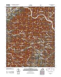 2011 Snowden2011 Print · USGSThe James River corridor and Blue Ridge foothills are captured here in the early twenty-first century. Researchers and hikers can trace remote landmarks like Sharon Cemetery, early hydroelectric sites at Cushaw Dam, and trail waypoints including Thunder Hill Trail Shelter.
 - 2011 Map of Montebello, 2011 Print
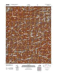 2011 Montebello2011 Print · USGSThe Virginia high country near Montebello is shown here in the early twenty-first century, spanning a landscape of steep ridges and mountain springs. Researchers can trace the heritage of the Blue Ridge through sites like the Irish Creek Mine, Grant Cemetery, and the Montebello State Fish Hatchery.
 - 2011 Map of Cornwall, 2011 Print
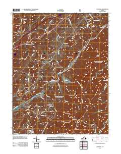 2011 Cornwall2011 Print · USGSModern Rockbridge County meets its deep roots in this early 21st-century survey of the Blue Ridge foothills. Genealogists can trace family landmarks and rural homesteads through McDowell Cemetery, Crossroads Store, and the scattered settlements of Marlbrook and Cornwall.
 - 2011 Map of Lynchburg, 2011 Print
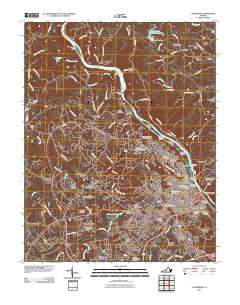 2011 Lynchburg2011 Print · USGSLynchburg and the James River corridor are shown here in the early twenty-first century, revealing a city shaped by its historic hills and river power. Genealogists and local historians can trace landmarks like Old City Cemetery, the Jefferson Street Tunnel, and Court House Hill.
 - 2011 Map of Buena Vista, 2011 Print
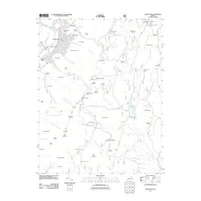 2011 Buena Vista2011 Print · USGSBuena Vista and the surrounding Blue Ridge peaks are documented here in the early twenty-first century. Genealogists and hikers can trace connections at Southern Virginia University or locate family sites like Green Hill Cemetery and Roberts Cemetery.
 - 2011 Map of Piney River, 2011 Print
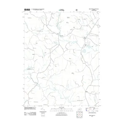 2011 Piney River2011 Print · USGSThe foothills of the Blue Ridge Mountains in central Virginia are meticulously detailed here in the early twenty-first century. Genealogists and local historians can locate numerous family cemeteries like Mays and Steele, or trace landmarks like the Fulcher Family Farms Airport and Buffalo River Dam Number Three.
 - 2013 Map of Amherst, 2013 Print
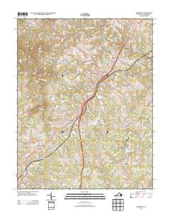 2013 Amherst2013 Print · USGSAmherst County in the early twenty-first century reveals a landscape of mountain foothills and established rural communities. Genealogists and researchers can trace local landmarks like Sweet Briar Station, Timberdoodle Airport, and the crossroads of Faulconerville.
 - 2013 Map of Kelly, 2013 Print
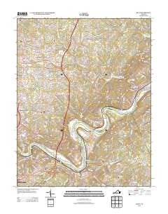 2013 Kelly2013 Print · USGSMadison Heights and the surrounding Amherst County hills are documented here in the early twenty-first century as suburban growth meets river history. Trace the landscape from the James River banks at Oxford Furnace to landmarks like Joshua Falls and Mount Athos.
 - 2013 Map of Tobacco Row Mountain, 2013 Print
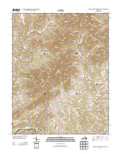 2013 Tobacco Row Mountain2013 Print · USGSAmherst County's mountain settlements and river valleys are captured here in the early twenty-first century as they interface with the Blue Ridge foothills. Genealogists and historians can trace the roads around Elon, Monroe, and the peaks of Buffalo Spur.
 - 2013 Map of Big Island, 2013 Print
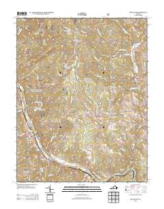 2013 Big Island2013 Print · USGSThe James River corridor in the Blue Ridge Mountains comes into focus here during the early twenty-first century. Researchers can trace historical routes and mountain settlements through sites like Pedlar Mills, the Waughs Ferry Rd, and the high overlooks along the Blue Ridge Pkwy.
 - 2013 Map of Glasgow, 2013 Print
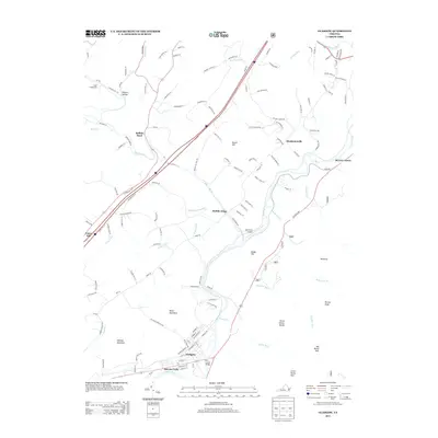 2013 Glasgow2013 Print · USGSThe confluence of the Maury River and James River at Glasgow anchors this 2013 survey of the Virginia water gap. Researchers can trace the local landscape from Sallings Mountain to Buffalo Forge, identifying landmarks like the B G Locher Bridge.
 - 2013 Map of Boonsboro, 2013 Print
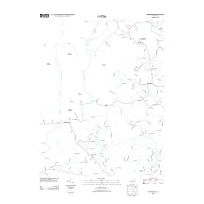 2013 Boonsboro2013 Print · USGSThe foothills of the Blue Ridge come into focus during this period of residential expansion and institutional development. Researchers can trace local landmarks like Ivy Hill Airport, the Eagle Eyrie Virginia Baptist Assembly, and the historic settlement at Coffee.
 - 2013 Map of Piney River, 2013 Print
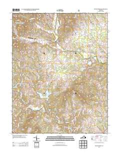 2013 Piney River2013 Print · USGSNelson County's rural landscape is captured here in the early twenty-first century, showing a network of mountain foothills and river valleys. Researchers can trace the paths of Little Piney River and the Buffalo River past settlements like Lowesville and Gidsville.
Showing maps 1-25 of 72
Top cities of Amherst County
Frequently asked questions
- What are the different types of historical maps available for Amherst County?
- What is the oldest map of Amherst County?
- Where can I purchase historical maps of Amherst County for my home or office?
- Where can I download high-res historical maps of Amherst County?
- Are there historical topographic maps available for Amherst County?
- Is there historical aerial imagery available for Amherst County?
- Where are historical maps of Amherst County sourced from?