2000s (21st Century) Maps of Augusta County, Virginia
Explore 136 historic maps of Augusta County from the 2000s (21st Century). These maps offer a rare glimpse into what life looked like during the 2000s — showing old roads, neighborhoods, homes, and landmarks that have changed or disappeared over time.
Whether you're researching your family's past, planning a metal detecting trip, or studying how Augusta County's landscape evolved across the 2000s, these high-resolution maps are a powerful tool for exploring the history of this region.
- Focus on a specific era: All maps on this page are from the 2000s, giving you a focused view of this time period.
- See what’s changed: Compare century-old streets, trails, and buildings to today's modern landscape using overlays and satellite layers.
- Research with precision: Use these maps for genealogy, historical research, land use analysis, or educational projects.
- View, download, or print: Maps are fully viewable online in high resolution, and can be downloaded or printed for your own records.
Start exploring Augusta County's history through authentic maps from the 2000s. This is your window into the past.
Augusta County, VA maps
(136)- 2002 Map of Mount Sidney, 2004 Print
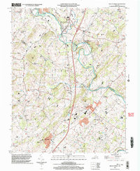 2002 Mount Sidney2004 Print · USGSThe Shenandoah Valley corridor near the Rockingham and Augusta county line is documented here just after the turn of the millennium. Genealogists and local historians can trace legacy sites like St Michaels Ch, the Old Salem Cem, and the rural community of Burketown.
 - 2010 Map of Brownsburg, 2010 Print
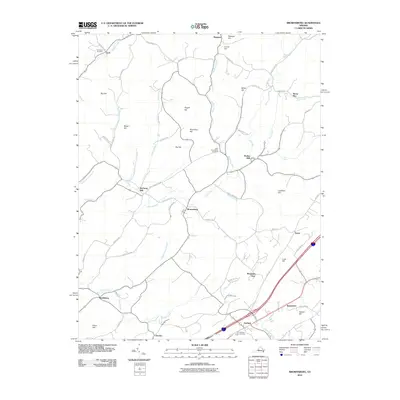 2010 Brownsburg2010 Print · USGSAugusta County at the start of the 2010s reveals a landscape of enduring rural settlements and historic mills. Researchers can trace family history through sites like New Providence Cemetery or explore the geography of Brownsburg, Wades Mill, and Bustleburg.
 - 2010 Map of Greenville, 2010 Print
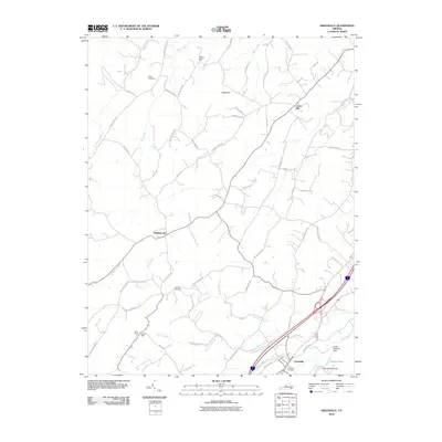 2010 Greenville2010 Print · USGSGreenville and Middlebrook anchor this Augusta County landscape as it appeared in the early 21st century. Genealogists and historians can trace family roots at Glebe Cemetery, locate old industrial sites like the Harris Mine, or follow the winding Christians Creek.
 - 2010 Map of Parnassus, 2010 Print
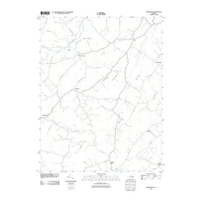 2010 Parnassus2010 Print · USGSAugusta County remains a landscape of small valley settlements and winding river gaps at the start of the 2010s. Researchers can trace historic crossroads and local landmarks like the Natural Chimneys, the village of Mount Solon, and Parnassus along the North River.
 - 2010 Map of Staunton, 2010 Print
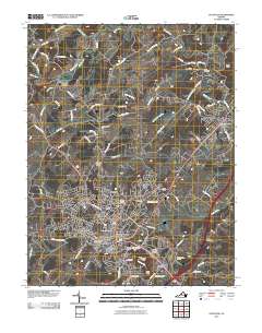 2010 Staunton2010 Print · USGSStaunton and the Middle River valley are shown here in the contemporary era, detailing the city's growth alongside its storied landmarks. Genealogists and researchers can trace ancestral sites at Thornrose Cemetery, Staunton, and historic local crossings like Franks Mill.
 - 2010 Map of Crimora, 2010 Print
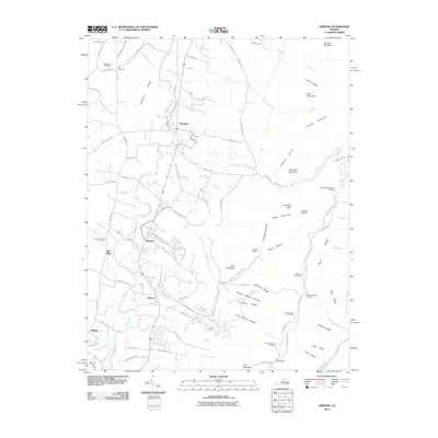 2010 Crimora2010 Print · USGSThe eastern reaches of Augusta County are shown here in the early twenty-first century as they meet the mountains. Researchers can trace family history at Old Cemetery and Mountain View Cemetery or locate the historic Crimora Mine near the park boundary.
 - 2010 Map of Browns Cove, 2010 Print
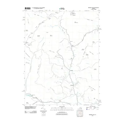 2010 Browns Cove2010 Print · USGSThe Doyles River valley and the eastern Blue Ridge heights come into focus in this late-era survey. Genealogists and hikers can trace connections between Mount Carmel Cemetery and Sandridge Cemetery or follow the Appalachian Trl through Browns Gap.
 - 2010 Map of Fort Defiance, 2010 Print
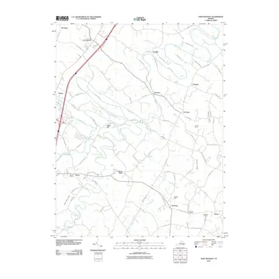 2010 Fort Defiance2010 Print · USGSAugusta County’s rural Shenandoah Valley character is captured here in the early twenty-first century, showing a landscape defined by farming and winding waterways. Genealogists can locate family burial grounds like Hildebrand Cemetery or trace old routes between Knightly and New Hope.
 - 2010 Map of Grottoes, 2010 Print
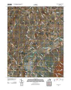 2010 Grottoes2010 Print · USGSThe Shenandoah Valley river forks define this Rockingham County landscape in 2010. Trace the convergence of the North River and South River at Port Republic, or locate family sites at Shady Grove Cemetery and Old Forge Cemetery.
 - 2010 Map of Mount Sidney, 2010 Print
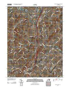 2010 Mount Sidney2010 Print · USGSThe central Shenandoah Valley is shown here at the turn of the millennium, anchored by the North River and critical transit hubs. Genealogists can trace family lines through numerous sites like Bells Cemetery, Old Salem Cemetery, and Stonewall.
 - 2011 Map of Reddish Knob, 2011 Print
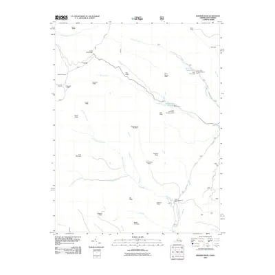 2011 Reddish Knob2011 Print · USGSThe high Appalachian ridges of Rockingham County are shown in detail during the early twenty-first century, highlighting a landscape of peaks and water-control reservoirs. Researchers can locate distinct landmarks such as Reddish Knob, the Hone Quarry Reservoir, and the Briery Branch Overlook.
 - 2011 Map of Palo Alto, 2011 Print
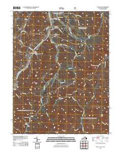 2011 Palo Alto2011 Print · USGSThe mountain valleys near Palo Alto at the turn of the decade reveal a landscape of deep hollows and high ridges. Genealogists can trace family-named locations like Huffman Hollow, Sinclair Hollow, and landmarks such as Rock Lick Spring.
 - 2011 Map of Sherando, 2011 Print
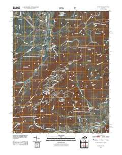 2011 Sherando2011 Print · USGSThe Blue Ridge high country of central Virginia comes into view during the early 2010s. Researchers can locate the historic Mount Torry Furnace, trace the Blue Ridge Pkwy, and find local burial grounds like Wintergreen Cemetery.
 - 2011 Map of Briery Branch, 2011 Print
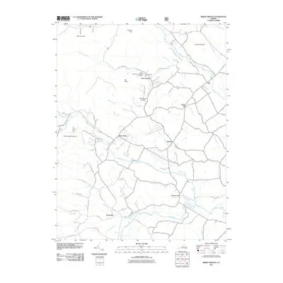 2011 Briery Branch2011 Print · USGSRockingham County at the start of the 2010s reveals a tapestry of small valley settlements and managed mountain watersheds. Researchers can trace family-named roads and rural centers like Sangerville, Ottobine, and the lands around Cooper Mountain.
 - 2011 Map of Churchville, 2011 Print
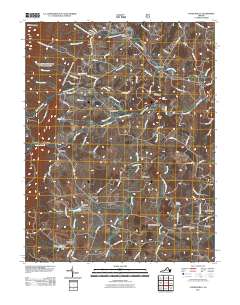 2011 Churchville2011 Print · USGSAugusta County in the early twenty-first century reveals a landscape shaped by the Middle River and historic rural crossroad communities. Researchers can trace family sites near Churchville, Trimbles Mill, and several local burial grounds like Hunters Cemetery.
 - 2011 Map of McDowell, 2011 Print
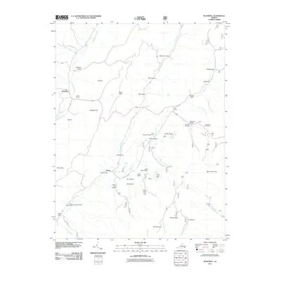 2011 McDowell2011 Print · USGSHighland County’s mountain ridges and valley settlements are captured here in the early twenty-first century. Researchers can trace the heritage of the region through landmarks like the Confederate Breastworks, Signal Corps Knob, and the village of McDowell.
 - 2011 Map of Williamsville, 2011 Print
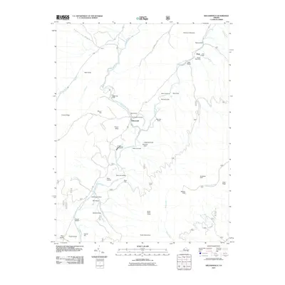 2011 Williamsville2011 Print · USGSBath County in the early twenty-first century reveals a landscape defined by its river valleys and mountain gaps. Genealogists and hikers can trace the terrain around Williamsville, the Coursey Springs State Fish Hatchery, and Bullpasture Gorge.
 - 2011 Map of West Augusta, 2011 Print
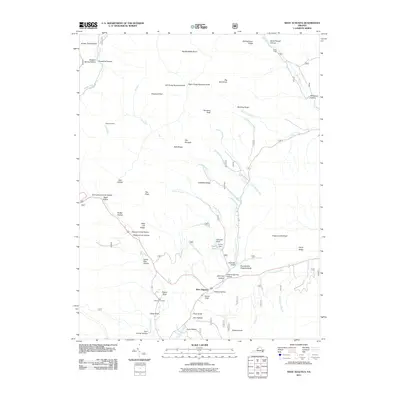 2011 West Augusta2011 Print · USGSWest Augusta and the surrounding Virginia highlands are mapped here in the early twenty-first century, showing a landscape of deep hollows and high knobs. Researchers can locate West Augusta Cemetery, trace the Calfpasture River headwaters, and find landmarks like Braley Pond and Camp Todd.
 - 2011 Map of Stokesville, 2011 Print
 2011 Stokesville2011 Print · USGSStokesville and the surrounding gap are shown in this century as a hub of mountain recreation and water infrastructure. Genealogists and historians can trace the paths of the Old C & W Railway Rd or locate rural sites like Stribling Springs and Delta Springs Farm.
 - 2011 Map of Augusta Springs, 2011 Print
 2011 Augusta Springs2011 Print · USGSAugusta County at the start of the 2010s reveals a landscape of mountain hollows and historic furnace sites. Researchers can trace rural settlement patterns near Augusta Springs and Estaline, locating features like Estaline Furnace and Mount Herman Cemetery.
 - 2011 Map of Craigsville, 2011 Print
 2011 Craigsville2011 Print · USGSAugusta County’s valley settlements and river networks are captured here in the early twenty-first century. Genealogists and hikers can trace the topography of Craigsville and Bells Valley, or locate family-named landmarks like Staples Hollow and Wilson Bridge.
 - 2011 Map of Deerfield, 2011 Print
 2011 Deerfield2011 Print · USGSAugusta County remains a deeply rural landscape of river valleys and mountain ridges at the start of the 21st century. Researchers can trace local heritage and land use through landmarks like Mount Mary Cemetery, the Ruleman Turkey Farm, and the small settlement of Marble Valley.
 - 2011 Map of Stuarts Draft, 2011 Print
 2011 Stuarts Draft2011 Print · USGSThe Shenandoah Valley landscape near Stuarts Draft is shown here as it transitioned in the early 21st century. Researchers can trace historic community centers like Mint Spring, Barterbrook, and White Hill alongside the South River and its many tributary runs.
 - 2011 Map of Elliott Knob, 2011 Print
 2011 Elliott Knob2011 Print · USGSAugusta County high country is mapped here in the early twenty-first century, centered on the towering peaks of the Great North Mountain range. Researchers can trace the drainages of the Calfpasture River and locate mountain sites like Mount Elliott Springs and the Elliott Knob Lookout Tower.
 - 2011 Map of Waynesboro West, 2011 Print
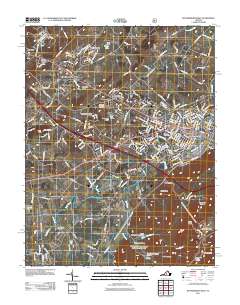 2011 Waynesboro West2011 Print · USGSThe growing outskirts of WAYNESBORO and the community of Fishersville are captured here in the early twenty-first century. Researchers can trace family sites and local history through the Old Cemetery, the Waynesboro Post Office, and the rural routes of Lyndhurst.
Showing maps 1-25 of 136
Top cities of Augusta County
- Stuarts Draft historical maps
- Verona historical maps
- Weyers Cave historical maps
- Crimora historical maps
- Lyndhurst historical maps
- Dooms historical maps
See more
Frequently asked questions
- What are the different types of historical maps available for Augusta County?
- What is the oldest map of Augusta County?
- Where can I purchase historical maps of Augusta County for my home or office?
- Where can I download high-res historical maps of Augusta County?
- Are there historical topographic maps available for Augusta County?
- Is there historical aerial imagery available for Augusta County?
- Where are historical maps of Augusta County sourced from?