2020s Maps of Bath County, Virginia
Explore 17 historic maps of Bath County from the 2020s. These maps offer a rare glimpse into what life looked like during the 2020s — showing old roads, neighborhoods, homes, and landmarks that have changed or disappeared over time.
Whether you're researching your family's past, planning a metal detecting trip, or studying how Bath County's landscape evolved across the 2020s, these high-resolution maps are a powerful tool for exploring the history of this region.
- Focus on a specific era: All maps on this page are from the 2020s, giving you a focused view of this time period.
- See what’s changed: Compare century-old streets, trails, and buildings to today's modern landscape using overlays and satellite layers.
- Research with precision: Use these maps for genealogy, historical research, land use analysis, or educational projects.
- View, download, or print: Maps are fully viewable online in high resolution, and can be downloaded or printed for your own records.
Start exploring Bath County's history through authentic maps from the 2020s. This is your window into the past.
Bath County, VA maps
(17)- 2022 Map of Longdale Furnace, 2022 Print
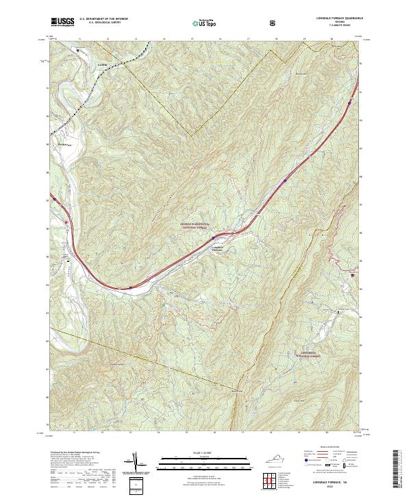 2022 Longdale Furnace2022 Print · USGSAlleghany County in the 2020s remains a landscape of deep valleys and forested ridges where the National Forest boundary lines converge. Researchers can locate family landmarks like Sharon Baptist Church Cem, the community of Griffith, and the namesake Longdale Furnace.
 - 2022 Map of Craigsville, 2022 Print
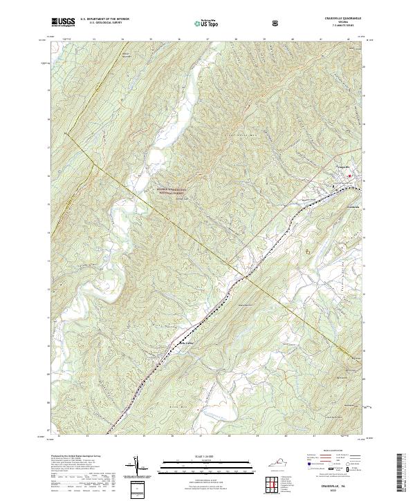 2022 Craigsville2022 Print · USGSThe mountain valleys of western Augusta County are mapped here in the early 2020s, showing the intersection of forest lands and rural communities. Genealogists and hikers can trace landmarks like Craigsville Memorial Cemetery, Bells Valley, and the many hollows tucked under Great North Mountain.
 - 2022 Map of Williamsville, 2022 Print
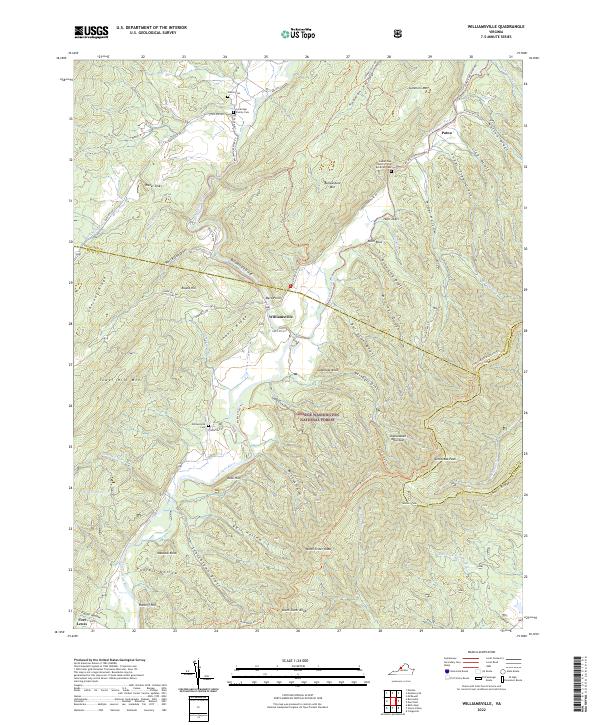 2022 Williamsville2022 Print · USGSBath and Highland Counties at the confluence of the Bullpasture and Cowpasture Rivers are captured here in the early 2020s. Genealogists and hikers can trace family sites at Lockridge Family Cemetery or follow the Shenandoah Mountain Trail through the George Washington National Forest.
 - 2022 Map of Deerfield, 2022 Print
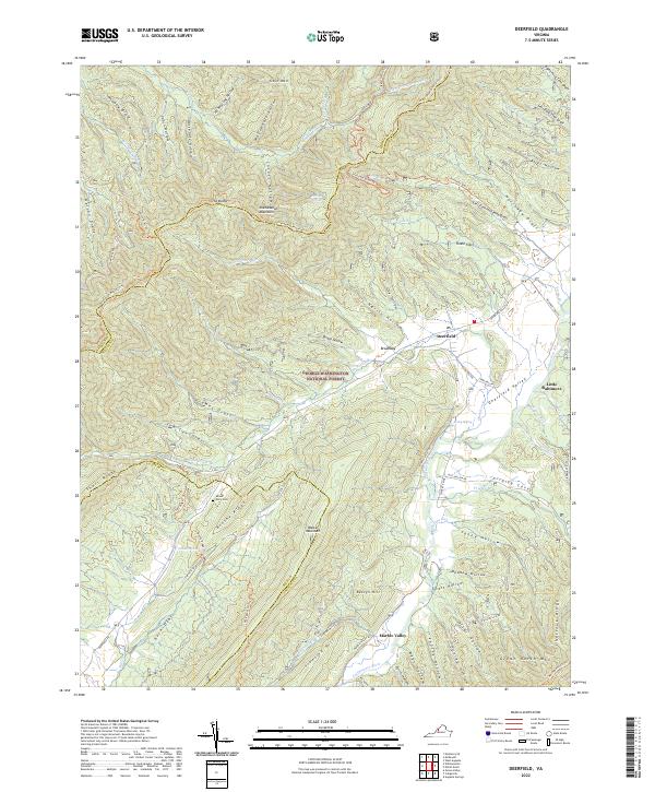 2022 Deerfield2022 Print · USGSThe high valleys of Augusta and Bath Counties are shown here during the early twenty-first century, as rural communities remained centered on the winding Calfpasture River. Genealogists and hikers can trace the geography of family-named landmarks like Bettys Hill, Mount Mary Cem, and the old Clayton Mill.
 - 2022 Map of Bath Alum, 2022 Print
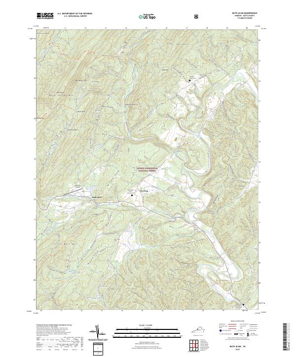 2022 Bath Alum2022 Print · USGSBath County is documented here in its modern state, showing a landscape of deep valleys and forested ridges. Genealogists can locate family landmarks like the Metheny Family Cem or the Windy Cove Presbyterian Church Cem along the Cowpasture River.
 - 2022 Map of Nimrod Hall, 2022 Print
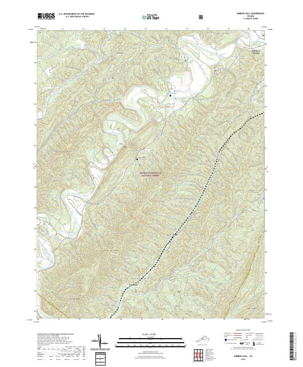 2022 Nimrod Hall2022 Print · USGSThe Bath County highlands and the Cowpasture River valley are captured here in the early 2020s. Genealogists and hikers can trace the geography of Millboro Springs or locate rural sites like Horeb Baptist Church Cem and the Beards Mountain Trl.
 - 2022 Map of Green Valley, 2022 Print
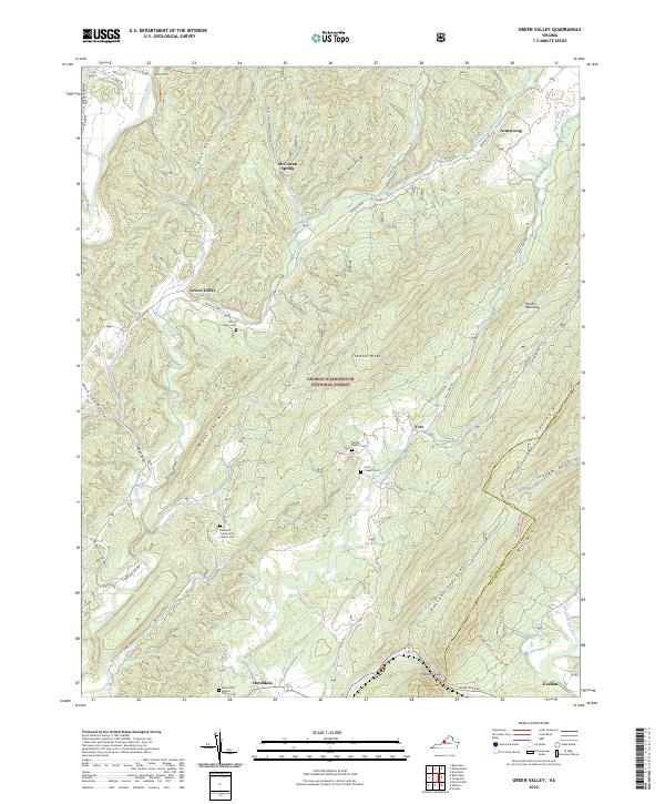 2022 Green Valley2022 Print · USGSBath and Rockbridge Counties remain deeply forested and sparsely settled in this modern topographic survey. Researchers can trace rural lineages through numerous local sites including Bethel Chapel Cem, the settlement at Hotchkiss, and landmarks like McCowan Spring.
 - 2022 Map of Warm Springs, 2022 Print
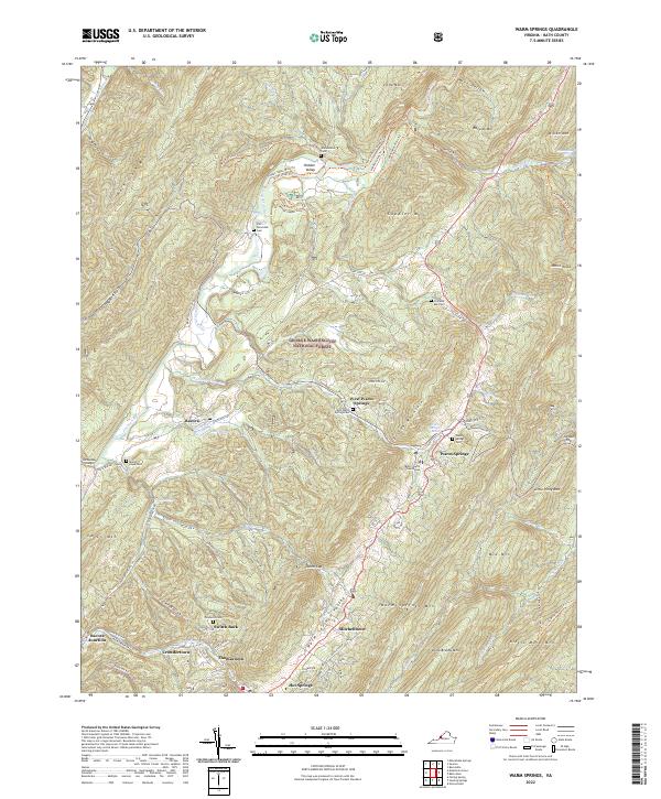 2022 Warm Springs2022 Print · USGSWarm Springs and the thermal valleys of Bath County are shown here in the early twenty-first century. Family historians can locate several burial grounds like Warwickton Cem and Mount Hope Cem alongside the historic Warm Springs Baths.
 - 2022 Map of Falling Spring, 2022 Print
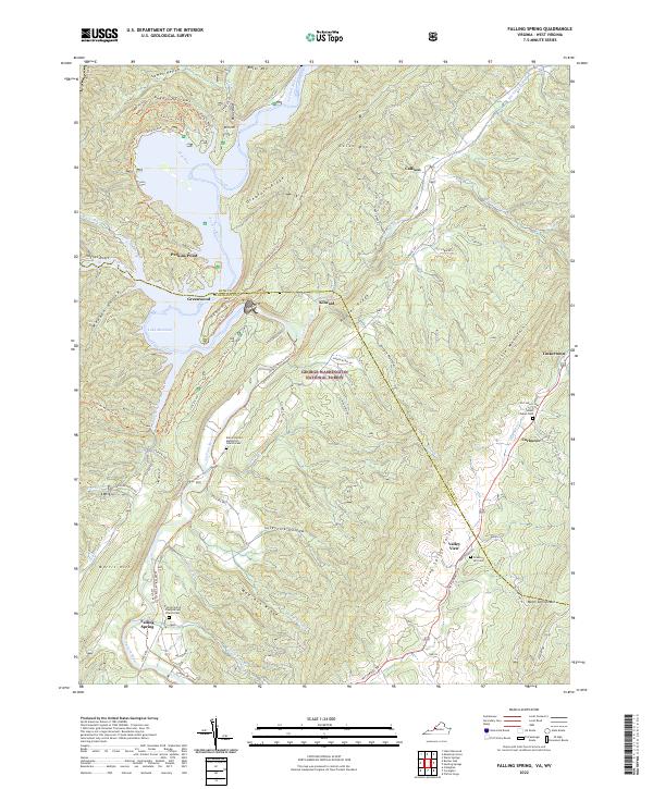 2022 Falling Spring2022 Print · USGSFalling Spring and the Jackson River valley are captured here in the early twenty-first century as they wind through the Appalachian ridges. Genealogists can trace family roots at the Falling Spring Presbyterian Church Cem or find old homesites near Tinkertown and Valley View.
 - 2022 Map of Burnsville, 2022 Print
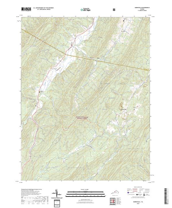 2022 Burnsville2022 Print · USGSThe Virginia highlands near the Bath and Highland County line appear here in the early twenty-first century, showing the isolated valley settlements of Burnsville and Bolar. Researchers can locate several family burial sites like the George W Cleek Cem and trace the paths of the Jackson River and Bolar Spring.
 - 2022 Map of Sunrise, 2022 Print
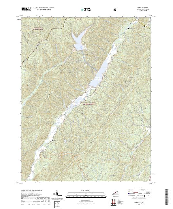 2022 Sunrise2022 Print · USGSBath County at the turn of the 21st century features a massive hydroelectric landscape where the mountains meet the Bath County Pumped Storage Lake. Genealogists and hikers can trace family burial sites like Sively Cem and Doyle Cem or explore the Jackson River Fishing Trl.
 - 2022 Map of Mountain Grove, 2022 Print
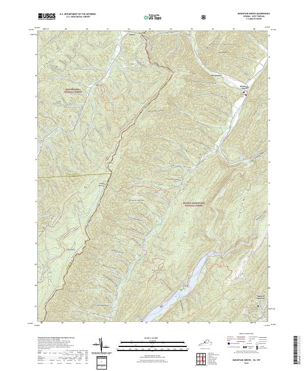 2022 Mountain Grove2022 Print · USGSHigh in the Allegheny Mountains along the Virginia and West Virginia border, this modern survey details a landscape of deep hollows and forest ridges. Genealogists can trace family landmarks like the McClintic Family Cem or find Rimel and the Eden United Methodist Church near the Jackson River.
 - 2022 Map of Rucker Gap, 2022 Print
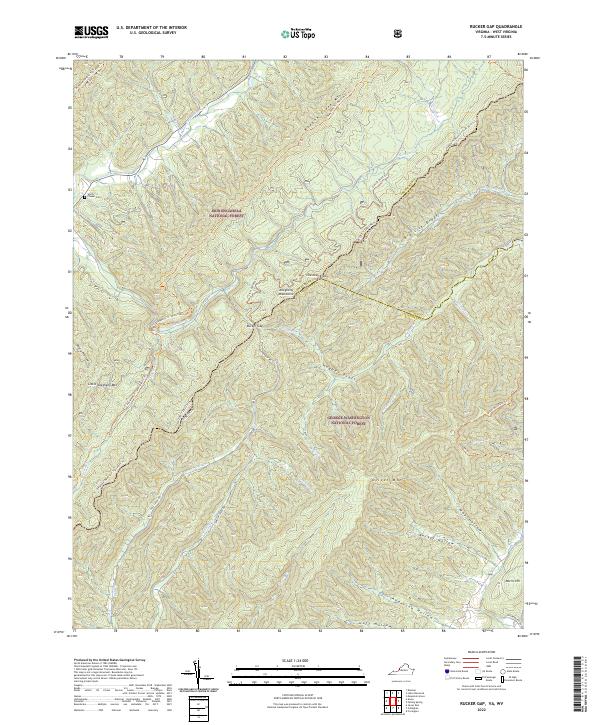 2022 Rucker Gap2022 Print · USGSThe high ridges of the Allegheny Mountains straddle the Virginia and West Virginia border in this contemporary survey of the national forest heartland. Researchers can trace historic access routes like Rucker Gap Rd and locate landmarks such as Chapel Cem or the settlement at Watts.
 - 2022 Map of Millboro, 2022 Print
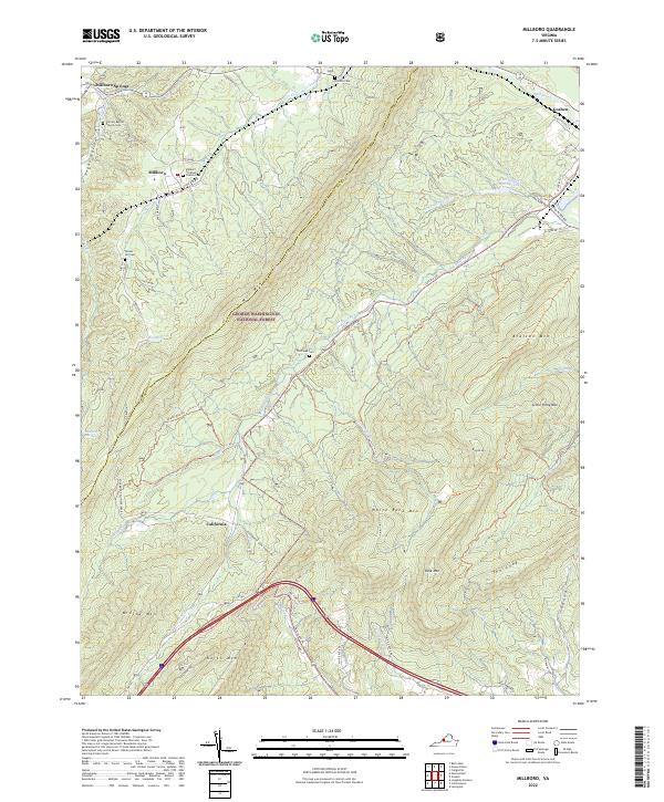 2022 Millboro2022 Print · USGSThe Alleghany highlands of Bath and Rockbridge counties are shown here in recent detail, where mountain gaps dictate the flow of travel and settlement. Genealogists can locate numerous rural burial sites including Tunnel Hill Cem and Bratton Cem near the communities of Millboro and Goshen.
 - 2022 Map of Healing Springs, 2022 Print
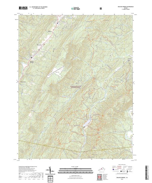 2022 Healing Springs2022 Print · USGSBath County's rugged ridge-and-valley landscape is captured here in the early twenty-first century, showing the enduring rural character of the Warm Springs Valley. Researchers can trace local heritage through landmarks like Healing Springs Baptist Church Cem and the small settlements of Ashwood and Tinkertown.
 - 2023 Map of Minnehaha Springs, 2023 Print
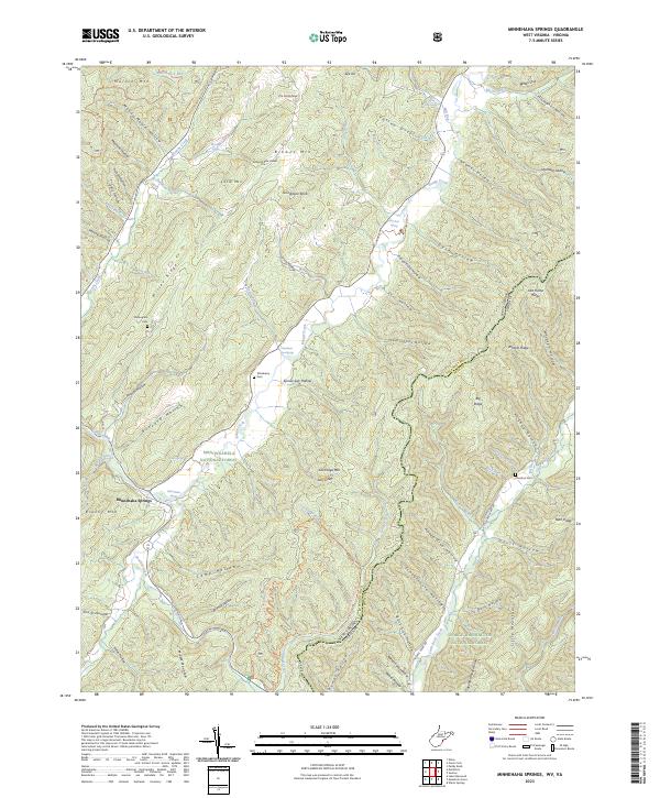 2023 Minnehaha Springs2023 Print · USGSThe high ridges of Pocahontas County come alive in this recent survey of the West Virginia and Virginia borderlands. Researchers can locate secluded family burial sites like Shinaberry Cem and trace the drainage of Knapp Creek past the community at Minnehaha Springs.
 - 2023 Map of Paddy Knob, 2023 Print
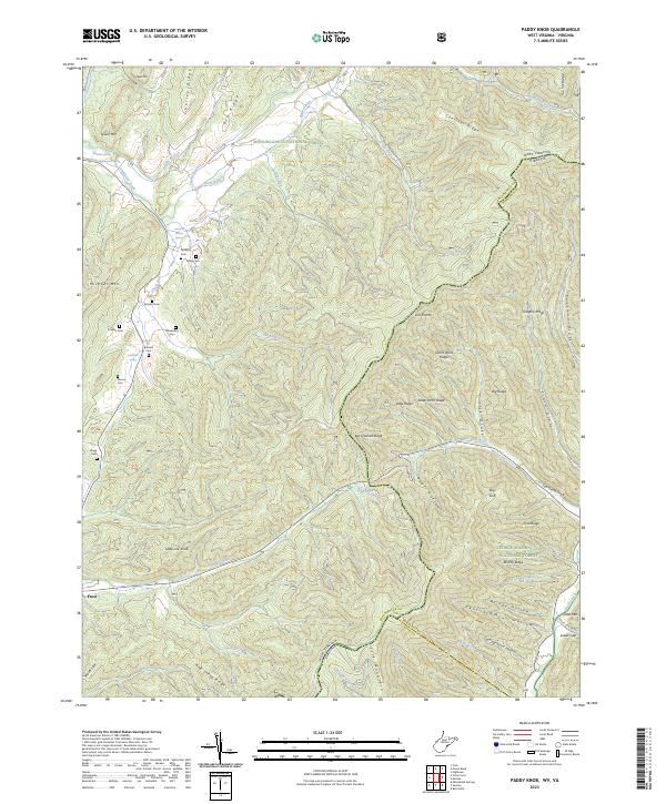 2023 Paddy Knob2023 Print · USGSHigh in the Allegheny Mountains during the 2020s, this area spans the state line between West Virginia and Virginia where two national forests meet. Researchers can trace family history at Shinaberry Cem and Gragg Cem or follow the waters of Knapp Creek through the valley near Frost.
End of results
Showing maps 1-17 of 17
Top cities of Bath County
Frequently asked questions
- What are the different types of historical maps available for Bath County?
- What is the oldest map of Bath County?
- Where can I purchase historical maps of Bath County for my home or office?
- Where can I download high-res historical maps of Bath County?
- Are there historical topographic maps available for Bath County?
- Is there historical aerial imagery available for Bath County?
- Where are historical maps of Bath County sourced from?