2010s Maps of Bath County, Virginia
Explore 68 historic maps of Bath County from the 2010s. These maps offer a rare glimpse into what life looked like during the 2010s — showing old roads, neighborhoods, homes, and landmarks that have changed or disappeared over time.
Whether you're researching your family's past, planning a metal detecting trip, or studying how Bath County's landscape evolved across the 2010s, these high-resolution maps are a powerful tool for exploring the history of this region.
- Focus on a specific era: All maps on this page are from the 2010s, giving you a focused view of this time period.
- See what’s changed: Compare century-old streets, trails, and buildings to today's modern landscape using overlays and satellite layers.
- Research with precision: Use these maps for genealogy, historical research, land use analysis, or educational projects.
- View, download, or print: Maps are fully viewable online in high resolution, and can be downloaded or printed for your own records.
Start exploring Bath County's history through authentic maps from the 2010s. This is your window into the past.
Bath County, VA maps
(68)- 2011 Map of Rucker Gap, 2011 Print
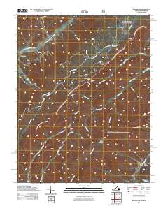 2011 Rucker Gap2011 Print · USGSThe Virginia-West Virginia borderlands at Rucker Gap are shown here in the early 21st century, dominated by high peaks and forested hollows. Researchers can locate the Watts Chapel Cemetery or trace the remote drainages of Sherwood Lake and Middle Fork Anthonys Creek.
 - 2011 Map of Minnehaha Springs, 2011 Print
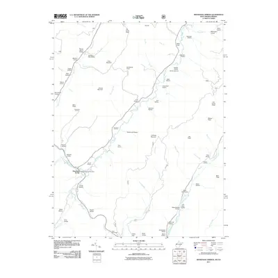 2011 Minnehaha Springs2011 Print · USGSMinnehaha Springs and the surrounding hollows of Pocahontas County are captured here in the early twenty-first century. Researchers can trace family-named landmarks and local burial sites like Shinaberry Cemetery, McLaughlin Cemetery, and the Minnehaha Springs Post Office.
 - 2011 Map of Mountain Grove, 2011 Print
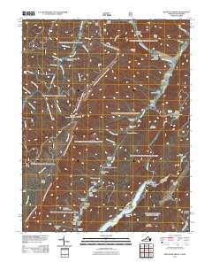 2011 Mountain Grove2011 Print · USGSThe Virginia and West Virginia borderlands are documented here in the early twenty-first century, showcasing the remote mountain valleys and river crossings of the Alleghenies. Researchers can locate family-named landmarks and historical sites like Schoolhouse Hollow, Mooretown, and the Mcclintic Bridge.
 - 2011 Map of Paddy Knob, 2011 Print
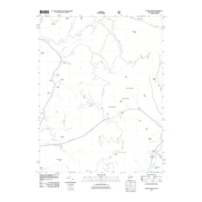 2011 Paddy Knob2011 Print · USGSThe Virginia and West Virginia state line cuts across this highland terrain as it appeared in the early 2000s. Researchers can locate numerous family burial sites such as Lindsay Cemetery and Gragg Cemetery or trace the high peaks at Paddy Knob.
 - 2011 Map of Falling Spring, 2011 Print
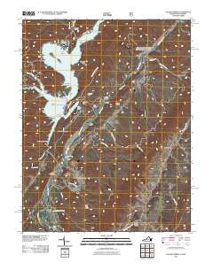 2011 Falling Spring2011 Print · USGSThe Jackson River valley in the early twenty-first century reveals a landscape shaped by both massive engineering and traditional settlements. Trace local history through the sites of Gathright Dam, the community of Falling Spring, and landmarks like Kelly Bridge.
 - 2011 Map of Sunrise, 2011 Print
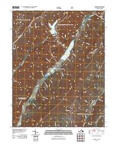 2011 Sunrise2011 Print · USGSIn the early twenty-first century, the mountain valleys of Bath County remained centered on the waters of Back Creek. Local researchers can trace family sites like Sively Cemetery and Lightner Cemetery or explore landmarks like Fodder House and Sunrise.
 - 2011 Map of Warm Springs, 2011 Print
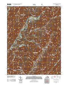 2011 Warm Springs2011 Print · USGSThe valley of the Jackson River is documented here in the early twenty-first century, showing the enduring layout of its namesake thermal spring settlements. Researchers can locate the Warwick Mansion, trace the paths of K-A-T-Y-D-I-D Trl, and explore family-named landmarks like Coles Hollow.
 - 2011 Map of Bath Alum, 2011 Print
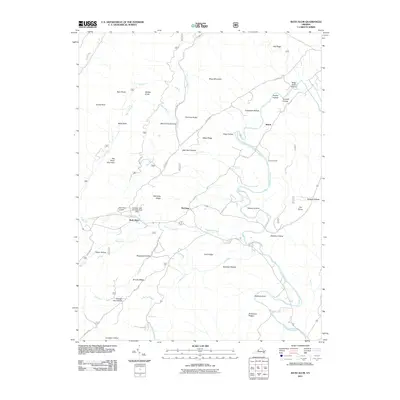 2011 Bath Alum2011 Print · USGSBath County's ridge-and-valley landscape is documented here in the early twenty-first century, centered on the community of Bath Alum. Genealogists and hikers can trace the Cowpasture River and locate family landmarks like McClung or Bear Rocks.
 - 2011 Map of Williamsville, 2011 Print
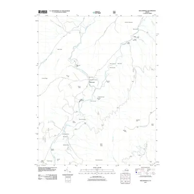 2011 Williamsville2011 Print · USGSBath County in the early twenty-first century reveals a landscape defined by its river valleys and mountain gaps. Genealogists and hikers can trace the terrain around Williamsville, the Coursey Springs State Fish Hatchery, and Bullpasture Gorge.
 - 2011 Map of Craigsville, 2011 Print
 2011 Craigsville2011 Print · USGSAugusta County’s valley settlements and river networks are captured here in the early twenty-first century. Genealogists and hikers can trace the topography of Craigsville and Bells Valley, or locate family-named landmarks like Staples Hollow and Wilson Bridge.
 - 2011 Map of Deerfield, 2011 Print
 2011 Deerfield2011 Print · USGSAugusta County remains a deeply rural landscape of river valleys and mountain ridges at the start of the 21st century. Researchers can trace local heritage and land use through landmarks like Mount Mary Cemetery, the Ruleman Turkey Farm, and the small settlement of Marble Valley.
 - 2011 Map of Green Valley, 2011 Print
 2011 Green Valley2011 Print · USGSVirginia's highland valleys and river systems are shown here in the early twenty-first century, before recent shifts in rural land use. Researchers can locate family landmarks and burial sites like the Green Valley Cemetery, McCowan Spring, and the community of Hotchkiss.
 - 2011 Map of Burnsville, 2011 Print
 2011 Burnsville2011 Print · USGSBath County at the start of the 2010s shows a landscape of deep valleys and family history tied to the Jackson River. Researchers can locate several burial grounds, including Big Valley Cemetery, and landmarks like the Duncan Knob Lookout.
 - 2011 Map of Healing Springs, 2011 Print
 2011 Healing Springs2011 Print · USGSBath County's high-mountain settlements and recreational corridors are captured here just over a decade ago. Genealogists and local historians can locate Hot Springs, Ashwood, and Healing Springs, or trace the ridgeline from Bald Knob Lookout to Douthat Lake.
 - 2011 Map of Millboro, 2011 Print
 2011 Millboro2011 Print · USGSThe rail-and-springs heritage of the Virginia mountains is preserved here in the early twenty-first century. Researchers can trace family history through Bratton Cemetery and find old railway landmarks like the Millboro Tunnel and Lick Run Tunnel.
 - 2011 Map of Longdale Furnace, 2011 Print
 2011 Longdale Furnace2011 Print · USGSAlleghany County in the early twenty-first century is defined by the deep valleys of the Cowpasture River and the industrial heritage of the Blue Ridge. Trace local lineages and old access routes near Longdale Furnace, Union View Cemetery, and the Colemans Tunnel area.
 - 2011 Map of Nimrod Hall, 2011 Print
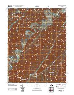 2011 Nimrod Hall2011 Print · USGSThe Cowpasture River valley in Bath County is captured here at the start of the 2010s. Researchers can trace rural settlement patterns near Nimrod Hall and Copeland, or locate landmarks like Hunt Club Dam and Mason Tunnel.
 - 2013 Map of Burnsville, 2013 Print
 2013 Burnsville2013 Print · USGSBath County’s ridge-and-valley landscape is documented here in the early twenty-first century, showing the enduring rural settlements of the Virginia highlands. Researchers can locate Singleton Airport, the Duncan Knob Lookout, and family landmarks like Daggy Hollow and Stillhouse Hollow.
 - 2013 Map of Bath Alum, 2013 Print
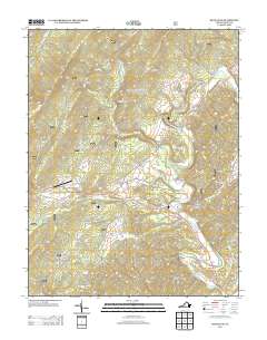 2013 Bath Alum2013 Print · USGSThe Virginia highlands near the Cowpasture River appear here in the early twenty-first century, showing a landscape of named ridges and deep hollows. Researchers can locate family landmarks like Donley Hollow or trace the rural crossroads at Bath Alum and Shiloh.
 - 2013 Map of Falling Spring, 2013 Print
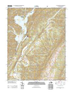 2013 Falling Spring2013 Print · USGSThe Virginia-West Virginia borderlands come alive in the early twenty-first century as the Jackson River snakes past ridge-and-valley settlements. Trace local family history and recreation sites from Tinkertown down to Camp Appalachia and Natural Well.
 - 2013 Map of Green Valley, 2013 Print
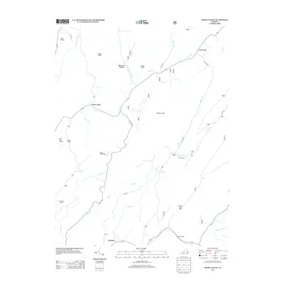 2013 Green Valley2013 Print · USGSThe foothills of the Virginia Appalachians are mapped here in the early twenty-first century, showing the rural communities of Green Valley and Armstrong. Genealogists can trace family landmarks like McCowan Spring and routes through the prominent Panther Gap.
 - 2013 Map of Deerfield, 2013 Print
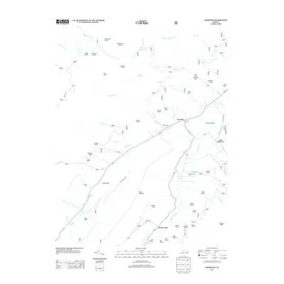 2013 Deerfield2013 Print · USGSAugusta County’s valley and ridge landscape is documented here in the early twenty-first century, centered on the settlements of Deerfield and Marble Valley. Researchers can trace old family landforms from Walker Mountain to Kiser Hollow and find agricultural sites like the Ruleman Turkey Farm.
 - 2013 Map of Williamsville, 2013 Print
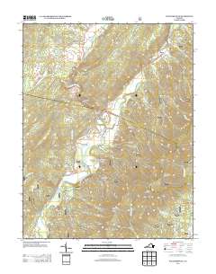 2013 Williamsville2013 Print · USGSBath County's river valleys and mountain ridges are captured here in the early twenty-first century. Genealogists and hikers can trace family-named landmarks like McCrays Draft and Ratcliff Hill or locate the Coursey Springs State Fish Hatchery.
 - 2013 Map of Warm Springs, 2013 Print
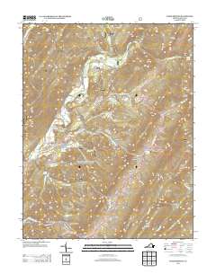 2013 Warm Springs2013 Print · USGSBath County's famous thermal springs and valley settlements are captured here in the early twenty-first century. Genealogists and local historians can trace family locations through Mitchelltown, Crowdertown, and the historic Warm Springs Baths.
 - 2013 Map of Mountain Grove, 2013 Print
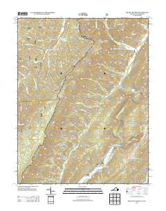 2013 Mountain Grove2013 Print · USGSThe Virginia and West Virginia borderlands appear in high detail during the early twenty-first century, showcasing a landscape of deep hollows and high ridges. Researchers can locate the High Top Lookout Tower, trace the edges of Lake Moomaw, and identify old sites like Mooretown and Schoolhouse Hollow.
Showing maps 1-25 of 68
Top cities of Bath County
Frequently asked questions
- What are the different types of historical maps available for Bath County?
- What is the oldest map of Bath County?
- Where can I purchase historical maps of Bath County for my home or office?
- Where can I download high-res historical maps of Bath County?
- Are there historical topographic maps available for Bath County?
- Is there historical aerial imagery available for Bath County?
- Where are historical maps of Bath County sourced from?