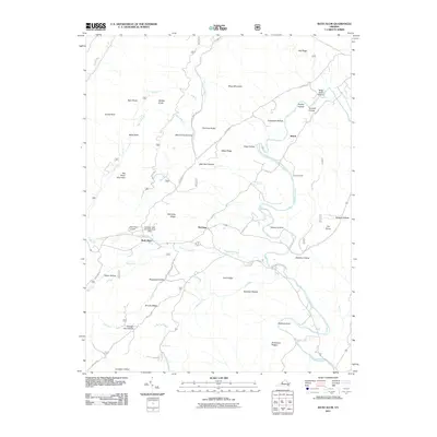
2011 Map of Bath Alum
USGS Topo · Published 2011About this map
Bath Alum and the nearby McClung settlement anchor this landscape in the western Virginia highlands, where mountain ridges and deep hollows dictate the layout of human infrastructure. The Cowpasture River winds through the eastern portion of the terrain, joined by numerous tributaries including Thompson Creek and Guys Run. This 2011 survey captures a mix of traditional rural life and recreational land use, evidenced by the presence of Camp Kannata and the Aviation, Golf and Farm Club Dam.
Find a feature on this map
56 named features on this map. Tap any name to fly to it.
Don’t see what you’re looking for? This feature index may not catch every label — zoom into the map to look around manually.
Map Details
Editions of this 2011 Bath Alum Map
This is the sole edition of this map. No revisions or reprints were ever made.
Other maps of this area

1894 · Natural Bridge
USGS Topo · 1:125,000

1901 · Monterey
USGS Topo · 1:125,000

1923 · Warm Springs
USGS Topo · 1:48,000

1926 · Warm Springs
USGS Topo · 1:62,500

1930 · Warm Springs Run
USGS Topo · 1:24,000

1931 · Healing Springs
USGS Topo · 1:24,000

1933 · Warm Springs Run
USGS Topo · 1:31,680

1933 · Healing Springs
USGS Topo · 1:31,680

1945 · Clifton Forge
USGS Topo · 1:62,500

1946 · Millboro
USGS Topo · 1:62,500