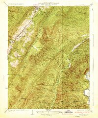
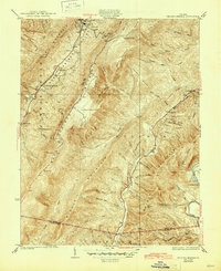
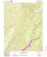
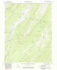
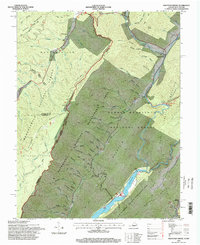
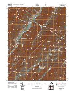
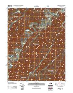
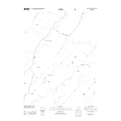
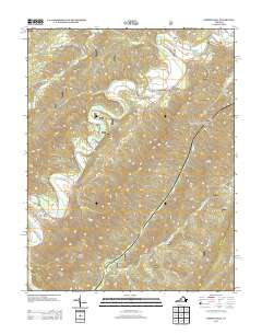
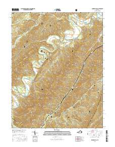
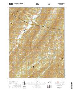
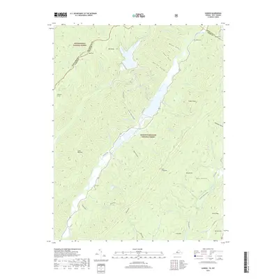
1933 Map of Healing Springs
USGS Topo · Published 1933About this map
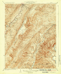
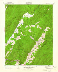
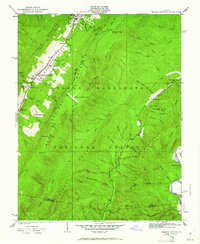
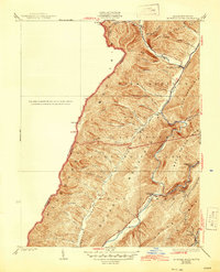
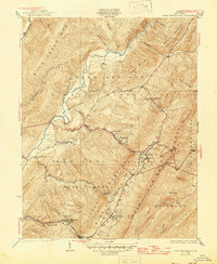
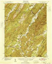
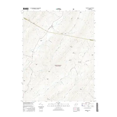
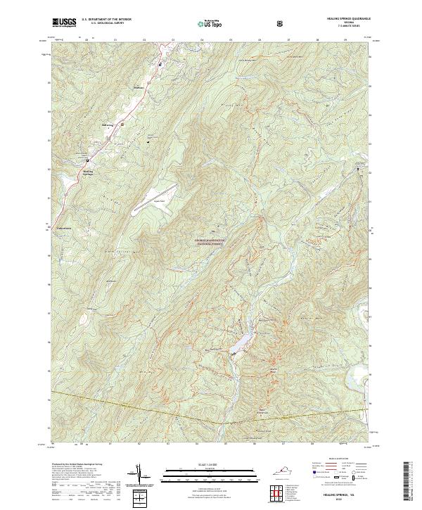
Warm Springs Valley serves as the central corridor for this early 1930s survey, defined by its historic thermal springs and emerging resort infrastructure. The presence of Hot Springs at the northern edge and Healing Springs to the south highlights the region's long-standing appeal, while modern additions like the Cascades Golf Club and Ingalls Landing Field signal the era's leisure-driven development. Away from the valley floor, the landscape rises into the ridges of Warm Springs Mountain and Millboro Mountain, where small mountain communities and landmarks like Holly House Farm and Tinkertown appear along the narrow hollows.
Find a feature on this map
57 named features on this map. Tap any name to fly to it.
Don’t see what you’re looking for? This feature index may not catch every label — zoom into the map to look around manually.
Map Details
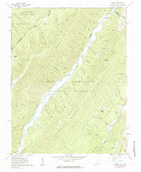
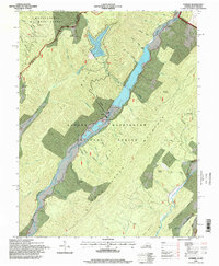
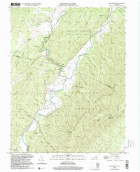
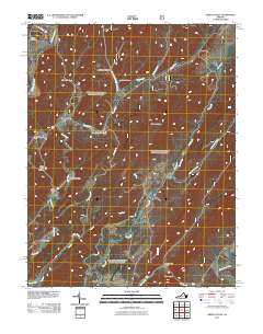
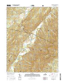
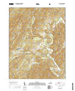
Editions of this 1933 Healing Springs Map
3 editions found
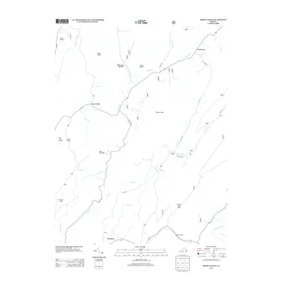
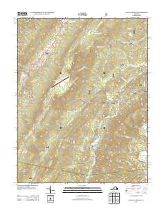
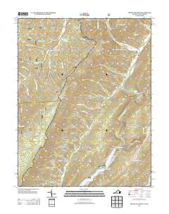
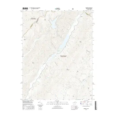
Historical Maps of Hot Springs Through Time
59 maps found

1930 Mountain Grove
Bath County, VA
1930 Warm Springs Run
Bath County, VA
1931 Healing Springs
Bath County, VA
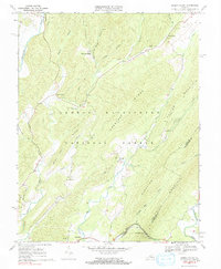
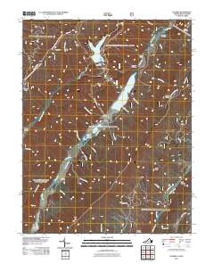
1933 Healing Springs
Bath County, VA
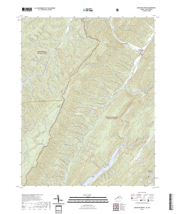
1933 Mountain Grove
Bath County, VA
1933 Warm Springs Run
Bath County, VA

1946 Williamsville
Bath County, VA
1949 Williamsville
Bath County, VA
1961 Mountain Grove
Bath County, VA
1961 Sunrise
Bath County, VA
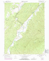
1966 Healing Springs
Bath County, VA
1968 Bath Alum
Bath County, VA
1969 Burnsville
Bath County, VA
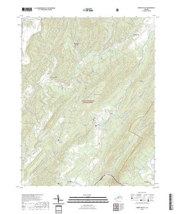
1969 Green Valley
Bath County, VA
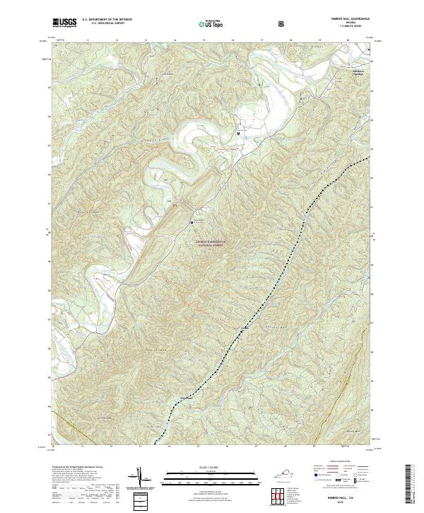
1969 Nimrod Hall
Bath County, VA
1969 Williamsville
Bath County, VA
1995 Mountain Grove
Bath County, VA
1995 Sunrise
Bath County, VA
1999 Williamsville
Bath County, VA
2011 Bath Alum
Bath County, VA
2011 Burnsville
Bath County, VA
2011 Green Valley
Bath County, VA
2011 Healing Springs
Bath County, VA
2011 Mountain Grove
Bath County, VA
2011 Nimrod Hall
Bath County, VA
2011 Sunrise
Bath County, VA
2011 Williamsville
Bath County, VA
2013 Bath Alum
Bath County, VA
2013 Burnsville
Bath County, VA
2013 Green Valley
Bath County, VA
2013 Healing Springs
Bath County, VA
2013 Mountain Grove
Bath County, VA
2013 Nimrod Hall
Bath County, VA
2013 Sunrise
Bath County, VA
2013 Williamsville
Bath County, VA
2016 Bath Alum
Bath County, VA
2016 Burnsville
Bath County, VA
2016 Green Valley
Bath County, VA
2016 Healing Springs
Bath County, VA
2016 Mountain Grove
Bath County, VA
2016 Nimrod Hall
Bath County, VA
2016 Sunrise
Bath County, VA
2016 Williamsville
Bath County, VA
2019 Bath Alum
Bath County, VA
2019 Burnsville
Bath County, VA
2019 Green Valley
Bath County, VA

2019 Healing Springs
Bath County, VA
2019 Mountain Grove
Bath County, VA
2019 Nimrod Hall
Bath County, VA
2019 Sunrise
Bath County, VA
2019 Williamsville
Bath County, VA
2022 Bath Alum
Bath County, VA
2022 Burnsville
Bath County, VA
2022 Green Valley
Bath County, VA
2022 Healing Springs
Bath County, VA
2022 Mountain Grove
Bath County, VA
2022 Nimrod Hall
Bath County, VA
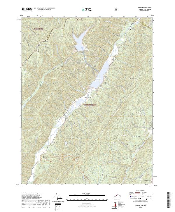
2022 Sunrise
Bath County, VA
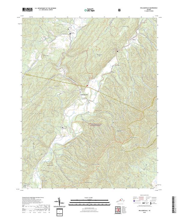
2022 Williamsville
Bath County, VA