2010s Maps of Bedford County, Virginia
Explore 96 historic maps of Bedford County from the 2010s. These maps offer a rare glimpse into what life looked like during the 2010s — showing old roads, neighborhoods, homes, and landmarks that have changed or disappeared over time.
Whether you're researching your family's past, planning a metal detecting trip, or studying how Bedford County's landscape evolved across the 2010s, these high-resolution maps are a powerful tool for exploring the history of this region.
- Focus on a specific era: All maps on this page are from the 2010s, giving you a focused view of this time period.
- See what’s changed: Compare century-old streets, trails, and buildings to today's modern landscape using overlays and satellite layers.
- Research with precision: Use these maps for genealogy, historical research, land use analysis, or educational projects.
- View, download, or print: Maps are fully viewable online in high resolution, and can be downloaded or printed for your own records.
Start exploring Bedford County's history through authentic maps from the 2010s. This is your window into the past.
Bedford County, VA maps
(96)- 2010 Map of Leesville, 2010 Print
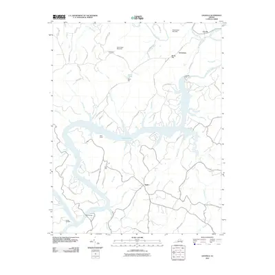 2010 Leesville2010 Print · USGSThe Roanoke River valley in 2010 centers on the waters of Leesville Lake and its surrounding rural communities. Genealogists and local historians can trace family locations near Stone Road Cemetery, Coles Quarter, and Brights.
 - 2010 Map of Forest, 2010 Print
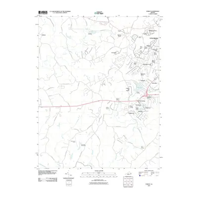 2010 Forest2010 Print · USGSBedford County's suburban corridors near Lynchburg are documented here at a time of significant residential expansion. Researchers can trace family history at the Callaway-Steptoe Cemetery or explore established communities like New London and Bedford Springs.
 - 2010 Map of Boonsboro, 2010 Print
 2010 Boonsboro2010 Print · USGSThe foothills west of Lynchburg are captured in the early twenty-first century, showing a mix of established rural communities and growing suburban areas. Researchers can locate family landmarks like Norwood Cemetery and North Cemetery or institutional sites such as the Eagle Eyrie Virginia Baptist Assembly.
 - 2010 Map of Irving, 2010 Print
 2010 Irving2010 Print · USGSBedford County's rural ridges and creek valleys are documented in the early twenty-first century, showing a landscape of small settlements and mountain peaks. Genealogists can locate family landmarks like Tate Cemetery, New Hope Cemetery, and the historic crossing at Rocky Ford.
 - 2010 Map of City Farm, 2010 Print
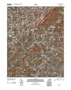 2010 City Farm2010 Print · USGSThe suburbs of Lynchburg and Campbell County are captured here during a period of significant institutional and residential growth. Genealogists and local historians can trace legacy family plots at Beulah Cemetery and Merryman Cemetery or locate landmarks like Brush Tavern.
 - 2010 Map of Moneta, 2010 Print
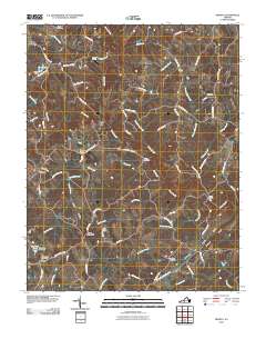 2010 Moneta2010 Print · USGSBedford County's rural character and long-standing family settlements are captured here in the years before recent growth. Genealogists and historians can trace local roots at Morgans Church, Bond Cemetery, and the historic crossroads of Davis Mill.
 - 2010 Map of Tobacco Row Mountain, 2010 Print
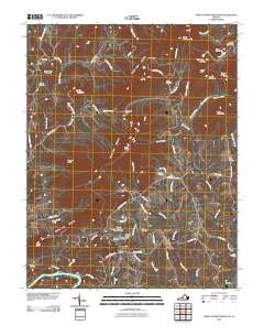 2010 Tobacco Row Mountain2010 Print · USGSAmherst County at the start of the twenty-first century remains a landscape of high ridges and deep family roots. Researchers can trace ancestral sites like Fletcher Cemetery, the community of Elon, and the distinctive slopes of Buffalo Spur.
 - 2010 Map of Bedford, 2010 Print
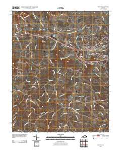 2010 Bedford2010 Print · USGSBedford and the surrounding Virginia countryside are captured here in the early twenty-first century as suburban growth meets long-standing rural crossroads. Genealogists and local historians can trace family plots at Otey Cemetery and Fairmount Cemetery or locate the site of Joppa Mill.
 - 2010 Map of Goodview, 2010 Print
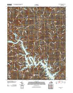 2010 Goodview2010 Print · USGSThe Smith Mountain Lake shoreline and surrounding Bedford County highlands are captured here in the early twenty-first century. Genealogists and historians can locate numerous family burial sites such as Basham Cemetery and historical crossings like Carters Island Ford.
 - 2010 Map of Lynch Station, 2010 Print
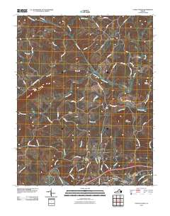 2010 Lynch Station2010 Print · USGSCampbell County’s rural landscape is captured here in the early twenty-first century, centered on the historic rail settlement of Lynch Station. Researchers can trace old family sites and local landmarks like Mount Hermon Cemetery, Evington, and the peaks of Johnson Mountain.
 - 2010 Map of Goode, 2010 Print
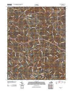 2010 Goode2010 Print · USGSBedford County's rural landscape is captured here in the decade following the turn of the millennium, showing a region defined by the Big Otter River and Little Otter River. Researchers can trace old family road names and locate landmarks like the Windy Ridge Airport, Markham Dam, and the settlement of Lowry.
 - 2010 Map of Huddleston, 2010 Print
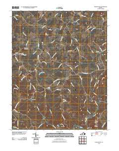 2010 Huddleston2010 Print · USGSBedford County during the early twenty-first century remains a landscape of prominent peaks and quiet creek valleys. Genealogists and local researchers can trace family landmarks like Leftwich Cemetery, Preston Millpond, and the settlement of Huddleston.
 - 2011 Map of Stewartsville, 2011 Print
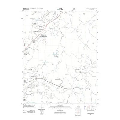 2011 Stewartsville2011 Print · USGSIn the hills east of Roanoke, this early 21st-century survey reveals a landscape of expanding residential enclaves and quiet rural hollows. Genealogists and historians can trace numerous family burial grounds including Saint Clair Cemetery and Foutz Cemetery near Stewartsville.
 - 2011 Map of Big Island, 2011 Print
 2011 Big Island2011 Print · USGSThe James River corridor in Bedford County comes into focus in this early twenty-first-century survey. Researchers can trace the legacy of river industry and rural life through landmarks like Big Island Dam, Ivy Hill Cemetery, and the settlement at Pedlar Mills.
 - 2011 Map of Arnold Valley, 2011 Print
 2011 Arnold Valley2011 Print · USGSBotetourt County at the dawn of the 2010s shows a landscape of mountain ridges and historic river settlements. Genealogists and historians can trace local roots through HighBridge Cemetery and Watson Cemetery or locate the industrial site of Glenwood Furnace.
 - 2011 Map of Snowden, 2011 Print
 2011 Snowden2011 Print · USGSThe James River corridor and Blue Ridge foothills are captured here in the early twenty-first century. Researchers and hikers can trace remote landmarks like Sharon Cemetery, early hydroelectric sites at Cushaw Dam, and trail waypoints including Thunder Hill Trail Shelter.
 - 2011 Map of Peaks of Otter, 2011 Print
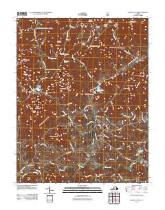 2011 Peaks of Otter2011 Print · USGSThe Blue Ridge high country of Bedford County is captured here in the early twenty-first century, centered on the famous peaks. Genealogists and historians can trace old milling sites like Kelso Mill and Big Otter Mill along the banks of the Big Otter River.
 - 2011 Map of Hardy, 2011 Print
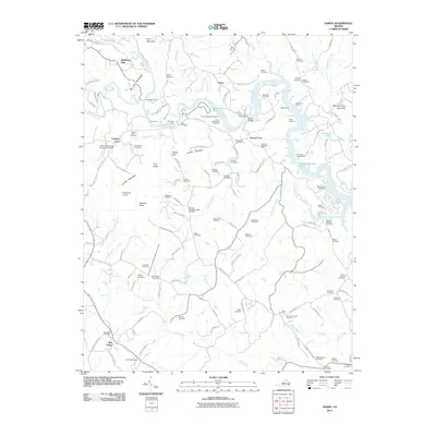 2011 Hardy2011 Print · USGSThe Blue Ridge foothills of Virginia are captured here in the early twenty-first century as modern lakes meet historic river crossings. Researchers can trace dozens of family burial plots like Nichols Cemetery or locate historic river points at Hardys Ford and Blackwater Ford.
 - 2011 Map of Lynchburg, 2011 Print
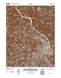 2011 Lynchburg2011 Print · USGSLynchburg and the James River corridor are shown here in the early twenty-first century, revealing a city shaped by its historic hills and river power. Genealogists and local historians can trace landmarks like Old City Cemetery, the Jefferson Street Tunnel, and Court House Hill.
 - 2011 Map of Montvale, 2011 Print
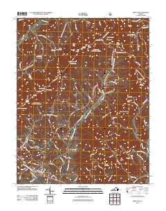 2011 Montvale2011 Print · USGSMontvale and the surrounding Bedford County ridges are captured here during the early twenty-first century. Genealogists and hikers can trace the paths near Montvale and Reba, or locate landmarks like the Royal Ambassador Camp and Bobblets Gap Shelter.
 - 2011 Map of Sedalia, 2011 Print
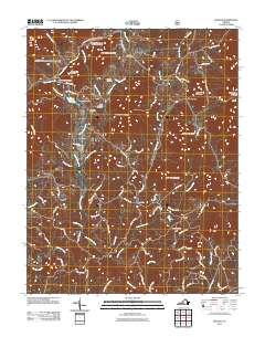 2011 Sedalia2011 Print · USGSThe foothills of Bedford County are captured here in the early twenty-first century, showing a rural landscape of ridges and creek valleys. Genealogists can locate several burial sites like the Old Ebenezer Cemetery and Coffee Cemetery, alongside old junctions at Coltons Mill and Otterville.
 - 2011 Map of Villamont, 2011 Print
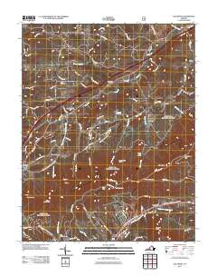 2011 Villamont2011 Print · USGSThe Botetourt County corridor comes alive in the early twenty-first century as a blend of rural settlements and mountain transit. Researchers can trace family history at Booze Cemetery or explore landmarks like Camp Bethel and Troutville.
 - 2012 Map of Moneta SW, 2012 Print
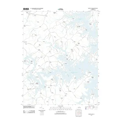 2012 Moneta SW2012 Print · USGSFranklin County's shoreline and rural interior are shown here as the lakefront communities reached maturity. Genealogists and local historians can trace family ties through dozens of named burial grounds like Halesford Cemetery and Pasley Cemetery or locate landmarks such as the Brammer Seaplane Base.
 - 2012 Map of Smith Mountain Dam, 2012 Print
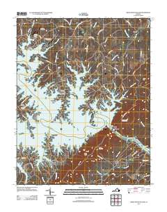 2012 Smith Mountain Dam2012 Print · USGSBedford County's landscape is defined by the expansive waters of Smith Mountain Lake in the early twenty-first century. Genealogists and local historians can trace legacy sites like Staunton Cemetery and Thomas Chapel Cemetery near modern landmarks like the Smith Mountain Dam.
 - 2013 Map of Irving, 2013 Print
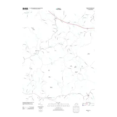 2013 Irving2013 Print · USGSBedford County's rural character is on full display in the early twenty-first century, showing a landscape defined by prominent knobs and creek valleys. Genealogists and local historians can trace family-named locations near Irving, Shady Grove, and Chamblissburg while identifying landmarks like Rocky Ford and Peach Orchard Mountain.
Showing maps 1-25 of 96
Top cities of Bedford County
Frequently asked questions
- What are the different types of historical maps available for Bedford County?
- What is the oldest map of Bedford County?
- Where can I purchase historical maps of Bedford County for my home or office?
- Where can I download high-res historical maps of Bedford County?
- Are there historical topographic maps available for Bedford County?
- Is there historical aerial imagery available for Bedford County?
- Where are historical maps of Bedford County sourced from?