Old Maps of Lawrenceville, Virginia for Metal Detecting
Plan your next treasure hunt with 22 historic maps of Lawrenceville. Find old homesites, ghost towns, trails, and gathering spots that may be lost to time — perfect for identifying promising metal detecting locations.
- Locate forgotten sites: Uncover places like long-lost settlements, abandoned rail lines, or gathering spots.
- Plan better hunts: Use map overlays combined with LiDAR or satellite views to narrow in on historically rich areas.
- Made for detectorists: Thousands of hobbyists use these maps to discover relics, coins, and hidden history.
Use these historic maps to boost your research and find new opportunities beneath the surface of Lawrenceville.
Lawrenceville, VA maps
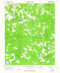
(22)- 1918 Map of Lawrenceville, 1963 Print
 1918 Lawrenceville1963 Print · USGSBrunswick and Dinwiddie Counties are shown here during the late days of the First World War, as the region's rail-and-river economy reached its peak. Genealogists can trace family roots through numerous rural landmarks like Sunnyside High School, Wheeler Mill, and Johnston Grove Church.
 - 1919 Map of White Plains
 1919 White Plains1919 Print · USGSSouthern Virginia and the North Carolina borderlands are captured here at the close of the Great War. Genealogists can trace early twentieth-century communities through family-named landmarks like Vincents Store, Hicks Mill, and Holly Springs Church.
 - 1920 Map of Lawrenceville
 1920 Lawrenceville1920 Print · USGSBrunswick County at the height of the steam-rail era shows a landscape crisscrossed by three major rail lines and dozens of small rural communities. Genealogists can trace family connections to many churches and schools, such as Little Mount Church (Colored), Masons Mill School, and the County Poor Farm.
 - 1920 Map of White Plains
 1920 White Plains1920 Print · USGSThe Virginia and North Carolina borderlands come to life in this 1920 survey of the Meherrin and Roanoke river basins. Genealogists can trace family names at Drumgoole Store and Phipps Store, or locate old schoolhouse sites like Meherrin School and Webb School.4 unique versions available
 - 1921 Map of Lawrenceville
 1921 Lawrenceville1921 Print · USGSBrunswick County in the years following the Great War shows a landscape defined by its bustling rail junctions and riverside mills. Genealogists and local historians can trace family-named sites like Meredithville P.O., Barrows Store, and the County Poor Farm.2 unique versions available
 - 1942 Map of Lawrenceville
 1942 Lawrenceville1942 Print · USGSBrunswick County at the start of the 1940s is defined by its busy rail junctions and a landscape of small rural schoolhouses. Trace the origins of local families near Lawrenceville or find old community centers like Charlie Hope and Price Mill.
 - 1953 Map of Norfolk, 1954 Print
 1953 Norfolk1954 Print · USGSCoastal Virginia and northeastern North Carolina appear here during the post-war industrial boom, showing the critical rail-and-sea connections of Hampton Roads. Genealogists can trace family roots through rural landmarks like Gethsemane Ch, the Caledonia State Prison Farm, and the vast interior of the Dismal Swamp.4 unique versions available
 - 1963 Map of Powellton, 1964 Print
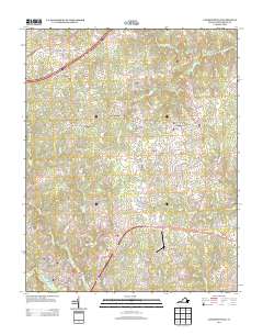
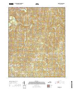
 1963 Powellton1964 Print · USGSBrunswick County in the early sixties reveals a landscape shaped by the Meherrin River and long-standing family settlements. Genealogists can locate numerous rural burial sites and landmarks like Sculthorp Cem, James Square Ch, and Fort Christanna.3 unique versions available
 - 1963 Map of Lawrenceville, 1964 Print
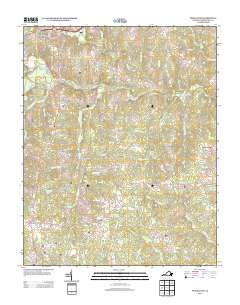
 1963 Lawrenceville1964 Print · USGSBrunswick County at the start of the 1960s is a landscape defined by its rail junctions and academic roots. Genealogists and historians can trace the rail corridors through Alberta and Dolphin or locate family sites like Shart Chapel and St Pauls College.2 unique versions available
 - 1984 Map of Emporia, 1986 Print
 1984 Emporia1986 Print · USGSSouthside Virginia and the North Carolina borderlands are captured here in the mid-1980s, centered on the transit hub of Emporia. Researchers can trace old rail corridors like the Seaboard System or locate historic sites including Fort Christanna and White Oak Ch.
 - 1990 Map of Emporia
 1990 Emporia1990 Print · USGSThe Southside Virginia borderlands are captured here in the late twentieth century, showing the critical rail and river networks of the region. Genealogists and local historians can trace family roots through rural communities like Alberta, Boykins, and Dolphin along the Meherrin River.
 - 1997 Map of Lawrenceville, 1999 Print
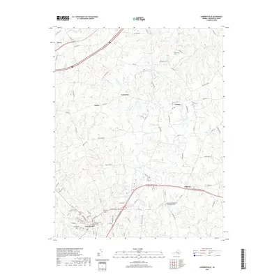
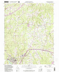 1997 Lawrenceville1999 Print · USGSLawrenceville and the surrounding Southside Virginia countryside appear here in the late nineties, showing a landscape defined by small communities and local creeks. Genealogists can trace family footprints at St Pauls Cem or locate rural schools like Russell Sch and the community at Dolphin.
 - 2010 Map of Powellton, 2010 Print
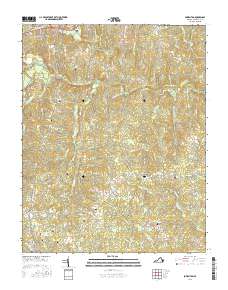
 2010 Powellton2010 Print · USGSCovers Lawrenceville, including Greentown, Wyche, and other nearby areas
 - 2010 Map of Lawrenceville, 2010 Print
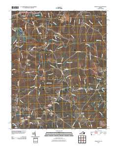
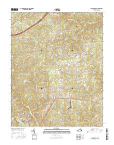
 2010 Lawrenceville2010 Print · USGSCovers Lawrenceville, including Alberta, Dolphin, and other nearby areas
 - 2013 Map of Powellton, 2013 Print
 2013 Powellton2013 Print · USGSCovers Lawrenceville, including Greentown, Wyche, and other nearby areas
 - 2013 Map of Lawrenceville, 2013 Print
 2013 Lawrenceville2013 Print · USGSCovers Lawrenceville, including Alberta, Dolphin, and other nearby areas
 - 2016 Map of Powellton, 2016 Print
 2016 Powellton2016 Print · USGSCovers Lawrenceville, including Greentown, Wyche, and other nearby areas
 - 2016 Map of Lawrenceville, 2016 Print
 2016 Lawrenceville2016 Print · USGSCovers Lawrenceville, including Alberta, Dolphin, and other nearby areas
 - 2019 Map of Powellton, 2019 Print
 2019 Powellton2019 Print · USGSCovers Lawrenceville, including Greentown, Wyche, and other nearby areas
 - 2019 Map of Lawrenceville, 2019 Print
 2019 Lawrenceville2019 Print · USGSCovers Lawrenceville, including Alberta, Dolphin, and other nearby areas
 - 2022 Map of Lawrenceville, 2022 Print
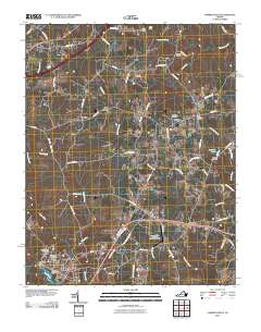
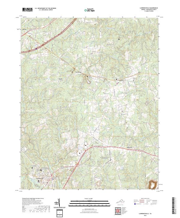 2022 Lawrenceville2022 Print · USGSBrunswick County serves as the backdrop for this detailed study of the area near the state's southern border. Researchers can trace family history through sites like Oakwood Cem or explore early crossroads at Dolphin and Cool Spring.
 - 2022 Map of Powellton, 2022 Print
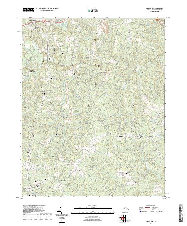 2022 Powellton2022 Print · USGSBrunswick County south of Lawrenceville remains a landscape defined by its river-crossings and colonial-era outposts. Genealogists and historians can trace numerous family burial grounds like Sign Rock Cem and the significant historical site of Fort Christanna.
End of results
Showing maps 1-22 of 22
Top cities near Lawrenceville
- La Crosse historical maps
- McKenney historical maps
- Gasburg historical maps
- Alberta historical maps
- Brodnax historical maps
- Ebony historical maps
Frequently asked questions
- What are the different types of historical maps available for Lawrenceville?
- What is the oldest map of Lawrenceville?
- Where can I purchase historical maps of Lawrenceville for my home or office?
- Where can I download high-res historical maps of Lawrenceville?
- Are there historical topographic maps available for Lawrenceville?
- Is there historical aerial imagery available for Lawrenceville?
- Where are historical maps of Lawrenceville sourced from?