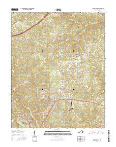
2016 Map of Lawrenceville
USGS Topo · Published 2016About this map
Lawrenceville serves as the focal point of this Southside Virginia landscape, situated amidst a dense network of country roads and waterways. The town's historical fabric is evident in the inclusion of Oakwood Cem and Saint Pauls Cem, providing valuable points of reference for genealogists. To the north and east, the settlements of Alberta, Dolphin, and Edgerton are connected by routes such as Boydton Plank Rd and Old Tobacco Dr, reflecting the region's agricultural heritage.
Find a feature on this map
87 named features on this map. Tap any name to fly to it.
Don’t see what you’re looking for? This feature index may not catch every label — zoom into the map to look around manually.
Map Details
Editions of this 2016 Lawrenceville Map
This is the sole edition of this map. No revisions or reprints were ever made.
Other maps of this area

1918 · Lawrenceville
USGS Topo · 1:62,500

1919 · Mc Kenney
USGS Topo · 1:48,000

1919 · White Plains
USGS Topo · 1:48,000

1919 · Emporia
USGS Topo · 1:62,500

1920 · Lawrenceville
USGS Topo · 1:48,000

1920 · White Plains
USGS Topo · 1:62,500

1921 · Mc Kenney
USGS Topo · 1:62,500

1921 · Lawrenceville
USGS Topo · 1:62,500

1942 · Lawrenceville
USGS Topo · 1:62,500

1942 · Emporia
USGS Topo · 1:62,500