2020s Maps of Carroll County, Virginia
Explore 18 historic maps of Carroll County from the 2020s. These maps offer a rare glimpse into what life looked like during the 2020s — showing old roads, neighborhoods, homes, and landmarks that have changed or disappeared over time.
Whether you're researching your family's past, planning a metal detecting trip, or studying how Carroll County's landscape evolved across the 2020s, these high-resolution maps are a powerful tool for exploring the history of this region.
- Focus on a specific era: All maps on this page are from the 2020s, giving you a focused view of this time period.
- See what’s changed: Compare century-old streets, trails, and buildings to today's modern landscape using overlays and satellite layers.
- Research with precision: Use these maps for genealogy, historical research, land use analysis, or educational projects.
- View, download, or print: Maps are fully viewable online in high resolution, and can be downloaded or printed for your own records.
Start exploring Carroll County's history through authentic maps from the 2020s. This is your window into the past.
Carroll County, VA maps
(18)- 2022 Map of Cumberland Knob, 2022 Print
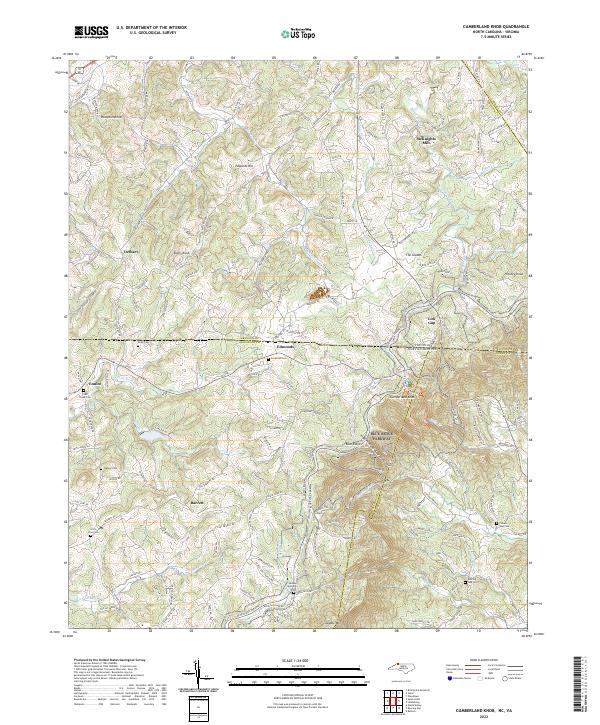 2022 Cumberland Knob2022 Print · USGSThe high country along the North Carolina and Virginia border is documented here in the early twenty-first century. Researchers can trace ancestral sites at Savannah Cem and McKnights Mill or explore the terrain surrounding Cumberland Knob.
 - 2022 Map of Mount Airy North, 2022 Print
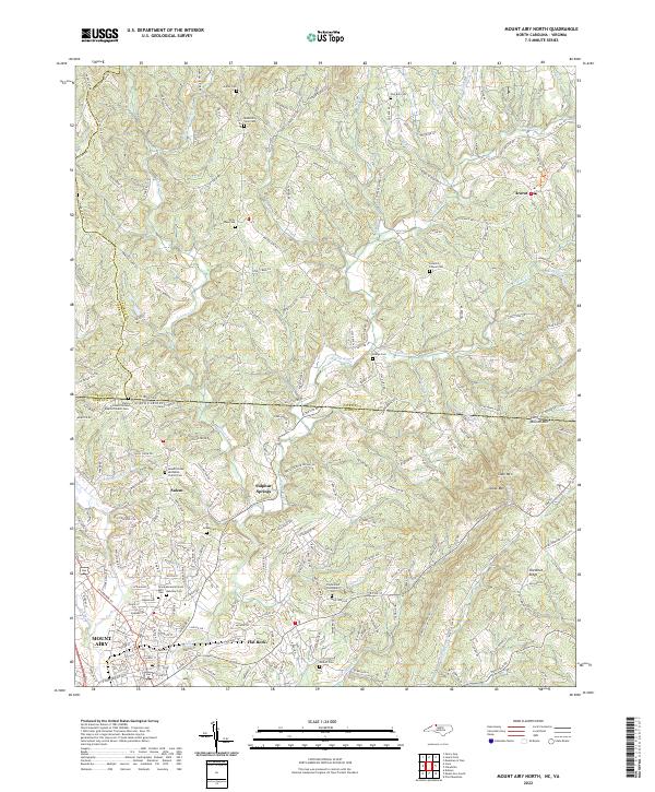 2022 Mount Airy North2022 Print · USGSThe foothills of the Blue Ridge Mountains come alive in this modern survey of the North Carolina and Virginia borderlands. Researchers can trace family history through numerous remote burial sites like Hunters Chapel Cemetery and Pedigo Cemetery, or explore the rural hubs of Ararat and Salem.
 - 2022 Map of Cripple Creek, 2022 Print
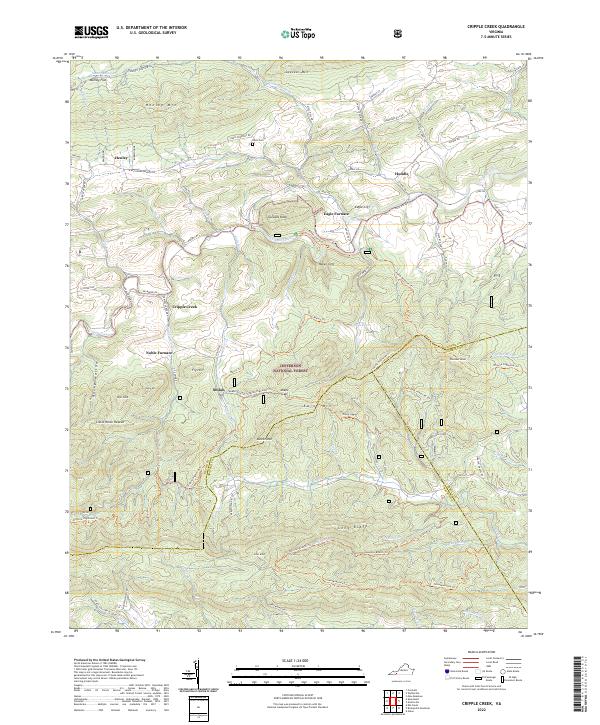 2022 Cripple Creek2022 Print · USGSThe iron-rich valleys of Southwest Virginia come alive in this survey of the borders where Wythe, Carroll, and Grayson counties converge. Researchers can trace industrial history at Eagle Furnace and Noble Furnace or locate family sites near Davis Cem and Shiloh.
 - 2022 Map of Laurel Fork, 2022 Print
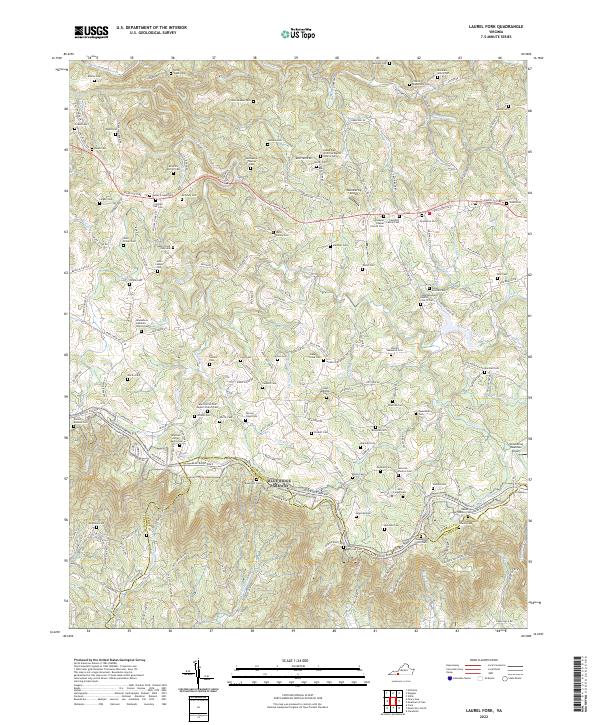 2022 Laurel Fork2022 Print · USGSThe Blue Ridge Highlands of Carroll and Patrick counties appear in this 2022 survey, showcasing the winding Blue Ridge Parkway and the many families who shaped this land. Genealogists can trace hundreds of names across small family plots like the Henry Floyd Vass Cem, Daniel Dickens Cem, and Shadrick Worrell Cem.
 - 2022 Map of Meadows of Dan, 2022 Print
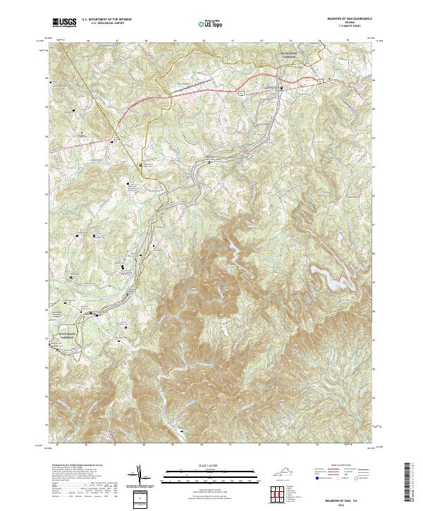 2022 Meadows of Dan2022 Print · USGSHigh atop the Blue Ridge in the early 2020s, this area maintains its character as a landscape of small family homesteads and mountain churches. Genealogists can trace family lines through the James Bowman Cem, Stanley Cem, and Mayberry Presbyterian Church Cem.
 - 2022 Map of Fancy Gap, 2022 Print
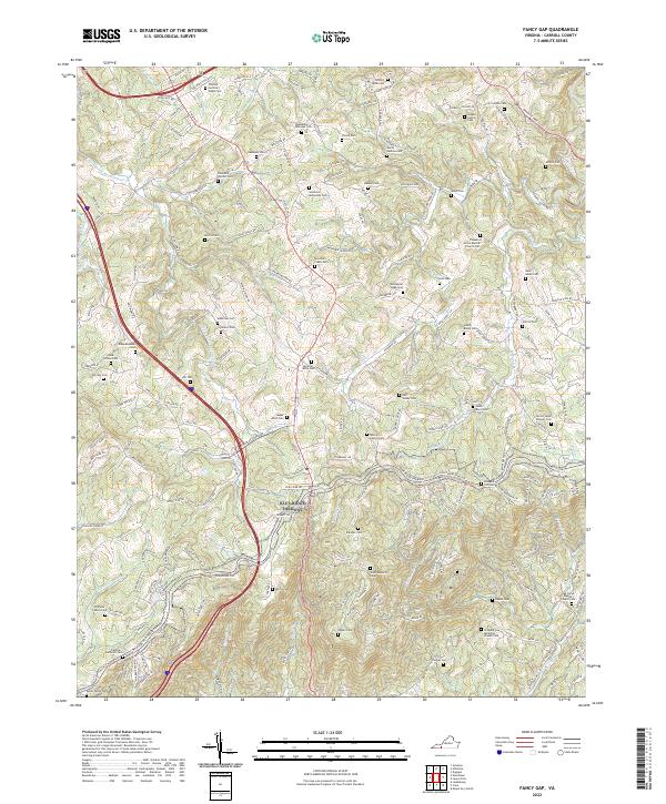 2022 Fancy Gap2022 Print · USGSThe Blue Ridge highlands of Carroll County are revealed here in recent detail, showing a landscape defined by deep family roots. Genealogists can locate dozens of ancestral burial sites, from the Quesenberry-Semones Cem to the Hill Cem and Jesse Bond Cem.
 - 2022 Map of Willis, 2022 Print
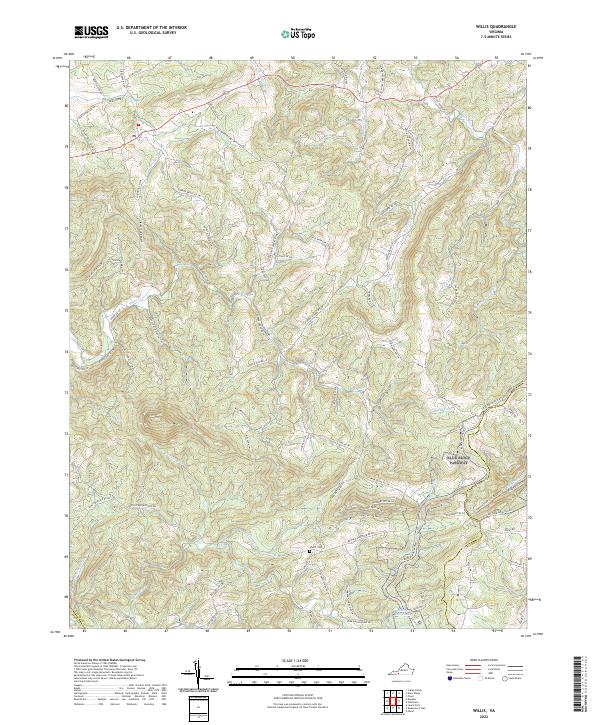 2022 Willis2022 Print · USGSThe high ridges of Floyd and Patrick counties are captured here in the early twenty-first century, centered on the Blue Ridge Parkway. Researchers can trace local genealogy and land use through features like the Shelor Cem, Mabry Mill Pond, and Willis Mill Rd NW.
 - 2022 Map of Indian Valley, 2022 Print
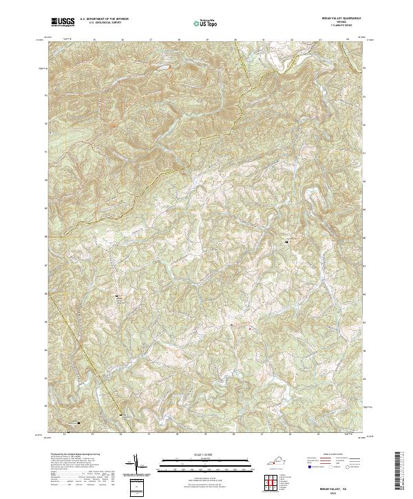 2022 Indian Valley2022 Print · USGSFloyd and Montgomery counties are captured in this modern survey of the Blue Ridge highlands. Genealogists and local historians can trace family land via Big Sand Cem, the Tade Quesenberry Cem, and the remote Lost Cem along the Mira Fork.
 - 2022 Map of Austinville, 2022 Print
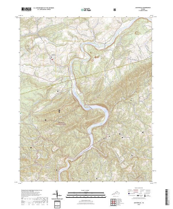 2022 Austinville2022 Print · USGSThe New River and Cripple Creek converge at the Wythe and Carroll County border in this contemporary study of Virginia's Blue Ridge highlands. Genealogists can locate numerous family-named burial grounds like Burnett - Hanks Cem, Frazier Cem, and the Independent Order of Odd Fellows Cem.
 - 2022 Map of Fosters Falls, 2022 Print
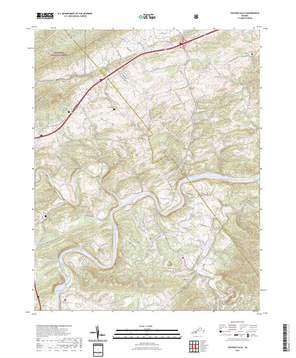 2022 Fosters Falls2022 Print · USGSThe New River valley in southwest Virginia reveals a landscape of deep river bends and historical rural settlements. Trace family heritage and industrial remnants at Foster Falls, the New River Trail, and several family cemeteries including Johnson Cem.
 - 2022 Map of Woodlawn, 2022 Print
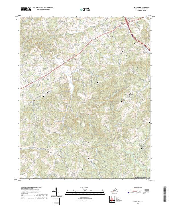 2022 Woodlawn2022 Print · USGSCarroll County, Virginia, is captured in this modern survey of its rural highlands, where ancestral cemeteries and creek-side roads define the community. Genealogists can trace family burial sites like John Henry Gardner Cem and Oakland Cem near the winding Crooked Creek.
 - 2022 Map of Lambsburg, 2022 Print
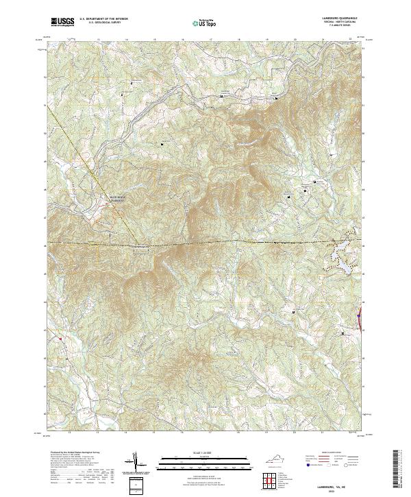 2022 Lambsburg2022 Print · USGSThe Blue Ridge Parkway winds along the Virginia-North Carolina border during the early 2020s, tracing the high ridges of the Blue Ridge Mountains. Researchers can locate numerous family burial sites and rural churches like Fellowship Tabernacle Cem, Zion Hill Cem, and Parish Cem tucked among the headwaters of Stewarts Creek.
 - 2022 Map of Sylvatus, 2022 Print
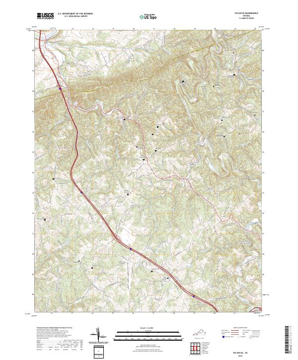 2022 Sylvatus2022 Print · USGSThis survey of the Wythe and Carroll County border area captures the rural character of southwest Virginia during the early 2020s. Genealogists can trace family heritage through numerous sites like Chitwood Cem, Shiloh United Methodist Church, and the Twin County Airport.
 - 2022 Map of Hiwassee, 2022 Print
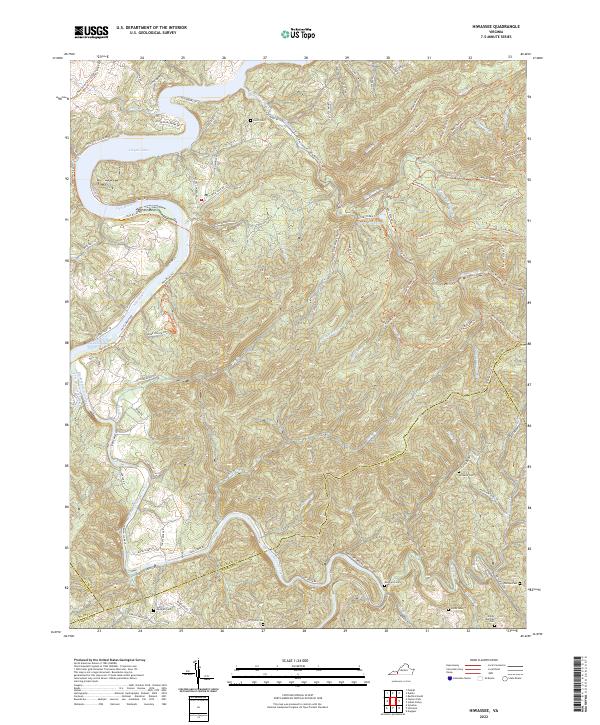 2022 Hiwassee2022 Print · USGSThe New River valley and the waters of Claytor Lake define this Virginia landscape at the start of the 2020s. Genealogists can locate several family burial sites like Hurst Cem and Jimmy Marshall Cem tucked among the ridges.
 - 2022 Map of Dugspur, 2022 Print
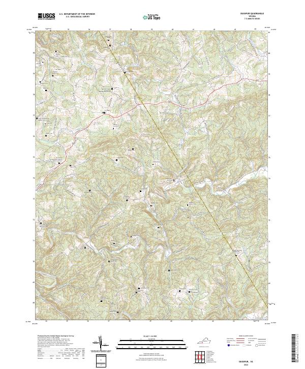 2022 Dugspur2022 Print · USGSThe Blue Ridge highlands of Carroll and Floyd counties are shown here in the early twenty-first century, centered on the landmark Buffalo Mountain. Genealogists and historians can trace family roots through numerous sites like William Cox Cem, Mitchell Chapel Pentecostal Holiness Church Cem, and McPeak Cem.
 - 2022 Map of Cana, 2022 Print
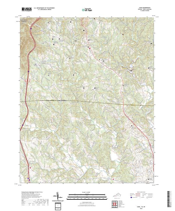 2022 Cana2022 Print · USGSSpanning the Virginia and North Carolina border in 2022, this map details a rural landscape of ridges and family-held land. Genealogists can trace deep local roots through small burial sites like the Nathaniel Samuel Jones Family Cem and the Rocky Ford Cem.
 - 2022 Map of Hillsville, 2022 Print
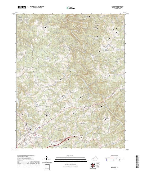 2022 Hillsville2022 Print · USGSHillsville and the surrounding Carroll County highlands appear in this modern survey with exceptional detail on family heritage. Researchers can trace dozens of ancestral burial sites, including the Montgomery-Smith Cem, Old Gilmer Chapel Cem, and Wilkinson Memorial Cem.
 - 2022 Map of Galax, 2022 Print
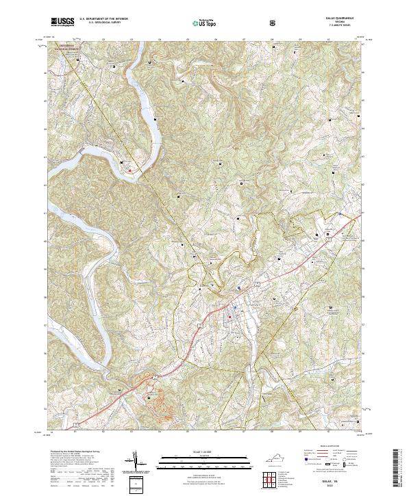 2022 Galax2022 Print · USGSThe river town of Fries and the fringes of the Jefferson National Forest are documented here in the early 2020s. Genealogists and local historians can trace modern access to numerous family-named landmarks and the traditional riverfront settlement.
End of results
Showing maps 1-18 of 18
Top cities of Carroll County
Frequently asked questions
- What are the different types of historical maps available for Carroll County?
- What is the oldest map of Carroll County?
- Where can I purchase historical maps of Carroll County for my home or office?
- Where can I download high-res historical maps of Carroll County?
- Are there historical topographic maps available for Carroll County?
- Is there historical aerial imagery available for Carroll County?
- Where are historical maps of Carroll County sourced from?