2000s (21st Century) Maps of Carroll County, Virginia
Explore 90 historic maps of Carroll County from the 2000s (21st Century). These maps offer a rare glimpse into what life looked like during the 2000s — showing old roads, neighborhoods, homes, and landmarks that have changed or disappeared over time.
Whether you're researching your family's past, planning a metal detecting trip, or studying how Carroll County's landscape evolved across the 2000s, these high-resolution maps are a powerful tool for exploring the history of this region.
- Focus on a specific era: All maps on this page are from the 2000s, giving you a focused view of this time period.
- See what’s changed: Compare century-old streets, trails, and buildings to today's modern landscape using overlays and satellite layers.
- Research with precision: Use these maps for genealogy, historical research, land use analysis, or educational projects.
- View, download, or print: Maps are fully viewable online in high resolution, and can be downloaded or printed for your own records.
Start exploring Carroll County's history through authentic maps from the 2000s. This is your window into the past.
Carroll County, VA maps
(90)- 2010 Map of Sylvatus, 2010 Print
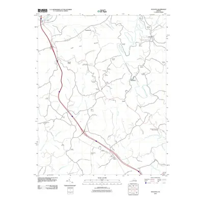 2010 Sylvatus2010 Print · USGSCarroll County settlements and ancestral burial grounds are meticulously documented in this modern survey of the Blue Ridge foothills. Genealogists can trace family locations through Osbourne Cemetery, the historic Jackson Ferry, and the community of Sylvatus.
 - 2010 Map of Dugspur, 2010 Print
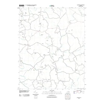 2010 Dugspur2010 Print · USGSIn the early twenty-first century, this Carroll County landscape remains deeply tied to its generational roots and highland geography. Genealogists and historians can trace numerous family burial sites and landmarks like Mitchell Chapel Cemetery, State Prison Camp Number 5, and the settlement of Dugspur.
 - 2010 Map of Hillsville, 2010 Print
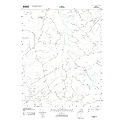 2010 Hillsville2010 Print · USGSHillsville and the surrounding Blue Ridge highlands are captured in this 2010 survey, showing a landscape deeply tied to family lineage and rural hubs. Genealogists can trace hundreds of names at sites like John Patterson Webb Cemetery or the Carter-Wilkerson Cemetery near Mabry Crossroads.
 - 2010 Map of Indian Valley, 2010 Print
 2010 Indian Valley2010 Print · USGSThe Virginia highlands near Indian Valley are documented here in the early twenty-first century, showing a landscape of scattered mountain settlements and family homesteads. Genealogists can locate several burial grounds including Tade Quesenberry Cemetery, Big Sand Cemetery, and Lost Cemetery.
 - 2010 Map of Fancy Gap, 2010 Print
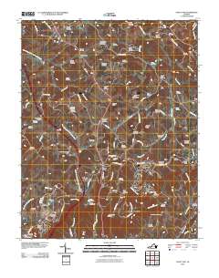 2010 Fancy Gap2010 Print · USGSFancy Gap and the surrounding Blue Ridge highlands are captured here in the early twenty-first century. Genealogists can trace a remarkable number of family burial sites, including the Skyview-Webb Cemetery and Quesenberry-Semones Cemetery.
 - 2010 Map of Woodlawn, 2010 Print
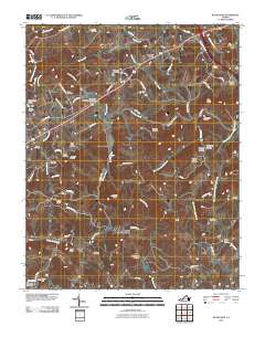 2010 Woodlawn2010 Print · USGSThe Woodlawn area of Carroll County appears here in the early twenty-first century, showing a deeply rooted rural landscape of the Blue Ridge foothills. Genealogists can locate numerous burial sites like Mount Olivet Cemetery and trace the paths through Pipers Gap and Higgins Crossroads.
 - 2010 Map of Willis, 2010 Print
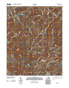 2010 Willis2010 Print · USGSThe Floyd County highlands are captured here in the early twenty-first century as the Blue Ridge Pkwy traverses the ridgelines. Local historians can locate landmarks like the iconic Mabry Mill, the remote Shelor Cemetery, and the high peak of Buffalo Mountain.
 - 2010 Map of Laurel Fork, 2010 Print
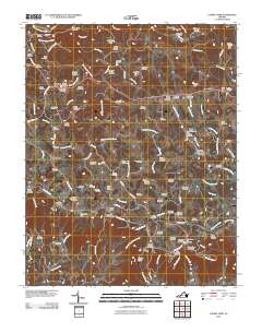 2010 Laurel Fork2010 Print · USGSCarroll County’s highland communities and family burial grounds are meticulously preserved in this study of the Blue Ridge front. Genealogists and historians can trace lineage across dozens of sites like the Groundhog Hill Cemetery and Strock Chapel Cemetery near Laurel Fork.
 - 2010 Map of Hiwassee, 2010 Print
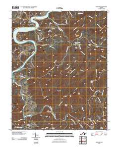 2010 Hiwassee2010 Print · USGSPulaski County at the start of the 2010s reveals a landscape of deep river bends and mountain hollows along the New River. Genealogists and local researchers can locate numerous family burial sites like Hurst Cemetery and settlements such as Allisonia or Mack Creek Village.
 - 2010 Map of Mount Airy North, 2010 Print
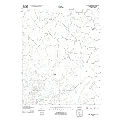 2010 Mount Airy North2010 Print · USGSSurry County communities north of the city center appear at the start of the decade, showing the transition from industry to mountain foothills. Researchers can trace family history through numerous rural burial sites like Gods Acre Cemetery and locate the expansive Flat Rock Quarry.
 - 2010 Map of Cana, 2010 Print
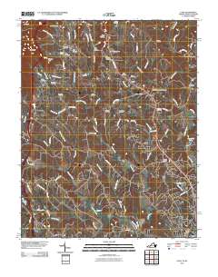 2010 Cana2010 Print · USGSThe foothills of the Blue Ridge along the Virginia-North Carolina border are captured here at a time of quiet rural persistence. Genealogists can trace family footprints through dozens of burial grounds including Flower Gap Cemetery, Saint Paul Cemetery, and the community of Cana.
 - 2010 Map of Lambsburg, 2010 Print
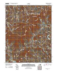 2010 Lambsburg2010 Print · USGSHigh in the mountains along the Virginia border during the early 2000s, this area shows a landscape of steep ridges and family-run homesteads. Genealogists can trace local roots through numerous burial sites like Zion Hill Cemetery, Parish Cemetery, and Mount Carroll Cemetery.
 - 2011 Map of Fosters Falls, 2011 Print
 2011 Fosters Falls2011 Print · USGSThe iron and milling heritage of Wythe County is preserved here in the early twenty-first century along the banks of the New River. Historians can trace the locations of Boom Furnace, High Rocks Mill, and the riverside community of Fosters Falls.
 - 2011 Map of Austinville, 2011 Print
 2011 Austinville2011 Print · USGSMining settlements and hydroelectric dams line the New River in this corner of Wythe County during the early twenty-first century. Genealogists can trace family names through the Independent Order of Odd Fellows Cemetery or locate old industrial sites like the Ivanhoe Shaft and Thorn Ferry.
 - 2011 Map of Galax, 2011 Print
 2011 Galax2011 Print · USGSThe river and rail corridor near Galax, Virginia, is shown here in the early 2000s, centered on the New River and its historical industrial sites. Local historians can locate dozens of family-named burial sites including the Old Quaker Cemetery and Smith-Byrd Cemetery, or trace the New River State Park Trail.
 - 2011 Map of Cripple Creek, 2011 Print
 2011 Cripple Creek2011 Print · USGSCripple Creek and the surrounding Wythe County highlands are shown here in the early twenty-first century. Researchers can trace the legacy of local industry at Noble Furnace or locate family sites near Davis Cemetery and the settlement of Shiloh.
 - 2011 Map of Meadows of Dan, 2011 Print
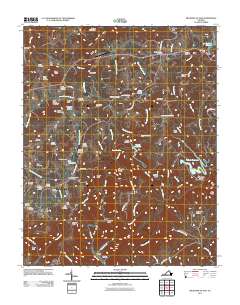 2011 Meadows of Dan2011 Print · USGSThe Blue Ridge highlands meet the upper Dan River in this 2011 survey of Patrick County. Local historians can trace a significant network of family burial sites including the Reed Island Springs Cemetery and visit historic landmarks like Mabry Mill.
 - 2011 Map of Cumberland Knob, 2011 Print
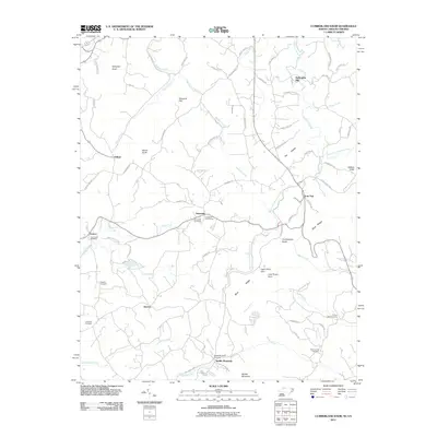 2011 Cumberland Knob2011 Print · USGSThe Blue Ridge high country is documented here in the early twenty-first century, showing the crossroads where North Carolina and Virginia meet. Genealogists can trace family roots through several local burial grounds, including Little Pine Cemetery, Fishers Gap Cemetery, and Roaring Gap Cemetery.
 - 2013 Map of Mount Airy North, 2013 Print
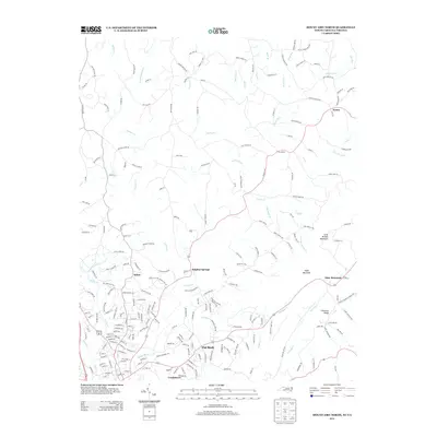 2013 Mount Airy North2013 Print · USGSThe North Carolina and Virginia borderlands come into focus in the early 2010s as the suburbs and rural reaches north of Mount Airy continue to evolve. Genealogists and local historians can trace the roads and waterways connecting Sulphur Springs, Flat Rock, and Ararat.
 - 2013 Map of Cumberland Knob, 2013 Print
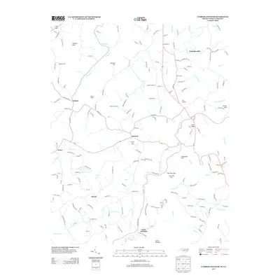 2013 Cumberland Knob2013 Print · USGSThe North Carolina-Virginia borderlands are captured here in 2013, showing a landscape of high ridges and rural settlements. Genealogists and local historians can trace family-named locations such as McKnights Mill, Edwards Hill, and the community of Edmonds.
 - 2013 Map of Hiwassee, 2013 Print
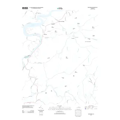 2013 Hiwassee2013 Print · USGSThe New River valley and Claytor Lake shoreline are captured here in the early twenty-first century. Genealogists and local historians can trace family-named sites across the ridges, from Rustin Hollow and Allisonia to the peaks of Irish Mountain.
 - 2013 Map of Hillsville, 2013 Print
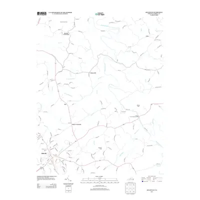 2013 Hillsville2013 Print · USGSHillsville and the surrounding Carroll County countryside are captured here in the early twenty-first century, showing the established network of rural roads and waterways. Genealogists and local researchers can trace family landmarks near Mabry Crossroads, Liberty Hill, and the Longshoal Lookout Tower.
 - 2013 Map of Fancy Gap, 2013 Print
 2013 Fancy Gap2013 Print · USGSThe Blue Ridge mountains of Carroll County come into focus here during the early twenty-first century. Genealogists and hikers can trace the intersection of the Blue Ridge Pkwy with local landmarks like Fancy Gap, Red Hill, and the Old Appalachian Trl.
 - 2013 Map of Meadows of Dan, 2013 Print
 2013 Meadows of Dan2013 Print · USGSPatrick County's high country is captured here during the early twenty-first century, showing the dramatic transition from mountain plateaus to deep river gorges. Local historians can locate the Cockram Mill, trace the Blue Ridge Pkwy, and explore the rugged Pinnacles of Dan.
 - 2013 Map of Sylvatus, 2013 Print
 2013 Sylvatus2013 Print · USGSThe foothills of Carroll County are shown here in the early twenty-first century, centered on the historic crossroads of Sylvatus. Researchers can trace the local landscape from Poplar Camp Mountain down to the New River at Jackson Ferry and Wildwood.
Showing maps 1-25 of 90
Top cities of Carroll County
Frequently asked questions
- What are the different types of historical maps available for Carroll County?
- What is the oldest map of Carroll County?
- Where can I purchase historical maps of Carroll County for my home or office?
- Where can I download high-res historical maps of Carroll County?
- Are there historical topographic maps available for Carroll County?
- Is there historical aerial imagery available for Carroll County?
- Where are historical maps of Carroll County sourced from?