Old Maps of Montpelier, Virginia for Metal Detecting
Plan your next treasure hunt with 18 historic maps of Montpelier. Find old homesites, ghost towns, trails, and gathering spots that may be lost to time — perfect for identifying promising metal detecting locations.
- Locate forgotten sites: Uncover places like long-lost settlements, abandoned rail lines, or gathering spots.
- Plan better hunts: Use map overlays combined with LiDAR or satellite views to narrow in on historically rich areas.
- Made for detectorists: Thousands of hobbyists use these maps to discover relics, coins, and hidden history.
Use these historic maps to boost your research and find new opportunities beneath the surface of Montpelier.
Montpelier, VA maps
(18)- 1918 Map of Charles City
 1918 Charles City1918 Print · USGSCoastal Virginia at the end of the Great War reveals a landscape of riverfront wharves and rural schoolhouses. Genealogists can trace family roots through sites like the Samaria Indian School, Parish Hill Church, and Harrisons Landing.4 unique versions available
 - 1943 Map of Richmond, 1972 Print
 1943 Richmond1972 Print · USGSCoastal Virginia and the state capital are shown in detail during the mid-century era of infrastructure expansion. Genealogists and historians can trace the grounds of Richmond Nat Battlefield Park, locate the Yorktown Nat Cem, or follow the many rural routes through Amelia Court House and Tappahannock.
 - 1949 Map of Richmond, 1951 Print
 1949 Richmond1951 Print · USGSCoastal Virginia in the years following World War II remained a landscape of historic river towns and expanding military bases. Genealogists and historians can trace the rail lines of the Southern Ry and locate established landmarks from Camp Lee to the remote reaches of Dragon Swamp.
 - 1953 Map of Roxbury, 1957 Print
 1953 Roxbury1957 Print · USGSCharles City and Henrico counties appear here in the early fifties, documenting a landscape of riverfront plantations and inland crossroads. Researchers can trace rural landmarks like the Samaria Indian Sch, the National Cem, and family sites like Hughes Store.
 - 1953 Map of Charles City, 1960 Print
 1953 Charles City1960 Print · USGSCoastal Virginia during the mid-fifties reveals a landscape defined by historic James River plantations and rural crossroads. Genealogists and historians can trace family-named sites from Berkeley and Westover to local landmarks like Ednas Mill and Merchant Hope Ch.2 unique versions available
 - 1959 Map of Richmond
 1959 Richmond1959 Print · USGSMid-century Virginia is captured here at its most vital rail and river junctions, from the capital city to the Chesapeake Bay. Genealogists and historians can trace the development of colonial settlements like Williamsburg and military landmarks including Fort Monroe and Camp Lee.
 - 1964 Map of Richmond
 1964 Richmond1964 Print · USGSCoastal and central Virginia are mapped during the mid-twentieth century, showing the critical intersection of rail, river, and military life. Genealogists can trace family roots through rural county seats like Amelia or find vanished coastal neighborhoods near Phoebus and Hilton Village.
 - 1965 Map of Roxbury, 1967 Print
 1965 Roxbury1967 Print · USGSIn the mid-sixties, the Virginia Peninsula landscape around the Charles City and Henrico border remained a rural mosaic of timber and small farms. Genealogists and historians can trace family locations near Glendale National Cemetery, Nance, and the historic Ednas Mill.5 unique versions available
 - 1973 Map of Richmond, 1974 Print
 1973 Richmond1974 Print · USGSThe Virginia Tidewater and Piedmont come alive in the early seventies, showcasing a region defined by its great rivers and massive military installations. Researchers can trace the mid-century growth of Richmond or locate family sites near Amelia Court House and Highland Springs.2 unique versions available
 - 1974 Map of Roxbury, 1977 Print
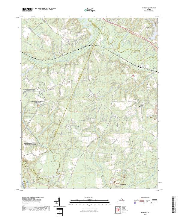
 1974 Roxbury1977 Print · USGSCharles City County is captured in detail during the mid-seventies in this orthophoto survey of the Virginia Peninsula. Local history researchers can examine the rural land patterns surrounding the settlement of Roxbury and trace the road networks of the era.
 - 1984 Map of Petersburg, 1985 Print
 1984 Petersburg1985 Print · USGSCentral Virginia in the mid-eighties shows a complex landscape of growing suburban centers and significant military installations. Researchers can trace historic boundaries and civic sites from Amelia Court House to the Glendale Nat Cem and Virginia State College.2 unique versions available
 - 1994 Map of Roxbury, 1996 Print
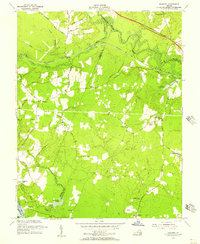
 1994 Roxbury1996 Print · USGSCharles City and Henrico Counties appear here in the mid-1990s, balancing their Civil War heritage with quiet rural life. Genealogists and historians can locate Glendale National Cemetery, the Richmond National Battlefield Park, and old settlements like Nances Shop or Elko.
 - 1999 Map of Roxbury, 2000 Print
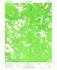
 1999 Roxbury2000 Print · USGSCharles City and Henrico counties at the end of the millennium show a landscape deeply shaped by Civil War history and river geography. Researchers can trace historic boundaries and rural life through Glendale National Cemetery, Malvern Hill, and Ednas Mill.
 - 2010 Map of Roxbury, 2010 Print
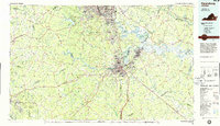
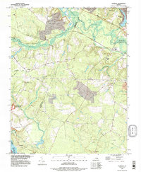
 2010 Roxbury2010 Print · USGSCovers Montpelier, including Ednas Mill, Nance, and other nearby areas
 - 2013 Map of Roxbury, 2013 Print
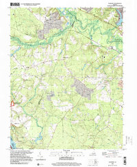
 2013 Roxbury2013 Print · USGSCovers Montpelier, including Ednas Mill, Nance, and other nearby areas
 - 2016 Map of Roxbury, 2016 Print
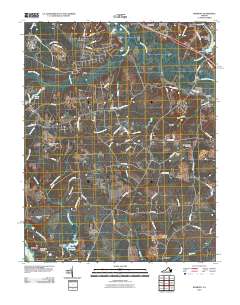
 2016 Roxbury2016 Print · USGSCovers Montpelier, including Ednas Mill, Nance, and other nearby areas
 - 2019 Map of Roxbury, 2019 Print
 2019 Roxbury2019 Print · USGSCovers Montpelier, including Ednas Mill, Nance, and other nearby areas
 - 2022 Map of Roxbury, 2022 Print
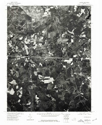
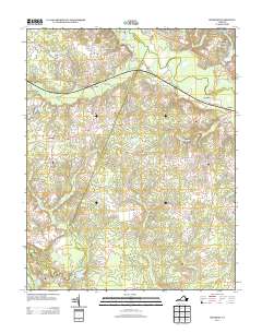
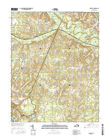
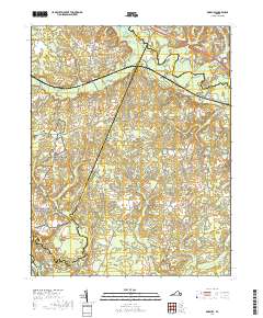
 2022 Roxbury2022 Print · USGSThe fields of Charles City and Henrico counties appear as a modern landscape deeply rooted in Civil War history. Genealogists and historians can trace family sites near Glendale National Cemetery, Malvern Hill, and the historic Ednas Mill.
End of results
Showing maps 1-18 of 18
Top cities near Montpelier
- Hopewell historical maps
- Highland Springs historical maps
- Fort Gregg-Adams historical maps
- Montrose historical maps
- Enon historical maps
- Prince George historical maps
See more
Frequently asked questions
- What are the different types of historical maps available for Montpelier?
- What is the oldest map of Montpelier?
- Where can I purchase historical maps of Montpelier for my home or office?
- Where can I download high-res historical maps of Montpelier?
- Are there historical topographic maps available for Montpelier?
- Is there historical aerial imagery available for Montpelier?
- Where are historical maps of Montpelier sourced from?