2000s (21st Century) Maps of Independence, Virginia
Explore 11 historic maps of Independence from the 2000s (21st Century). These maps offer a rare glimpse into what life looked like during the 2000s — showing old roads, neighborhoods, homes, and landmarks that have changed or disappeared over time.
Whether you're researching your family's past, planning a metal detecting trip, or studying how Independence's landscape evolved across the 2000s, these high-resolution maps are a powerful tool for exploring the history of this region.
- Focus on a specific era: All maps on this page are from the 2000s, giving you a focused view of this time period.
- See what’s changed: Compare century-old streets, trails, and buildings to today's modern landscape using overlays and satellite layers.
- Research with precision: Use these maps for genealogy, historical research, land use analysis, or educational projects.
- View, download, or print: Maps are fully viewable online in high resolution, and can be downloaded or printed for your own records.
Start exploring Independence's history through authentic maps from the 2000s. This is your window into the past.
Independence, VA maps
(11)- 2000 Map of Sparta West, 2001 Print
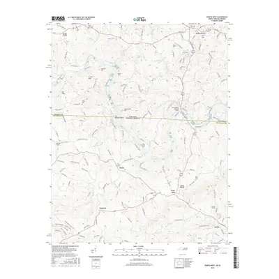
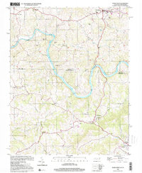 2000 Sparta West2001 Print · USGSThe North Carolina and Virginia border comes alive in the late twentieth century as the New River winds past small settlements and family farms. Trace local history through numerous rural landmarks like Osborne Memorial Ch, Penitentiary Hill, and the Drive-in Theatre.
 - 2011 Map of Elk Creek, 2011 Print
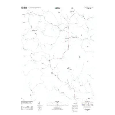
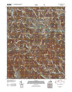 2011 Elk Creek2011 Print · USGSCovers Independence, including Elk Creek, Turkey Fork, and other nearby areas
 - 2011 Map of Sparta West, 2011 Print
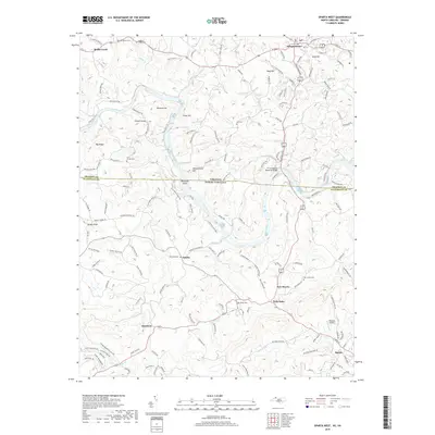
 2011 Sparta West2011 Print · USGSCovers Independence, including Sparta, Amelia, and other nearby areas
 - 2013 Map of Sparta West, 2013 Print
 2013 Sparta West2013 Print · USGSCovers Independence, including Sparta, Amelia, and other nearby areas
 - 2013 Map of Elk Creek, 2013 Print
 2013 Elk Creek2013 Print · USGSCovers Independence, including Elk Creek, Turkey Fork, and other nearby areas
 - 2016 Map of Sparta West, 2016 Print
 2016 Sparta West2016 Print · USGSCovers Independence, including Sparta, Amelia, and other nearby areas
 - 2016 Map of Elk Creek, 2016 Print
 2016 Elk Creek2016 Print · USGSCovers Independence, including Elk Creek, Turkey Fork, and other nearby areas
 - 2019 Map of Sparta West, 2019 Print
 2019 Sparta West2019 Print · USGSCovers Independence, including Sparta, Amelia, and other nearby areas
 - 2019 Map of Elk Creek, 2019 Print
 2019 Elk Creek2019 Print · USGSCovers Independence, including Elk Creek, Turkey Fork, and other nearby areas
 - 2022 Map of Sparta West, 2022 Print
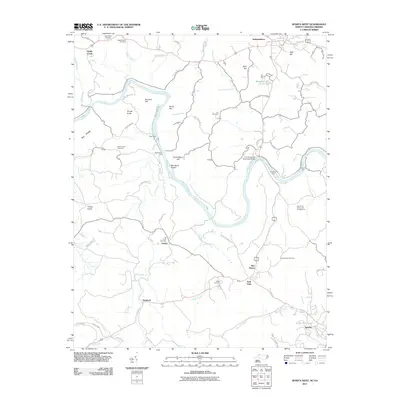
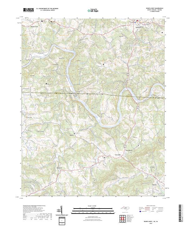 2022 Sparta West2022 Print · USGSThe North Carolina and Virginia state line bisects this modern study of the Blue Ridge plateau and the winding New River valley. Genealogists can trace family roots through numerous local burial sites like Elk Creek Cem and Saddle Creek Cem or the streets of Independence.
 - 2022 Map of Elk Creek, 2022 Print
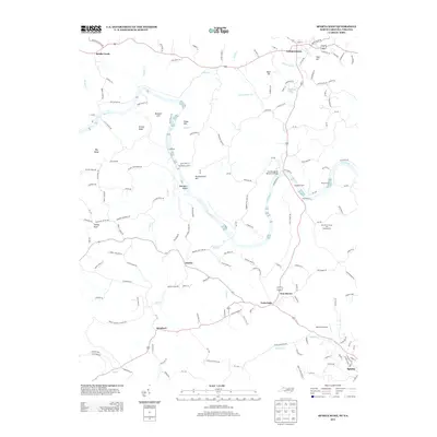
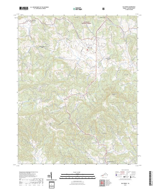 2022 Elk Creek2022 Print · USGSGrayson County's high country is captured here in the early 2020s, centered on the Elk Creek valley and the town of Independence. Genealogists and hikers can trace old routes like Old Kentucky Rd and find landmarks like Bennington Mill and Comers Rock.
End of results
Showing maps 1-11 of 11
Top cities near Independence
- Sparta historical maps
- Ivanhoe historical maps
- Fries historical maps
- Baywood historical maps
- Stevens Creek historical maps
- Hilltown historical maps
Frequently asked questions
- What are the different types of historical maps available for Independence?
- What is the oldest map of Independence?
- Where can I purchase historical maps of Independence for my home or office?
- Where can I download high-res historical maps of Independence?
- Are there historical topographic maps available for Independence?
- Is there historical aerial imagery available for Independence?
- Where are historical maps of Independence sourced from?