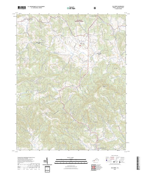
2022 Map of Elk Creek
USGS Topo · Published 2022About this map
Independence sits at the southern edge of this Blue Ridge landscape, serving as a hub for the surrounding high-country settlements and timberlands. Much of the northern terrain is managed as part of the Jefferson National Forest, where heights like Round Mtn and Comers Rock define the horizon. The namesake Elk Creek drainage shapes the local geography, winding past Lower Elk Creek and the historical site of Bennington Mill.
Find a feature on this map
103 named features on this map. Tap any name to fly to it.
Don’t see what you’re looking for? This feature index may not catch every label — zoom into the map to look around manually.
Map Details
Editions of this 2022 Elk Creek Map
This is the sole edition of this map. No revisions or reprints were ever made.
Historical Maps of Independence Through Time
17 maps found
1935 Middle Fox Creek
Grayson County, VA

1935 Mount Rogers
Grayson County, VA

1935 Mouth of Wilson
Grayson County, VA
1935 Trout Dale
Grayson County, VA
1939 Mount Rogers
Grayson County, VA
1940 Mouth of Wilson
Grayson County, VA
1959 Middle Fox Creek
Grayson County, VA
1959 Trout Dale
Grayson County, VA
1967 Brierpatch Mountain
Grayson County, VA
1967 Elk Creek
Grayson County, VA
2000 Mouth Of Wilson
Grayson County, VA
2000 Trout Dale
Grayson County, VA
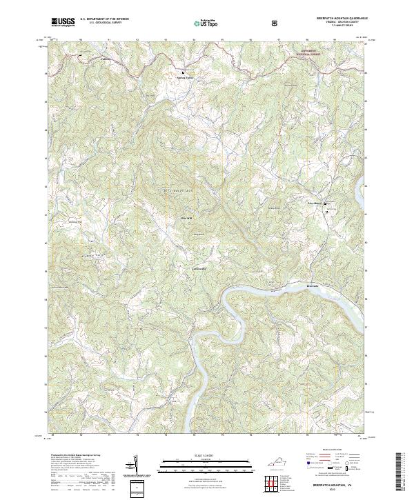
2022 Brierpatch Mountain
Grayson County, VA
2022 Elk Creek
Grayson County, VA
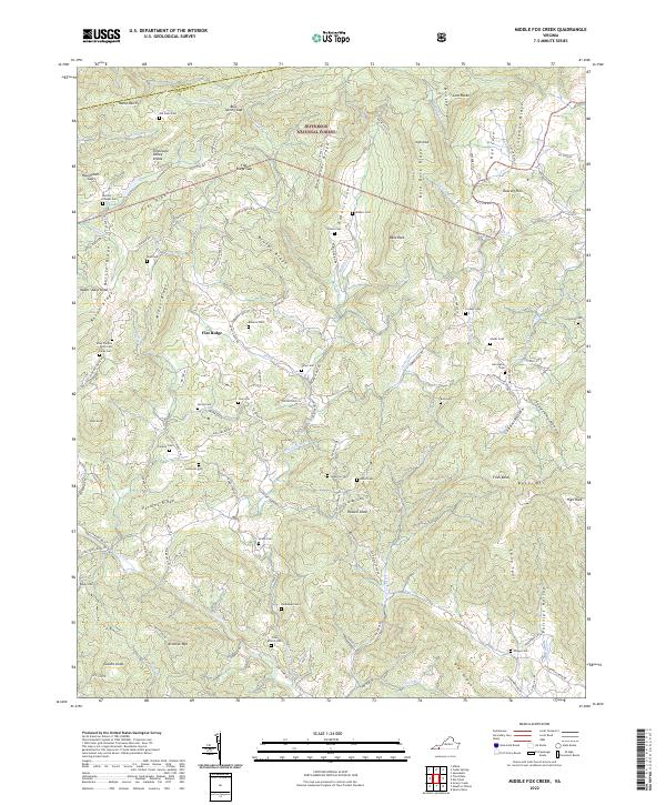
2022 Middle Fox Creek
Grayson County, VA
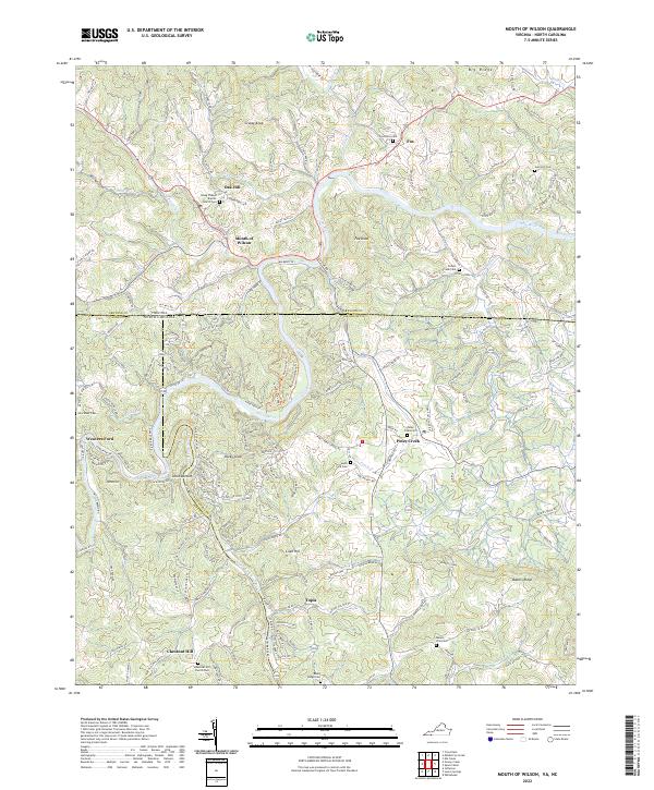
2022 Mouth of Wilson
Grayson County, VA
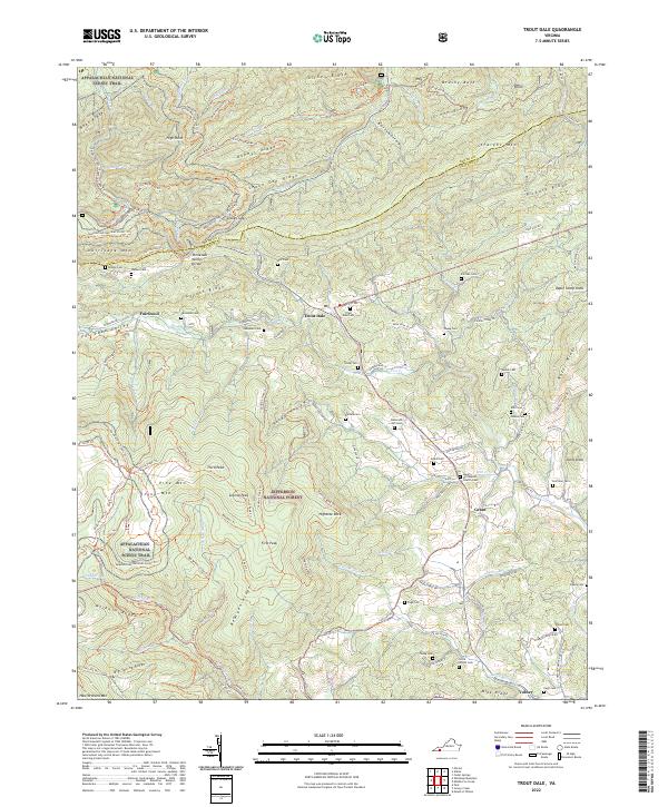
2022 Trout Dale
Grayson County, VA