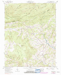
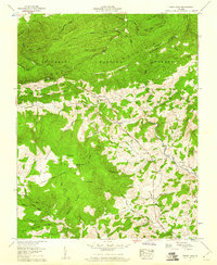
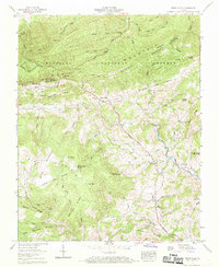
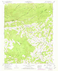
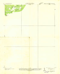
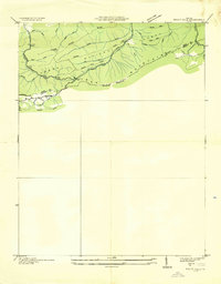
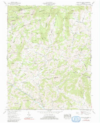
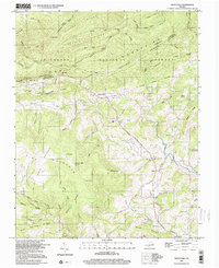
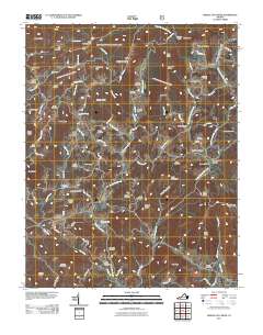
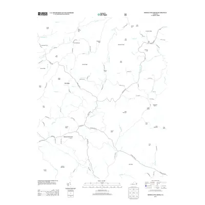
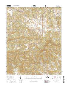
1959 Map of Trout Dale
USGS Topo · Published 1991About this map
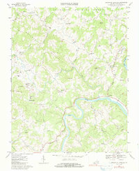
Trout Dale serves as the central hub of this mountain landscape during the late 1950s, situated near the intersection of the Dickey Highway and the Buchanan Highway. The map illustrates a high-elevation terrain dominated by Iron Mountain and Pine Mountain, where the Appalachian Trail follows the ridge lines through the Jefferson National Forest. For local historians, the sheet is exceptionally detailed with family-named cemeteries and landmarks, such as Bolt Cem, Campbell Cem, and Blevins Cem, which are scattered among the steep hollows of Fox Creek and Comers Creek. South of the mountain crests, the landscape opens into Grayson Highlands State Park and settlements like Grant and Volney. The presence of a strip mine near the northern border and numerous cemeteries alongside Comers Creek Ch and Liberty Hill Ch reflects the rural community's reliance on the narrow valley floors for both agriculture and industry.
Find a feature on this map
101 named features on this map. Tap any name to fly to it.
Don’t see what you’re looking for? This feature index may not catch every label — zoom into the map to look around manually.
Map Details
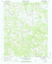
Editions of this 1959 Trout Dale Map
4 editions found
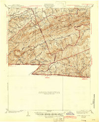
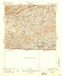
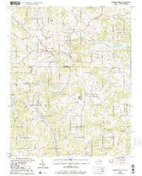
Historical Maps of Troutdale Through Time
37 maps found
1935 Middle Fox Creek
Grayson County, VA

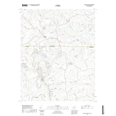
1935 Mount Rogers
Grayson County, VA

1935 Mouth of Wilson
Grayson County, VA
1935 Trout Dale
Grayson County, VA
1939 Mount Rogers
Grayson County, VA
1940 Mouth of Wilson
Grayson County, VA
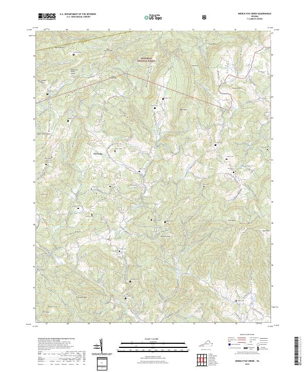
1959 Middle Fox Creek
Grayson County, VA
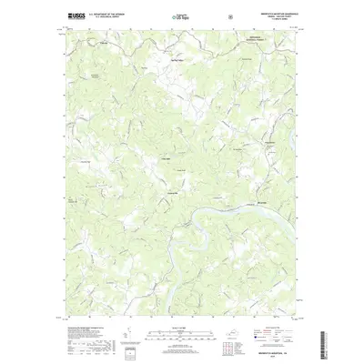
1959 Trout Dale
Grayson County, VA
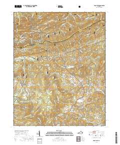
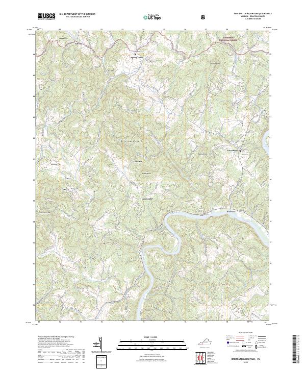
1967 Brierpatch Mountain
Grayson County, VA
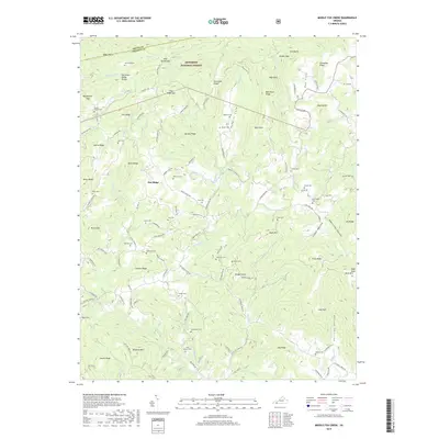
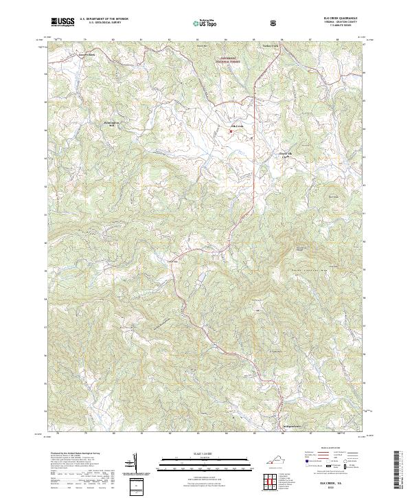
1967 Elk Creek
Grayson County, VA
2000 Mouth Of Wilson
Grayson County, VA
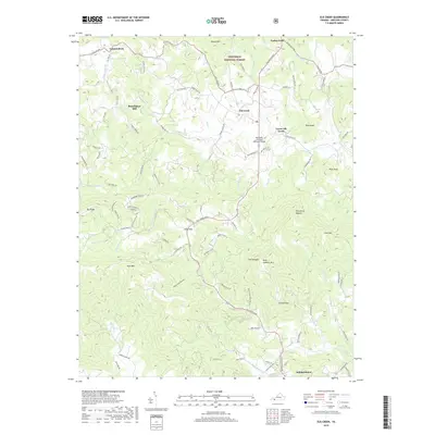
2000 Trout Dale
Grayson County, VA
2010 Mouth of Wilson
Grayson County, VA
2011 Brierpatch Mountain
Grayson County, VA
2011 Elk Creek
Grayson County, VA
2011 Middle Fox Creek
Grayson County, VA
2011 Trout Dale
Grayson County, VA
2013 Brierpatch Mountain
Grayson County, VA
2013 Elk Creek
Grayson County, VA
2013 Middle Fox Creek
Grayson County, VA
2013 Mouth of Wilson
Grayson County, VA
2013 Trout Dale
Grayson County, VA
2016 Brierpatch Mountain
Grayson County, VA
2016 Elk Creek
Grayson County, VA
2016 Middle Fox Creek
Grayson County, VA
2016 Mouth of Wilson
Grayson County, VA
2016 Trout Dale
Grayson County, VA
2019 Brierpatch Mountain
Grayson County, VA
2019 Elk Creek
Grayson County, VA
2019 Middle Fox Creek
Grayson County, VA
2019 Mouth of Wilson
Grayson County, VA
2019 Trout Dale
Grayson County, VA
2022 Brierpatch Mountain
Grayson County, VA
2022 Elk Creek
Grayson County, VA
2022 Middle Fox Creek
Grayson County, VA
2022 Mouth of Wilson
Grayson County, VA
2022 Trout Dale
Grayson County, VA