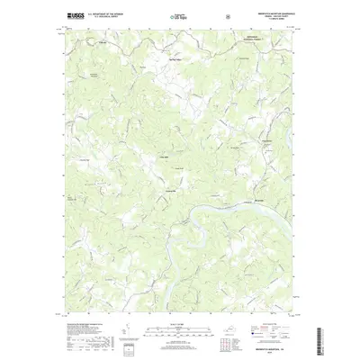
2019 Map of Brierpatch Mountain
USGS Topo · Published 2019About this map
New River frontage and the winding course of Elk Creek define the settlement patterns of this corner of Grayson County. The landscape is dotted with rural communities that historically relied on the local waterways and mills, such as Clito Mill and Riverside. Transportation routes like State Rte 805 and Carsonville Rd connect these small hubs to the surrounding highlands, including the prominent heights of Brierpatch Mountain and Point Lookout Mtn.
Find a feature on this map
122 named features on this map. Tap any name to fly to it.
Don’t see what you’re looking for? This feature index may not catch every label — zoom into the map to look around manually.
Map Details
Editions of this 2019 Brierpatch Mountain Map
This is the sole edition of this map. No revisions or reprints were ever made.
Other maps of this area

1889 · Hillsville
USGS Topo · 1:125,000

1889 · Wytheville
USGS Topo · 1:125,000

1892 · Hillsville
USGS Topo · 1:125,000

1892 · Wytheville
USGS Topo · 1:125,000

1896 · Hillsville
USGS Topo · 1:125,000

1930 · Speedwell
USGS Topo · 1:62,500

1930 · Independence
USGS Topo · 1:48,000

1930 · Max Meadows
USGS Topo · 1:62,500

1931 · Galax
USGS Topo · 1:48,000

1933 · Independence
USGS Topo · 1:62,500