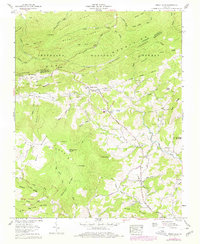
1959 Map of Trout Dale
USGS Topo · Published 1978About this map
The town of Trout Dale and the surrounding high country of the Iron Mountains define this mid-century survey of the Grayson County border. Settlement is concentrated along the Buchanan Highway and the B F Buchanan Highway, following the valley floors where Fox Creek and Little Wilson Creek carve through the massif. The map documents a transition from the industrial character of Fairwood, located near the Grayson Highlands State Park boundary, to the smaller agricultural hamlets of Grant and Volney.
Find a feature on this map
93 named features on this map. Tap any name to fly to it.
Don’t see what you’re looking for? This feature index may not catch every label — zoom into the map to look around manually.
Map Details
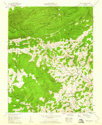
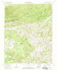
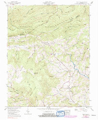
Editions of this 1959 Trout Dale Map
4 editions found
Other maps of this area

1889 · Wytheville
USGS Topo · 1:125,000

1891 · Abingdon
USGS Topo · 1:125,000

1892 · Wytheville
USGS Topo · 1:125,000

1894 · Abingdon
USGS Topo · 1:125,000

1909 · Abingdon
USGS Topo · 1:96,000

1911 · Abingdon
USGS Topo · 1:125,000

1931 · Rural Retreat
USGS Topo · 1:48,000

1935 · Mouth of Wilson
USGS Topo · 1:48,000

1935 · Park
USGS Topo · 1:24,000

1935 · Mount Rogers
USGS Topo · 1:48,000