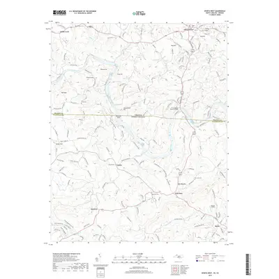
2019 Map of Sparta West
USGS Topo · Published 2019About this map
The New River carves a serpentine path through the Blue Ridge foothills along the border of Grayson County, Virginia, and Alleghany County, North Carolina. This landscape is defined by its high points and narrow hollows, featuring prominent peaks like Turkey Knob, Buzzard Hill, and Penitentiary Hill. The settlement of Independence sits at the northern edge, while the town of Sparta anchors the southeastern corner.
Find a feature on this map
156 named features on this map. Tap any name to fly to it.
Don’t see what you’re looking for? This feature index may not catch every label — zoom into the map to look around manually.
Map Details
Editions of this 2019 Sparta West Map
This is the sole edition of this map. No revisions or reprints were ever made.
Other maps of this area

1889 · Wytheville
USGS Topo · 1:125,000

1889 · Wilkesboro
USGS Topo · 1:125,000

1891 · Wilkesboro
USGS Topo · 1:125,000

1892 · Wytheville
USGS Topo · 1:125,000

1930 · Independence
USGS Topo · 1:48,000

1933 · Independence
USGS Topo · 1:62,500

1935 · Mouth of Wilson
USGS Topo · 1:48,000

1935 · Middle Fox Creek
USGS Topo · 1:24,000

1940 · Mouth of Wilson
USGS Topo · 1:62,500

1953 · Winston-Salem
USGS Topo · 1:250,000