Old Maps of Independence, Virginia for Hiking & Exploration
Hike through history with 21 historic maps of Independence. Explore old trails, ghost towns, and forgotten backroads — perfect for outdoor adventurers and local explorers.
- Rediscover forgotten places: Map out old mining camps, roads, and footpaths that no longer exist on modern maps.
- Layer with modern tools: Combine with LiDAR or satellite views to plan hikes through historical terrain.
- Made for exploration: Popular among hikers, overlanders, and local history lovers.
Use these maps to find adventure and explore the hidden past of Independence.
Independence, VA maps
(21)- 1889 Map of Wytheville
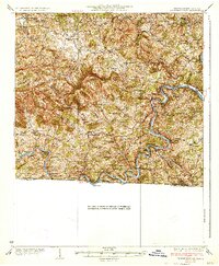
 1889 Wytheville1889 Print · USGSSouthwestern Virginia and northwestern North Carolina are mapped here during the late nineteenth-century rise of the mountain iron industry. Genealogists and historians can locate early post offices and industrial sites such as Bridle Creek P.O., Eagle Furnace, and Rural Retreat.2 unique versions available
 - 1892 Map of Wytheville, 1897 Print
 1892 Wytheville1897 Print · USGSThe high ridges and river valleys of Southwest Virginia and Northwest North Carolina are captured here in the late nineteenth century. Genealogists can trace family footprints across the Iron Mountains to old industrial sites like White Rock Furnace and remote post offices such as Hampton P.O.6 unique versions available
 - 1930 Map of Independence
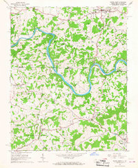
 1930 Independence1930 Print · USGSGrayson County and the North Carolina borderlands are captured here during the 1930s, showing a landscape of high ridges and deep river bends. Genealogists can trace family names through landmarks like Moyers Store, Bennington Mill, and numerous river crossings like Moore Ferry.
 - 1933 Map of Independence
 1933 Independence1933 Print · USGSGrayson County in the early thirties is captured here as a landscape of river crossings and mountain settlements. Genealogists and local historians can trace family roots through numerous landmarks like Boyer Ferry, Grayson Mill, and Cox Chapel.3 unique versions available
 - 1953 Map of Winston-Salem, 1974 Print
 1953 Winston-Salem1974 Print · USGSThe North Carolina Piedmont and Virginia highlands meet in the mid-1950s, a landscape defined by the tobacco and textile hubs of the Blue Ridge foothills. Researchers can trace the rail-and-river geography connecting Winston-Salem to mountain towns like Mount Airy and Galax.2 unique versions available
 - 1955 Map of Winston-Salem
 1955 Winston-Salem1955 Print · USGSThe Central Blue Ridge and Piedmont transition are captured here in the mid-fifties, from the industrial hub of Winston-Salem to the high peaks of Southwest Virginia. Genealogists can trace family landmarks like Richmond Hill Ch, Siloam Ch, and the old rail stops along the Southern Railway.
 - 1962 Map of Winston-Salem
 1962 Winston-Salem1962 Print · USGSThe North Carolina Piedmont meets the Virginia highlands in the early sixties, showing the rail corridors and mountain gaps of the southern Appalachians. Researchers can trace the Blue Ridge Parkway or locate family sites near Winston-Salem, Mount Airy, and Hanging Rock Mountain.
 - 1966 Map of Sparta West, 1968 Print
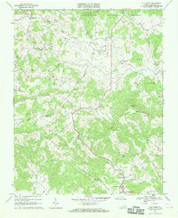
 1966 Sparta West1968 Print · USGSThe North Carolina and Virginia borderlands appear in the mid-1960s as the New River winds through high ridge country. Genealogists and local historians can trace rural congregations like Mt Carmel Ch and family-named landmarks from Buzzard Hill to Bridle Creek.2 unique versions available
 - 1967 Map of Elk Creek, 1970 Print
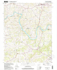
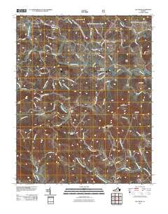
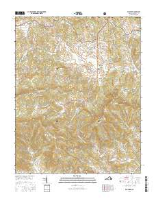
 1967 Elk Creek1970 Print · USGSGrayson County's high ridges and mountain settlements are captured here in the late sixties, from the peak of BUCK MOUNTAIN down to the streets of Independence. Genealogists can trace family footprints at Stones Chapel, Bennington Mill, and the community of Elk Creek.2 unique versions available
 - 1982 Map of Wytheville, 1983 Print
 1982 Wytheville1983 Print · USGSSouthwest Virginia's ridge-and-valley landscape is shown here in the early 1980s as the Interstate era fully connected the region. Genealogists and historians can trace family locations near Emory and Henry College, the historic Austinville Mine, and settlements like Saltville or Lansing.3 unique versions available
 - 2000 Map of Sparta West, 2001 Print
 2000 Sparta West2001 Print · USGSThe North Carolina and Virginia border comes alive in the late twentieth century as the New River winds past small settlements and family farms. Trace local history through numerous rural landmarks like Osborne Memorial Ch, Penitentiary Hill, and the Drive-in Theatre.
 - 2011 Map of Elk Creek, 2011 Print
 2011 Elk Creek2011 Print · USGSCovers Independence, including Elk Creek, Turkey Fork, and other nearby areas
 - 2011 Map of Sparta West, 2011 Print
 2011 Sparta West2011 Print · USGSCovers Independence, including Sparta, Amelia, and other nearby areas
 - 2013 Map of Sparta West, 2013 Print
 2013 Sparta West2013 Print · USGSCovers Independence, including Sparta, Amelia, and other nearby areas
 - 2013 Map of Elk Creek, 2013 Print
 2013 Elk Creek2013 Print · USGSCovers Independence, including Elk Creek, Turkey Fork, and other nearby areas
 - 2016 Map of Sparta West, 2016 Print
 2016 Sparta West2016 Print · USGSCovers Independence, including Sparta, Amelia, and other nearby areas
 - 2016 Map of Elk Creek, 2016 Print
 2016 Elk Creek2016 Print · USGSCovers Independence, including Elk Creek, Turkey Fork, and other nearby areas
 - 2019 Map of Sparta West, 2019 Print
 2019 Sparta West2019 Print · USGSCovers Independence, including Sparta, Amelia, and other nearby areas
 - 2019 Map of Elk Creek, 2019 Print
 2019 Elk Creek2019 Print · USGSCovers Independence, including Elk Creek, Turkey Fork, and other nearby areas
 - 2022 Map of Sparta West, 2022 Print
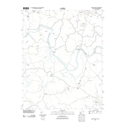
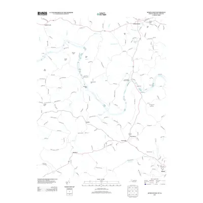
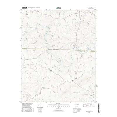
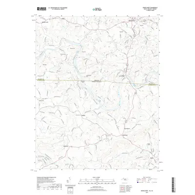
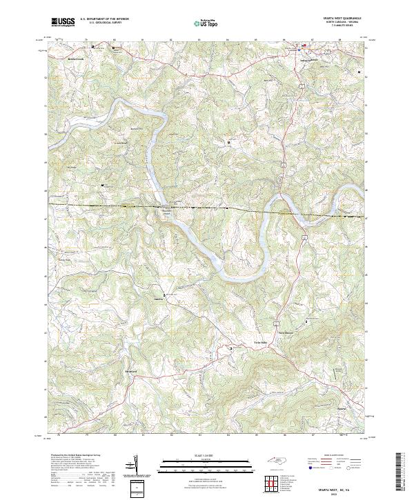 2022 Sparta West2022 Print · USGSThe North Carolina and Virginia state line bisects this modern study of the Blue Ridge plateau and the winding New River valley. Genealogists can trace family roots through numerous local burial sites like Elk Creek Cem and Saddle Creek Cem or the streets of Independence.
 - 2022 Map of Elk Creek, 2022 Print
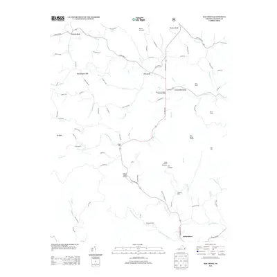
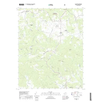
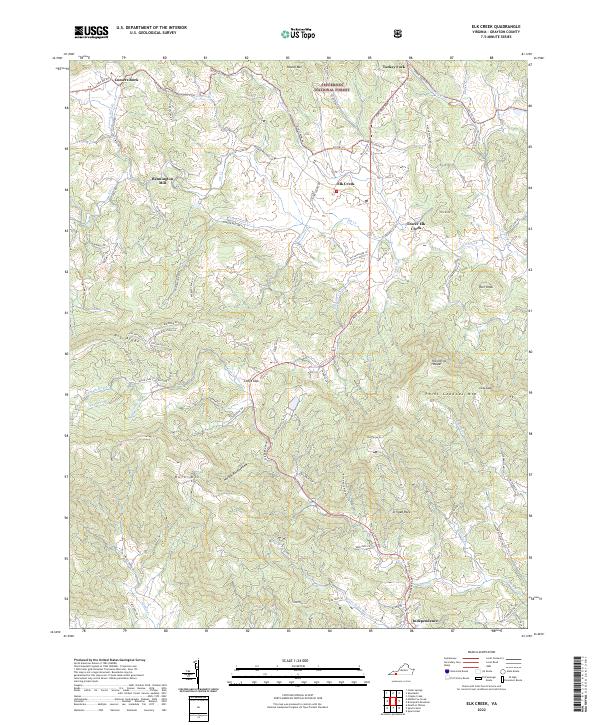 2022 Elk Creek2022 Print · USGSGrayson County's high country is captured here in the early 2020s, centered on the Elk Creek valley and the town of Independence. Genealogists and hikers can trace old routes like Old Kentucky Rd and find landmarks like Bennington Mill and Comers Rock.
End of results
Showing maps 1-21 of 21
Top cities near Independence
- Sparta historical maps
- Ivanhoe historical maps
- Fries historical maps
- Baywood historical maps
- Stevens Creek historical maps
- Hilltown historical maps
Frequently asked questions
- What are the different types of historical maps available for Independence?
- What is the oldest map of Independence?
- Where can I purchase historical maps of Independence for my home or office?
- Where can I download high-res historical maps of Independence?
- Are there historical topographic maps available for Independence?
- Is there historical aerial imagery available for Independence?
- Where are historical maps of Independence sourced from?